Introduction
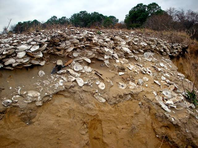
During the Last Glacial Maximum (LGM), when global sea levels dropped by more than 120 meters, the geographic layout of Southeast Asia and Oceania looked radically different. The Aru Islands, now an isolated archipelago in eastern Indonesia, were completely connected to New Guinea and Australia as part of the massive Pleistocene continent known as Sahul. Excavations inside limestone caves on Aru, most notably at Liang Lemdubu, have uncovered a deep sequence of human occupation extending back at least 30,000 years. This site provides an unmatched record of how prehistoric hunter-gatherers adapted to the massive savannas and open woodlands of ancient Sahul, focusing their hunting cultures on the diverse marsupial fauna of the region.
Savanna Paleoecology and Marsupial Exploitation Strategies
The 30,000-year-old stratigraphic layers at Liang Lemdubu reveal a paleoenvironment that contrasts sharply with the dense, modern tropical rainforests that cover the Aru Islands today. During the LGM, the region was an expansive, flat savanna corridor that connected northern Australia directly to the New Guinea highlands, allowing for the widespread movement of distinct Australo-Papuan wildlife.
The prehistoric hunters who occupied Liang Lemdubu took full advantage of this open landscape, developing specialized hunting strategies tailored to capture rapid marsupial species.
The faunal record within the cave is dominated by the bones of the agile wallaby (Macropus agilis), alongside various species of bandicoots, pademelons, and the giant flightless cassowary.
The high density of charred and fractured wallaby bones indicates that human groups utilized fire-stick farming or coordinated brush-burning techniques to corral wallabies in the open grasslands.
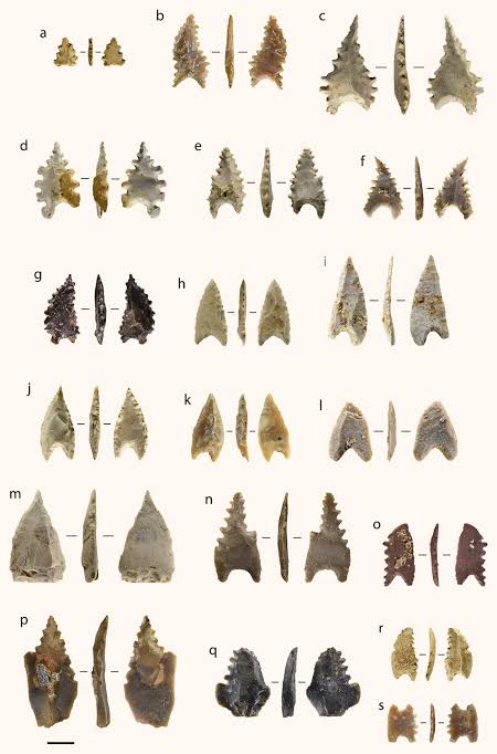
The stone tool kit accompanying these hunts consisted of simple, unretouched chert flakes used for butchering carcasses, scraping hides, and working wood. This shows that their evolutionary success relied on an intimate understanding of animal behavior and seasonal environmental management rather than complex stone point technology.
Conclusion
The deep-time records of the Aru Islands provide vital insights into the shared environmental and cultural history of Indonesia and Papua. Liang Lemdubu confirms that long before the rising seas of the post-glacial thaw isolated these landmasses around 8,000 years ago, Pleistocene hunter-gatherers were already master land-managers, successfully navigating the massive savannas of ancient Sahul. The legacy of their 30,000-year wallaby hunts stands as a powerful testament to the flexibility of human adaptation, documenting a forgotten era when one could walk on dry land from eastern Indonesia to the heart of Australia.