Cutting-edge laser scanning reveals an ancient stronghold hidden beneath dense woodland
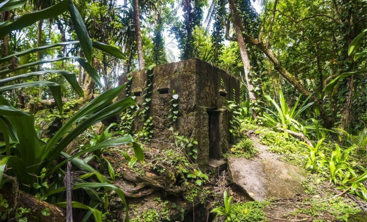
Deep within the lush forests of Romania’s Neamț region, archaeologists have uncovered the remains of a mysterious 5,000-year-old fortress, revealing new chapters of ancient history through the power of LiDAR (Light Detection and Ranging) technology. Dating back to the pivotal transition between the Neolithic and Bronze Ages, this remarkable find sheds light on the sophistication of early settlement and defense strategies.
LiDAR: Peering Beneath the Forest Canopy
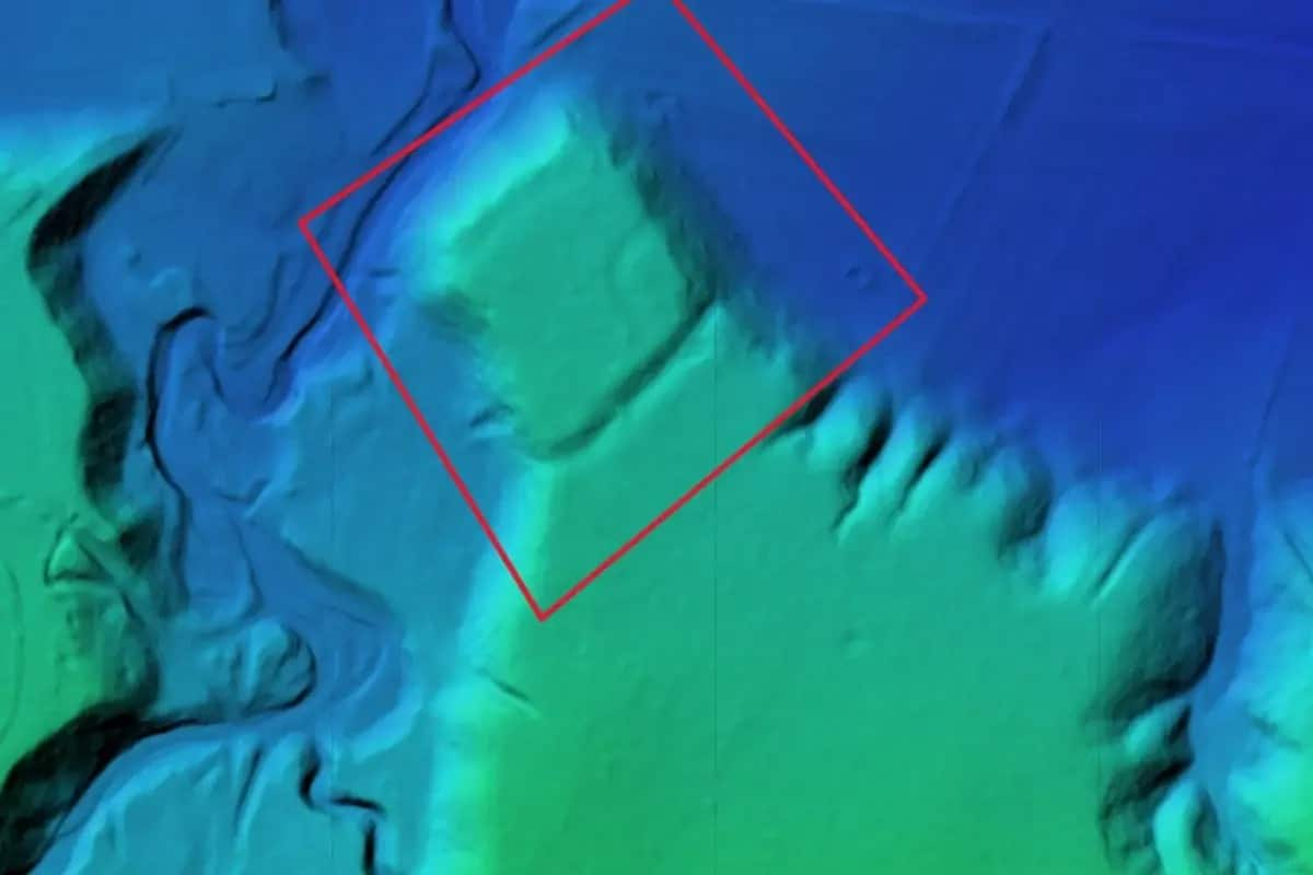
LiDAR, a revolutionary technology that uses laser pulses to create detailed 3D maps of the earth’s surface, proved instrumental in exposing this long-hidden fortress. Thick vegetation had previously concealed the site from view, but the high-resolution scans conducted by LiDAR-equipped drones enabled researchers to visualize the terrain and structural remains with unprecedented clarity.
Lead archaeologist Vasile Diaconu explained:
“The LiDAR data gave us a crystal-clear picture of this 5,000-year-old fortress, revealing architectural features impossible to discern on the ground due to dense forest cover.”
Defensive Mastery in the Ancient World
The scans uncovered remarkable defensive features, including deep surrounding ditches and imposing earthen ramparts. Positioned atop a commanding hill, the fortress likely offered its inhabitants extensive visibility over the surrounding landscape—an invaluable advantage for spotting potential threats. The scale and complexity of these fortifications indicate the site’s critical strategic role in its era.
Bridging Archaeology and Technology
This discovery highlights the transformative impact of modern technology on archaeological research. LiDAR, in particular, allows for the non-invasive exploration of vast, difficult-to-access areas without disturbing delicate sites. Diaconu emphasized this synergy:
“By leveraging advanced technologies, we can unlock the intricate complexities of ancient sites in ways that were unimaginable just a decade ago.”
A Mentor-Student Collaboration Fueled by Passion
Beyond the groundbreaking scientific achievement, this project also symbolizes a meaningful collaboration between mentor and protégé. Vasile Diaconu worked closely with his former student Vlad Dulgheriu, owner of Geocad Services—the company that made the LiDAR survey possible. Their partnership exemplifies how academic mentorship can drive innovation and discovery.
Diaconu expressed pride in Dulgheriu’s contributions:
“It’s deeply rewarding to see my former student bring fresh energy and expertise to this project, helping to push the boundaries of what we can uncover.”
Opening a Window into Ancient Civilizations
Thanks to LiDAR and the dedication of the research team, the secrets of this ancient fortress are now coming to light, offering invaluable insights into early human ingenuity, social organization, and defensive architecture.