Introduction
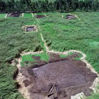
The Caral-Supe civilization (also known as Norte Chico), flourishing along Peru's north-central coast between 3,000 and 1,800 BCE, is recognized as the oldest known civilization in the Americas. Lacking ceramic technology during its early phases, Caral-Supe built its complex urban society around a different material core: cotton (Gossypium barbadense).
The desert conditions of the Supe Valley preserved thousands of textile fragments, proving that cotton weaving was the primary economic driver linking inland agricultural cities to coastal fishing communities.
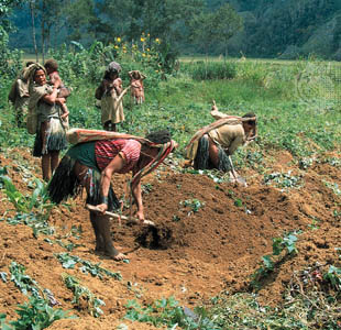
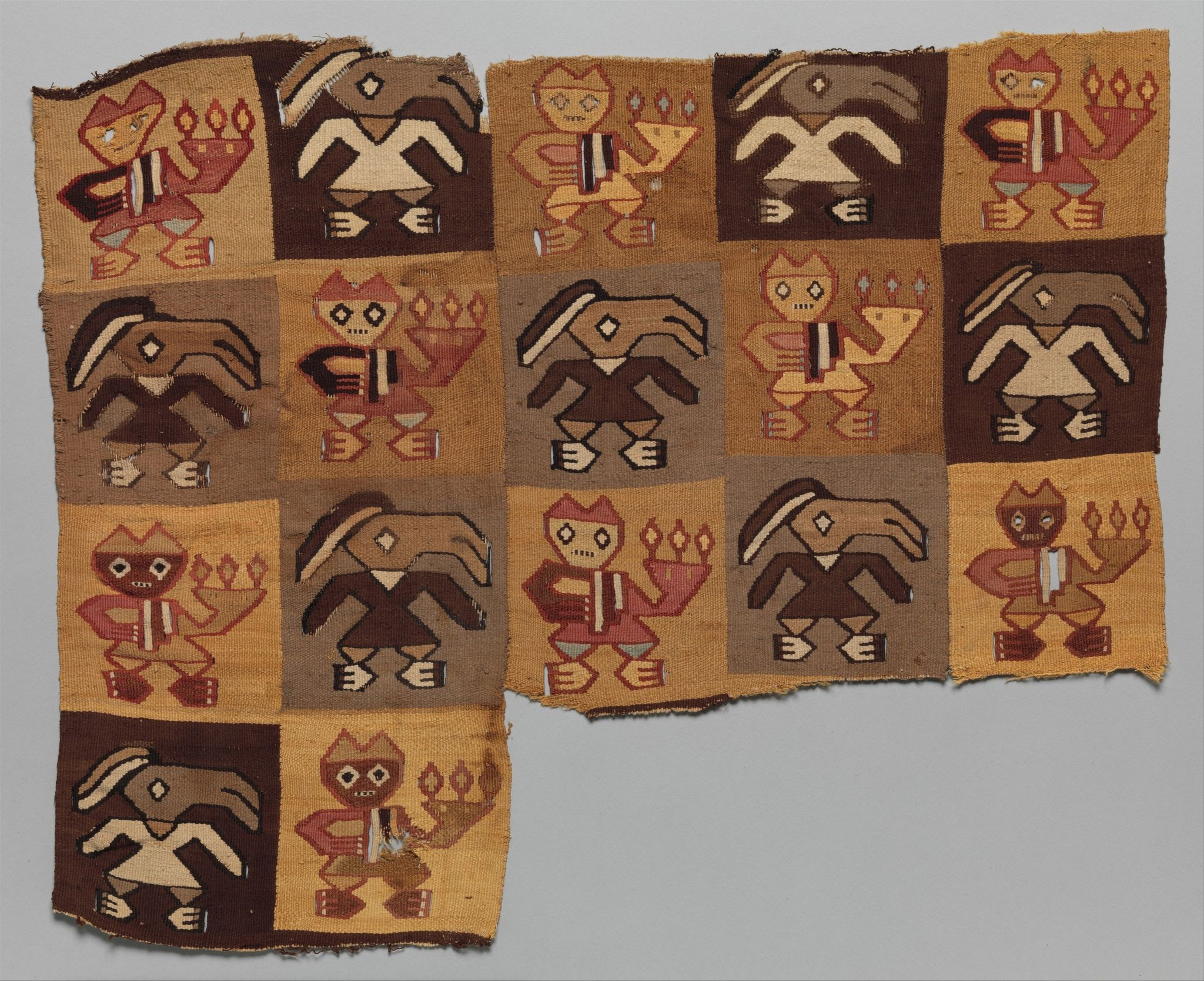
Caral-Supe textiles played a vital role in both structural engineering and socio-economic record-keeping, demonstrating the civilization's technological innovation. One of their most significant achievements was the use of shicra mesh bags, which were made from coarsely twined reeds and raw cotton cords. These woven bags were filled with stones and placed within pyramid foundations to absorb seismic shocks, making them one of the earliest known examples of earthquake-resistant engineering. The people of Caral-Supe also produced twined cotton fabrics from naturally colored cotton in shades of white, brown, beige, and pink. Before the invention of the loom frame, these fabrics were woven into garments, mats, and ceremonial shrouds for both everyday and ritual use. In addition, they developed early quipu prototypes consisting of knotted cotton cords of varying lengths and colors, which functioned as a non-verbal system for recording information such as accounting, trade transactions, and population censuses. This textile-based economy was further strengthened through a trade network that linked the inland Supe Valley, known for irrigated cotton and fiber production, with coastal fishing communities that supplied anchovies and dried shellfish. Through the exchange of cotton for marine resources, both regions benefited from a sustainable economic system centered on anchovy net production and trade.
The economic foundation of Caral-Supe rested on an indispensable exchange: inland farmers grew massive quantities of cotton to manufacture durable anchovy fishing nets and line cords, which were traded to coastal fishermen in exchange for dried sea protein (anchovies and sardines) to feed the urban builders of Caral's pyramids.
Conclusion
The 5,000-year-old cotton weaves of Caral-Supe prove that textiles were the foundation of South America's earliest civilization. From seismic-dampening shicra bags to fishing nets and quipus, cotton weaving fueled the rise of complex society in the ancient Andes.