Before the days of GPS, satellite imagery, and ground-penetrating radar, archaeologists had to rely on something a little less scientific — myths, local legends, intuition, and sometimes a good chat at the village café.
When we hear about the discovery of Troy, Pompeii, or Mycenae, it’s easy to overlook a fundamental question: How did they know where to dig? There were no maps, no coordinates — often not even ruins visible above ground. And yet, some people set out with little more than a dream, a story, and a stubborn obsession.
Archaeologists: The Original History Detectives
The earliest archaeologists were less like scientists and more like detectives. They pieced together clues from ancient myths, village lore, and the travel notes of explorers who had passed through “somewhere around here” a few centuries earlier. Then, with a mixture of boldness and gut instinct, they launched full-scale expeditions based on educated guesses.
Take Heinrich Schliemann, the man who set out to find the legendary city of Troy. He carried Homer’s Iliad in his pocket like a guidebook, using its poetic descriptions to match the landscape of Asia Minor. When he came across a hill that matched Homer’s clues — near the sea and overlooking a plain — he dug. And he struck gold. Literally.
Names, Memories, and Serendipity
Sometimes, the clues were hidden in plain sight. If a modern village bore a name like “Ancient Corinth,” there was a good chance that, beneath it, you’d find… Ancient Corinth. But the savviest archaeologists also considered how ancient names might have changed over centuries, tracing linguistic transformations to uncover forgotten cities.
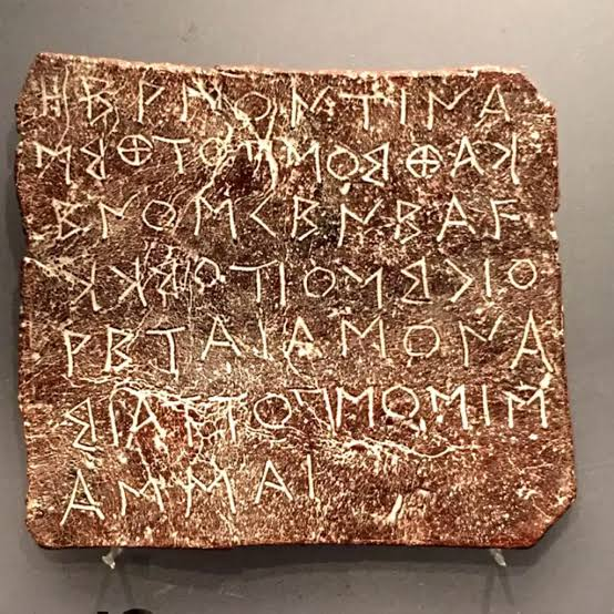
Monks, travelers, and early explorers of the 18th and 19th centuries left behind diaries, sketches, and notes — the breadcrumbs of history. These relics were tracked down in libraries, archives, and monasteries and became a kind of primitive GPS for the archaeologists who followed.
And then there were the locals — the living memory of the land. They were the Google Maps of the past. Grandfathers in villages would say, “There are some old stones over there,” or “When we dug a well, we found broken pots.” One casual comment over coffee could launch an entire excavation.
Today’s Tools and Yesterday’s Instincts
Today, technology plays a vital role in archaeology. Satellite images, LIDAR scans, and geophysical surveys can pinpoint promising dig sites with incredible precision. But even with all the tools at their disposal, the first step in every excavation remains the same: someone gazes across a landscape and wonders aloud —
“What if it’s there?”
Because sometimes, the most powerful archaeological tool of all… is curiosity.