Introduction
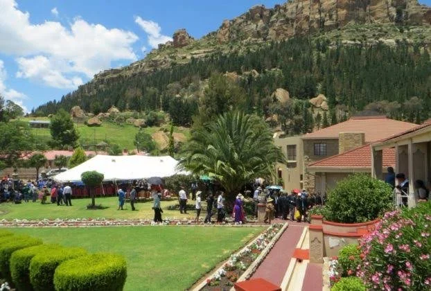
Mokhotlong lies in one of Lesotho's most mountainous regions.
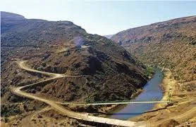
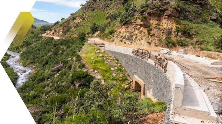
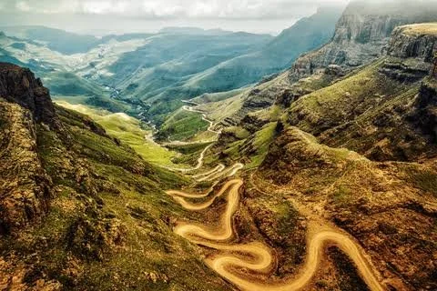
Its location near the eastern highlands places it within a landscape shaped by difficult passes, deep valleys, and connections across the Drakensberg.
The title Mokhotlong: Lesotho's Border Forts suggests defensive structures associated with the region's strategic position.
The term "border fort" should be used carefully because modern national boundaries do not always correspond to the political geography of earlier periods.
Mountain Passes and Political Boundaries
Mountain ranges can act as barriers, but they can also become routes.
A pass may connect communities that would otherwise be separated by steep terrain.
This makes the Mokhotlong region strategically important.
People traveling between Lesotho and neighboring territories could use mountain corridors.
Defensive Architecture
Defensive structures can take many forms.
They may include:
stone walls,
fortified settlements,
lookout positions,
enclosed compounds,
naturally defensible hills,
and temporary military camps.
Not every stone enclosure was a fort.
The Nineteenth-Century Context
The nineteenth century was a period of intense political change in southern Africa.
The Basotho kingdom developed amid conflict, migration, and competition for land.
The Free State–Basotho conflicts transformed political geography.
Mountain strongholds could therefore provide important defensive advantages.
Natural Fortifications
Lesotho's mountains themselves could serve as defensive infrastructure.
A settlement located on a steep plateau might be difficult for attackers to approach.
Narrow passes could be controlled.
High ground provided visibility.
This meant that formal fortification did not always require large walls.
Colonial Borders
The modern border between Lesotho and South Africa developed through nineteenth-century political processes.
The creation of colonial boundaries divided landscapes that had previously been connected through migration, trade, grazing, and kinship.
A site described today as a "border fort" may therefore have served a different purpose when it was constructed.
Archaeological Identification
Researchers examining possible defensive sites would look for:
strategic positioning,
walls,
entrances,
defensive terraces,
weapons,
ammunition,
domestic remains,
and evidence of occupation.
Historical maps and oral traditions can strengthen interpretations.
Heritage Importance
Mokhotlong's defensive landscapes are part of a broader history of Basotho resilience.
The mountains provided refuge, economic resources, and strategic advantages.
They also shaped the development of communities that had to negotiate difficult political conditions.
Conclusion
Mokhotlong: Lesotho's Border Forts is best understood as an exploration of defensive landscapes rather than proof that a standardized chain of border forts once guarded a modern frontier.
The region's geography was itself a powerful defensive resource.
Mountain passes, high plateaus, valleys, and settlements formed an interconnected system through which people moved, traded, fought, and protected their communities.