• MAIN PAGE
  • LATEST NEWS
    • Lost Cities
    • Archaeology's Greatest Finds
    • Underwater Discoveries
    • Greatest Inventions
    • Studies
    • Blog
  • PHILOSOPHY
  • HISTORY
  • RELIGIONS
    • Africa
    • Anatolia
    • Arabian Peninsula
    • Balkan Region
    • China - East Asia
    • Europe
    • Eurasian Steppe
    • Levant
    • Mesopotamia
    • Oceania - SE Asia
    • Pre-Columbian Civilizations of America
    • Iranian Plateau - Central Asia
    • Indus Valley - South Asia
    • Japan
    • The Archaeologist Editor Group
    • Scientific Studies
    • Aegean Prehistory
    • Historical Period
    • Byzantine Middle Ages
    • Predynastic Period
    • Dynastic Period
    • Greco-Roman Egypt
  • Rome
  • PALEONTOLOGY
  • About us
Menu

The Archaeologist

  • MAIN PAGE
  • LATEST NEWS
  • DISCOVERIES
    • Lost Cities
    • Archaeology's Greatest Finds
    • Underwater Discoveries
    • Greatest Inventions
    • Studies
    • Blog
  • PHILOSOPHY
  • HISTORY
  • RELIGIONS
  • World Civilizations
    • Africa
    • Anatolia
    • Arabian Peninsula
    • Balkan Region
    • China - East Asia
    • Europe
    • Eurasian Steppe
    • Levant
    • Mesopotamia
    • Oceania - SE Asia
    • Pre-Columbian Civilizations of America
    • Iranian Plateau - Central Asia
    • Indus Valley - South Asia
    • Japan
    • The Archaeologist Editor Group
    • Scientific Studies
  • GREECE
    • Aegean Prehistory
    • Historical Period
    • Byzantine Middle Ages
  • Egypt
    • Predynastic Period
    • Dynastic Period
    • Greco-Roman Egypt
  • Rome
  • PALEONTOLOGY
  • About us

Mysterious 5,000-Year-Old Egyptian Map May Depict America

March 25, 2025

A mysterious artifact, allegedly discovered in an ancient Egyptian tomb, has sparked widespread speculation among historians and researchers.

The artifact in question is a 5,000-year-old map that some claim depicts the American continents—centuries before Columbus and long before any recorded transatlantic contact. Though unverified, the claims surrounding the map have ignited debates about what ancient civilizations might have truly known.

A Map That Challenges History

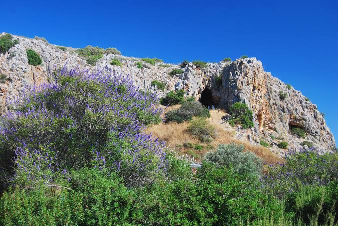
According to an archaeologist, the artifact was found in a sealed tomb. What makes it remarkable is not just its age but also what it appears to depict: coastlines, landmasses, and topographical features that bear a striking resemblance to North and South America.

Theories about possible contact between Old and New World civilizations are not new. Scholars have long noted architectural parallels between Egyptian pyramids and Mesoamerican step pyramids. While mainstream archaeologists often attribute these similarities to coincidence or parallel development, some wonder if there is more to the story.

If authentic, such a map could serve as the missing link—tangible evidence of early cultural exchange.

Suppressed Evidence or Ancient Misinterpretation?

Skeptics are quick to point out that no peer-reviewed publication has confirmed the existence of this map. No images, coordinates, or academic references have surfaced to support the claim, leaving it shrouded in mystery. Is the artifact being deliberately kept from public view, or could the reported findings stem from a misinterpretation of an unrelated object?

Ancient Egyptian artwork and inscriptions frequently incorporate symbolic geography—stylized representations of known and mythological lands. It is possible that what appears to be a map of America is actually a depiction of Duat (the Egyptian underworld), the four corners of the Earth, or an unknown allegorical vision.

Without access to the physical artifact or independent verification, the line between legend and history remains thin.

The Power of a Mystery

Despite the doubts, the claim has gained traction online, fueled by a fascination with ancient mysteries, lost civilizations, and alternative history. For many, this story stirs a deeper curiosity: What if history, as we’ve been taught, only scratches the surface?

Whether the map is a misinterpreted relic or a groundbreaking discovery, the very idea touches on an enduring human intrigue—the possibility that early civilizations were far more connected than we ever imagined.

In an era dominated by satellite imagery and digital cartography, the notion of a 5,000-year-old map redrawing our historical boundaries is nothing short of captivating.

← Has the Legendary "Hall of Records" Been Discovered in Egypt? Scientists Investigate What Lies Beneath GizaAwe-Inspiring Discovery: Archaeologists Uncover a 3,000-Year-Old Secret in Tutankhamun’s Tomb →
Featured
9914 (1).jpg
Jul 25, 2025
Will Future Generations Bother to Unearth Our Traces?
Jul 25, 2025
Read More →
Jul 25, 2025
imgi_10_v333aaAypWPnDYcGoJW8iX (1).jpg
Jul 25, 2025
Bronze Age Warrior Tomb Unearthed in Azerbaijan Reveals 3,800-Year-Old Elite Burial
Jul 25, 2025
Read More →
Jul 25, 2025
collage (1).png
Jul 25, 2025
Crete: The Six Minoan Palaces That Have Been Added to the UNESCO World Heritage List
Jul 25, 2025
Read More →
Jul 25, 2025
collage (1).png
Jul 25, 2025
100,000-Year-Old Skeletons in Israel Suggest Early Spirituality and Group Identity
Jul 25, 2025
Read More →
Jul 25, 2025
Gemini_Generated_Image_pd1afspd1afspd1a.png
Jul 24, 2025
The Myth of the Yeti: Ancient Legends of the Himalayas
Jul 24, 2025
Read More →
Jul 24, 2025
Gemini_Generated_Image_cn4p9gcn4p9gcn4p.png
Jul 24, 2025
The Worship of Baal in the Ancient Levant
Jul 24, 2025
Read More →
Jul 24, 2025
read more

Powered by The archaeologist