When we think of ancient road systems, the Roman roads often come to mind. Yet, high in the Andes Mountains of South America, another civilization created a remarkable network of highways that rivaled Rome’s in scale and ingenuity: the Inca Empire. Known as the Qhapaq Ñan or “Royal Road,” the Inca road system stretched across thousands of miles of rugged terrain, connecting mountaintop cities, jungle outposts, and coastal hubs. This system was the lifeblood of Inca communication, commerce, and control—an engineering marvel that helped bind together an empire without wheels, iron tools, or draft animals.
Building the Backbone of an Empire
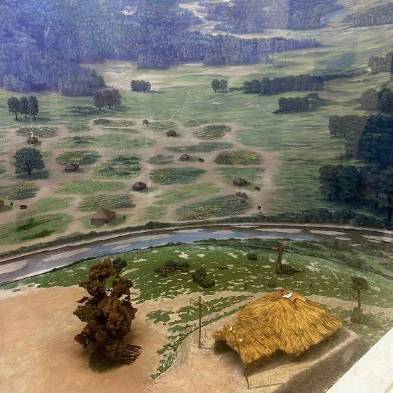
At its height, the Inca Empire (Tawantinsuyu) extended across modern-day Peru, Bolivia, Ecuador, Chile, Colombia, and Argentina. To administer this vast and diverse territory, the Incas developed a network of over 24,000 miles (40,000 km) of roads. These routes crossed some of the world’s most challenging landscapes: steep mountains, deep valleys, deserts, and rainforests.
Two main roads anchored the system:
The Coastal Road ran along the Pacific Ocean.
The Highland Road, the Qhapaq Ñan proper, snaked through the Andes mountains.
From these major arteries, smaller roads branched out like veins, connecting villages, temples, fortresses, and agricultural centers.
Engineering Without the Wheel
Despite lacking the wheel, the Incas were brilliant engineers. Their roads were meticulously paved with stone, and they often included drainage systems, retaining walls, and stone steps to stabilize paths along steep cliffs. Suspension bridges—woven from ichu grass (a strong Andean fiber)—spanned deep canyons and rivers, some over 100 feet long.
To maintain and protect these roads, the Incas built:
Tambos (way stations) spaced roughly every 12–20 miles to house travelers and store supplies.
Administrative centers and fortresses to secure key junctions.
Markers to measure distances and help guide messengers.
Communication: The Chasqui Runners
Perhaps the most astonishing aspect of the Inca road system was its role in relay communication. The Incas developed a courier system using chasquis—highly trained runners who carried messages across the empire.
Chasquis ran in shifts, often covering up to 150 miles in a single day using a relay format.
They carried quipus, knotted cords used for recording data and messages, as well as oral messages memorized with precision.
This network enabled the Sapa Inca (emperor) in Cusco to stay in control of far-flung provinces in near real-time—a communication feat unmatched in the Americas until modern times.
Trade and Economic Integration
While the Inca Empire didn’t use money in the traditional sense, trade and resource redistribution were vital. The road system:
Allowed the efficient movement of goods, such as maize, potatoes, textiles, gold, silver, and dried fish.
Facilitated the transport of military supplies and tools.
Enabled the state to collect and redistribute tributes from conquered peoples, a cornerstone of the Inca economy.
Linked agricultural regions with urban centers, ensuring food security across ecological zones.
The roads created a kind of planned economy, centrally managed from Cusco and maintained by a labor tax system known as the mit'a.
Cultural and Religious Unity
Beyond trade and governance, the roads helped unify the diverse cultures under Inca rule. Pilgrims and officials could travel to sacred sites, such as Machu Picchu and Lake Titicaca. Roads reinforced the Inca identity, spreading language (Quechua), religion, and architecture across regions that previously had little in common.
Legacy of the Qhapaq Ñan
The Spanish conquest in the 16th century marked the decline of the Inca road system, but its legacy remains. Today:
Segments of the Qhapaq Ñan are still used by Andean communities.
UNESCO declared the system a World Heritage Site in 2014.
It stands as a testament to Indigenous innovation, endurance, and engineering.
Even in ruins, the Inca roads continue to connect people—not just physically, but historically and culturally.