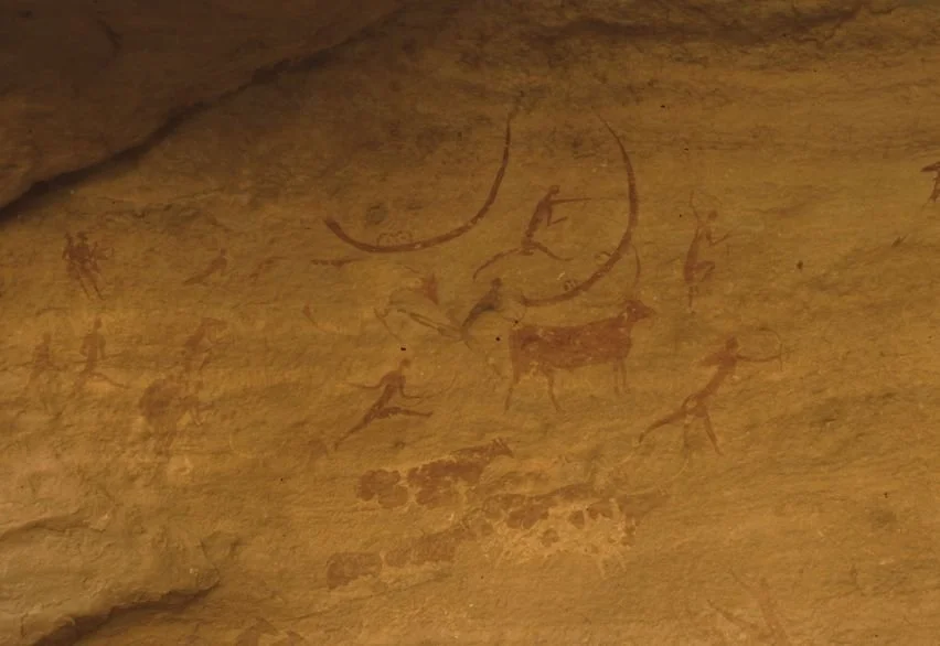
Investigating whether arrangements of stones in pastoral landscapes reflect seasonal observation, practical navigation, ceremonial activity, or other forms of environmental knowledge.
Introduction: Reading Time into the Landscape
Pastoral communities have long organized their activities around seasonal changes. The availability of grass, water, and shelter influences when animals move between grazing grounds, while temperature and precipitation shape the timing of breeding, migration, and other aspects of herd management.
In parts of Asia, landscapes used for pastoralism contain standing stones, stone rows, cairns, and other arrangements whose purposes may not be immediately clear. Some have been interpreted as markers of routes or territories; others have attracted suggestions that they helped people track the seasons or observe celestial movements.
These possibilities are intriguing, but a stone alignment does not become a calendar simply because it points toward a mountain peak or the horizon. Natural terrain, construction convenience, and later disturbance can produce alignments that appear meaningful from particular viewpoints.
To establish a seasonal function, researchers need evidence that the arrangement was deliberately designed or used to mark recurring temporal events. Archaeology can investigate this possibility through surveying, dating, landscape analysis, and comparison with the practical requirements of pastoral life.
Pastoral Landscapes and Seasonal Mobility
Pastoralism involves the management of domesticated animals that depend on available vegetation and water. In many environments, herders move animals between different grazing areas to take advantage of seasonal resources and reduce pressure on any one location.
The timing and route of these movements vary by region. High-altitude pastures may be usable only during warmer months, while lower elevations provide winter grazing. In arid areas, access to water may be the primary factor governing movement.
Stone markers could serve practical functions within such landscapes. They might identify routes, indicate boundaries, mark gathering places, or provide recognizable reference points in areas where vegetation changes seasonally.
However, pastoral systems are diverse, and the presence of stones near a grazing route does not establish that herders constructed them. Researchers must first determine whether the features are human-made, whether they are contemporary with pastoral use, and whether their distribution corresponds to known movement patterns.
How Stone Alignments Are Surveyed
A rigorous investigation begins with precise recording of the stones' positions, dimensions, orientations, and relationships to the surrounding terrain. Researchers may use total stations, satellite positioning, aerial photography, and three-dimensional modeling to document the arrangement.
The surrounding landscape must be analyzed as well. Investigators examine slopes, ridgelines, water sources, visibility, and possible travel routes. These factors can reveal whether an alignment is positioned in a way that would be useful for navigation or seasonal movement.
A key methodological challenge is distinguishing intentional alignment from coincidence. In a landscape containing many stones and possible viewing directions, some will inevitably align with peaks, sunrise positions, or distant landmarks by chance.
Researchers can address this problem by comparing the observed arrangement with plausible alternatives. Statistical and spatial models may estimate whether the alignment is more structured than would be expected under a random arrangement, although the results depend on assumptions about how stones could have been placed.
The analysis should be conducted before selecting the most appealing interpretation. Otherwise, investigators risk choosing a celestial or seasonal target after inspecting many possible alignments.
Testing the Seasonal Calendar Hypothesis
If an alignment is proposed as a seasonal marker, researchers must define what event it may have indicated. Possible targets include solstices, equinoxes, the appearance of a particular star, a seasonal sunrise, or a recurring environmental feature.
The next step is to reconstruct the relevant horizon as it existed during the period of construction. Atmospheric conditions, terrain changes, vegetation, and the movement of celestial bodies over long periods may affect the accuracy of modern observations.
Chronology is essential. An alignment that corresponds with a modern sunrise may not have pointed toward the same position at the time it was built. Researchers need a defensible date range before claiming a precise astronomical relationship.
Even a convincing alignment does not prove that people used it as a calendar. The direction may have had symbolic meaning, served as a route marker, or resulted from other design considerations. Independent evidence of repeated seasonal activity would strengthen the interpretation.
Environmental Knowledge Without Formal Astronomy
Pastoral communities can develop detailed environmental knowledge through observation and experience. Changes in vegetation, animal behavior, snow cover, water availability, and weather may signal the best time to move between grazing areas.
Such knowledge does not require stone monuments or formal astronomical systems. It may be transmitted through practice, oral instruction, and shared experience.
Archaeology can investigate the relationship between environmental knowledge and material features, but the absence of written records creates limits. A stone arrangement may have been part of a system of practical reference points without functioning as a calendar in the modern sense.
Researchers should therefore avoid assuming that an ancient community possessed either a formal astronomical science or an entirely informal system. The evidence may support a range of possibilities, and different communities could have combined environmental observation, inherited traditions, and celestial knowledge in distinct ways.
Cultural Meaning and the Danger of Overinterpretation
Stone alignments often attract speculative explanations because they are visually striking and can be difficult to date. Claims that they encode advanced astronomy or secret knowledge may circulate without adequate archaeological support.
A disciplined approach begins with the physical evidence and considers several hypotheses. Could the stones mark a route? Were they associated with burial or ceremonial activity? Do they define a boundary or gathering area? Is there evidence that they were modified over time?
The answers may remain uncertain, and that uncertainty is part of responsible archaeological interpretation. A site can be important even when its original purpose cannot be established.
Regional comparison is useful, but only when the sites being compared share relevant characteristics. Similar-looking arrangements in different parts of Asia may have been created by unrelated communities for entirely different reasons.
Conclusion: Timekeeping in a Living Landscape
Rock alignments in Asian pastoral landscapes provide an opportunity to investigate the relationship between movement, environmental knowledge, and monumental features. They may have helped people navigate terrain, mark routes, identify places, or organize activities around recurring seasonal conditions.
The claim that a particular alignment functioned as a seasonal calendar requires more than geometric resemblance. It needs secure chronology, careful spatial analysis, and evidence that the proposed function fits the broader archaeological context.
Whether or not a calendar interpretation is confirmed, the study of these features can reveal how people organized their relationship with the landscape. It also reminds researchers that seasonal knowledge is not always preserved in written documents or elaborate monuments; it can be embedded in routes, landmarks, and repeated patterns of movement across the land.