A Breakthrough in Ancient Script Decipherment
Linear Elamite, a cryptic script used in what is now modern-day Iran, has long been a puzzle for historians and archaeologists. With its origins dating back over 5,000 years, Linear Elamite represents a fascinating chapter in the history of writing systems. The recent efforts of a group of European academics, under the direction of the French archaeologist Francois Desset, have rekindled hopes of discovering the secrets hidden within this enigmatic script.
Just as Jean-François Champollion faced the challenge of deciphering Egyptian hieroglyphics with the help of the Rosetta Stone, scholars have struggled for decades to crack the Linear Elamite code. However, the breakthrough might finally be on the horizon, thanks to the meticulous work of Desset and his colleagues.
Their groundbreaking research, recently published in the journal Zeitschrift für Assyriologie und vorderasiatische Archäologie, hinges on the examination of ancient silver beakers. These artifacts provide a tantalizing glimpse into the world of Linear Elamite, offering a potential key to unlocking its mysteries. It is important to note that, while the findings are intriguing, they remain the subject of debate within the scholarly community.

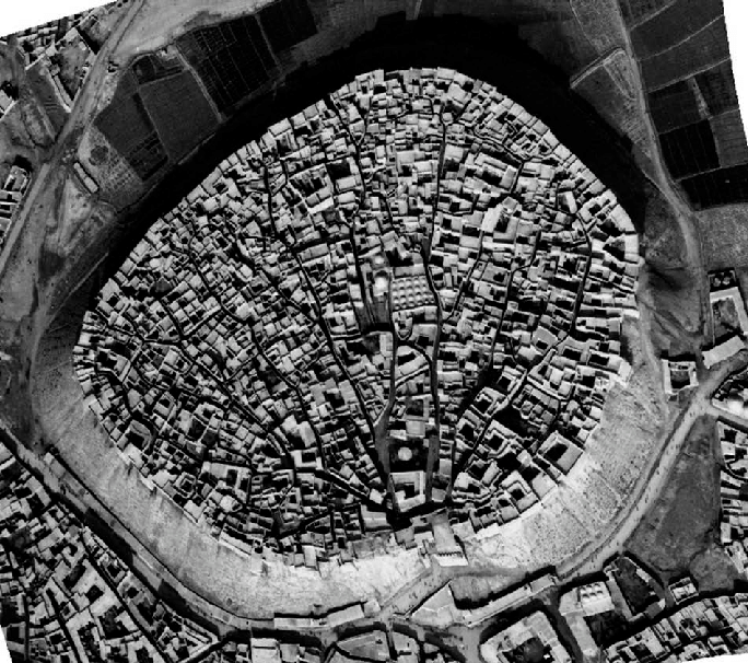
Chogha Zanbil, an ancient Elamite complex in the Khuzestan province of Iran Mehdi Zali.K via Wikimedia Commons under CC BY-SA 4.0
Linear Elamite's historical context is vital for understanding its significance. The script emerged in Susa, a thriving city on the fringes of Mesopotamia and the Iranian plateau. This urban society played a pivotal role in the dawn of civilization, engaging in trade with neighboring Mesopotamian kingdoms and the Indus River Valley civilization.
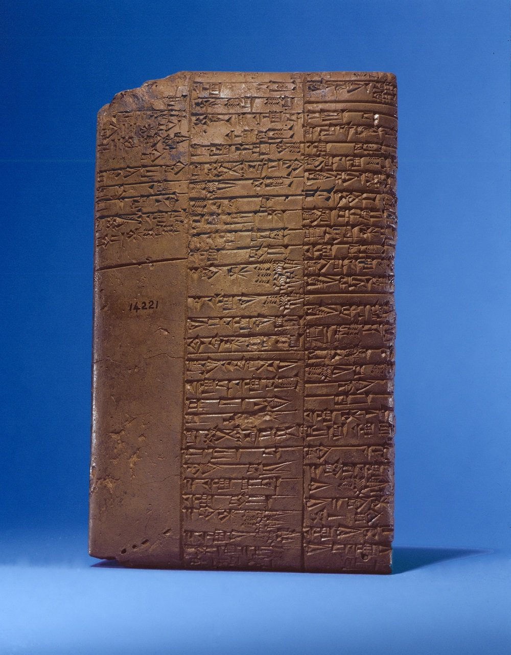
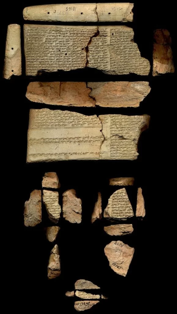
The Sumerians are renowned for developing the first known writing system, cuneiform, around 3100 B.C.E. Their wedge-shaped marks on clay tablets marked a pivotal moment in human history, enabling the recording of language, economy, religion, and governance. While Cuneiform thrived in Mesopotamia, Linear Elamite was a contemporaneous script in Susa, representing a distinct linguistic tradition.
Over the past century, Proto-Elamite inscriptions have numbered over 1,600, offering some insight into this ancient society. However, Linear Elamite inscriptions have been scarce, with only about 43 discovered scattered across Iran. Its sporadic use and eventual disappearance around 1800 B.C.E. have confounded scholars.

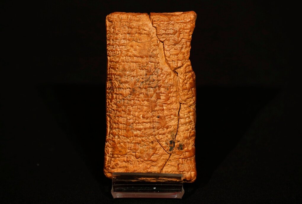
Perforated stone with Linear Elamite inscriptions, from the collections of the Louvre Public domain via Wikimedia Commons
Francois Desset's journey began with his access to a collection of silver vessels in London, believed to date back to around 2000 B.C.E. These vessels bore inscriptions in both cuneiform and Linear Elamite, providing a unique opportunity for decipherment. Metallurgical analysis confirmed their authenticity and age, dispelling doubts about their origin.
Desset's method of deciphering Linear Elamite rested on identifying repeated symbols that were likely proper names, including those of known Elamite kings. Through this meticulous process, he managed to decode 72 Linear Elamite symbols, representing over 96 percent of those known to scholars. However, it's important to note that translating the content of these inscriptions remains a complex endeavor, given the absence of known relatives for the Elamite language.
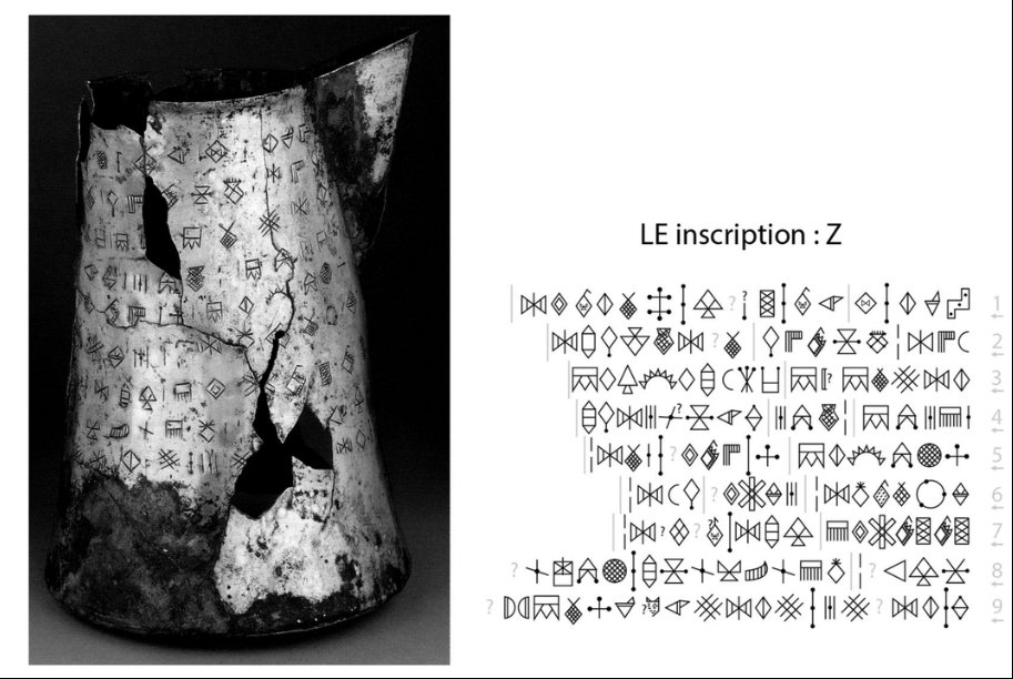
Linear Elamite inscriptions on a silver vessel Desset / Iran, 2018
The significance of Desset's work extends beyond mere script decipherment. He proposes that Linear Elamite employs a syllabic approach similar to modern alphabets, setting it apart from other ancient scripts. If this hypothesis holds true, it would make Linear Elamite the oldest known writing system to rely solely on syllables, predating the creation of the alphabet by Phoenician traders around 1100 B.C.E.
Furthermore, Desset's research challenges established beliefs about the relationship between Proto-Elamite and Linear Elamite. While some argue that Proto-Elamite is a mixture of syllables and logograms, Desset posits that it is the predecessor of Linear Elamite. This debate highlights the complexity of deciphering ancient scripts and the need for further research.

Grid of the 72 deciphered alpha-syllabic signs on which the transliteration system of Linear Elamite is based. The most common graphic variants are shown for each sign. Blue signs are attested in southwestern Iran, red ones in southeastern Iran. Black signs are common to both areas. F. Desset
Another intriguing claim by Desset suggests that Proto-Elamite and Sumerian cuneiform may have coexisted, challenging conventional timelines. This hypothesis, based on radiocarbon dating and archaeological findings, offers a fresh perspective on the evolution of writing systems in neighboring societies.
As we await further excavations in Iran to bridge the gap between Proto-Elamite and Linear Elamite, Francois Desset's work represents a significant step toward unraveling the mysteries of an ancient script that has confounded scholars for centuries. His dedication to deciphering Linear Elamite not only sheds light on a little-known society but also challenges our understanding of the development of writing itself.

Akkadian/cuneiform and Elamite/Linear Elamite inscription of King Puzur-Sushinak, from the collections of the Louvre Public domain via Wikimedia Commons
In the coming years, as more Linear Elamite texts are translated and additional archaeological evidence surfaces, we may witness a renaissance in our comprehension of this ancient script. The legacy of Linear Elamite, once shrouded in obscurity, may soon emerge as a testament to the enduring human quest for communication and understanding in the annals of history.