Introduction
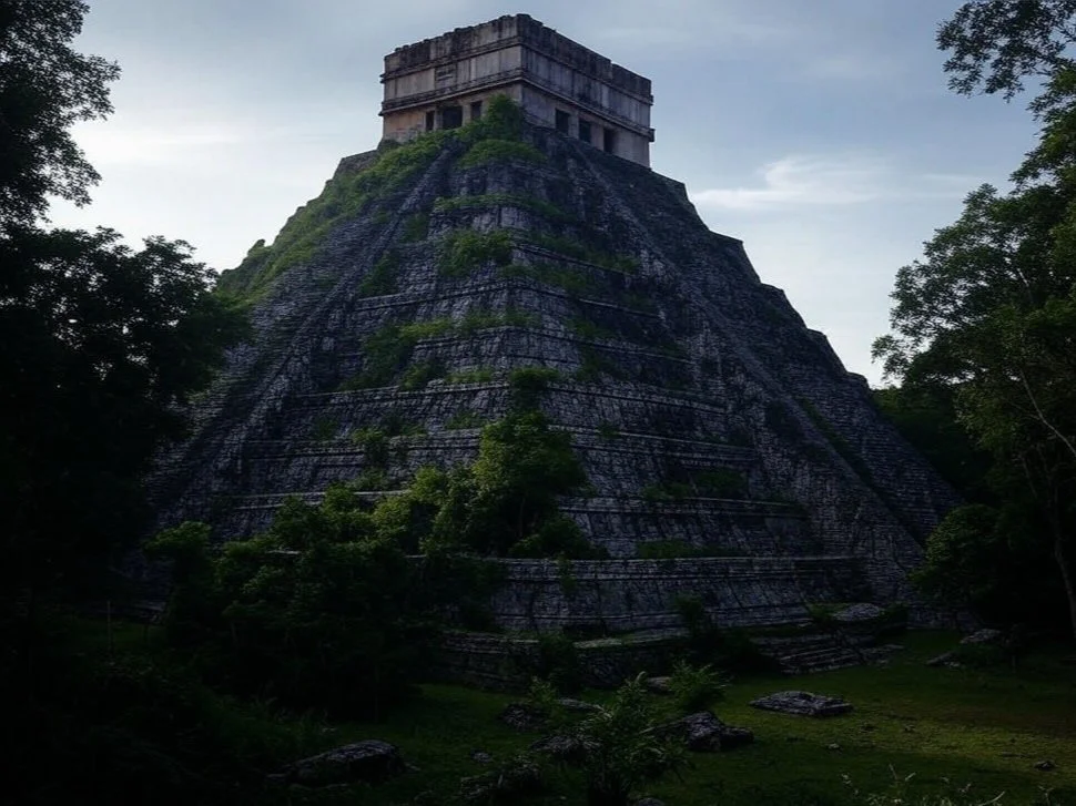
The Maya civilization, renowned for its remarkable achievements in architecture, mathematics, astronomy, and art, experienced a dramatic decline during the 8th and 9th centuries CE. This period, often referred to as the "Maya Collapse," saw the abandonment of major cities and a significant reduction in population and cultural activity. The causes of this decline are complex and multifaceted, involving environmental factors, warfare, and societal changes. This exploration delves into the potential causes behind the collapse of the Maya civilization, supported by archaeological findings.
Environmental Factors
Drought and Climate Change:
Paleoclimatic Evidence: Studies of lake sediments, stalagmites, and other natural archives indicate that the Maya region experienced severe droughts during the Terminal Classic period (800-1000 CE). These droughts likely disrupted agricultural productivity and water availability.
Impact on Agriculture: The Maya relied heavily on maize cultivation, which is sensitive to variations in rainfall. Prolonged droughts would have led to crop failures, food shortages, and famine, exacerbating social and political instability.
Deforestation and Soil Degradation:
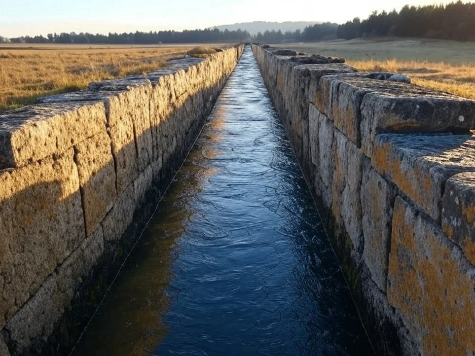
Agricultural Practices: Intensive agricultural practices, including slash-and-burn farming, led to widespread deforestation and soil erosion. The loss of forest cover reduced the region's ability to retain moisture, further exacerbating the effects of drought.
Urban Expansion: The construction of cities and infrastructure required large amounts of timber and other resources, contributing to environmental degradation. The depletion of natural resources would have undermined the sustainability of Maya urban centers.
Warfare and Political Instability
Increased Warfare:
Archaeological Evidence: The Terminal Classic period saw a marked increase in warfare, as evidenced by the proliferation of defensive structures, fortifications, and depictions of conflict in art and inscriptions.
Intercity Rivalries: Competition for dwindling resources and political power likely fueled conflicts between city-states. Warfare would have disrupted trade networks, caused population displacement, and strained social cohesion.
Political Fragmentation:
Collapse of Centralized Authority: The decline of major political centers, such as Tikal and Calakmul, led to the fragmentation of political authority. The loss of centralized control would have hindered coordinated responses to environmental and social challenges.
Elite Competition: Rivalries among the elite for control of resources and power may have further destabilized the political landscape, leading to the collapse of traditional governance structures.
Societal Changes
Population Pressure:
Overpopulation: The Maya population reached its peak during the Late Classic period, putting immense pressure on available resources. Overpopulation would have strained agricultural systems, water supplies, and social infrastructure.
Urban Decline: As resources became scarce, urban centers became increasingly unsustainable. The abandonment of cities and the migration of populations to rural areas or other regions would have contributed to the decline of urban civilization.
Cultural and Religious Shifts:
Erosion of Belief Systems: The inability of rulers and religious leaders to address the environmental and social crises may have led to a loss of faith in traditional belief systems. This erosion of cultural and religious authority could have undermined social cohesion and collective identity.
Adaptation and Resilience: Some Maya communities adapted to changing conditions by shifting to alternative subsistence strategies, such as increased reliance on fishing or hunting. However, these adaptations were insufficient to sustain the complexity of Maya urban civilization.
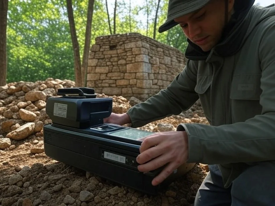
Archaeological Findings
Evidence of Drought:
Lake Sediments: Core samples from lakes such as Lake Chichancanab in Mexico reveal periods of severe drought coinciding with the Maya Collapse. These findings provide direct evidence of the environmental challenges faced by the Maya.
Stalagmite Records: Stalagmites from caves in Belize show variations in rainfall patterns, with significant dry periods during the Terminal Classic period. These records corroborate the hypothesis that drought played a critical role in the collapse.
Signs of Warfare:
Defensive Structures: The construction of walls, palisades, and other defensive features in cities like Dos Pilas and Aguateca indicates heightened levels of conflict and insecurity.
Mass Burials: The discovery of mass graves and evidence of violent deaths at sites such as Cancuén suggests that warfare and social unrest were widespread.
Urban Abandonment:
Epigraphic Evidence: Inscriptions on monuments and stelae often cease abruptly during the Terminal Classic period, indicating the collapse of political and administrative systems.
Artifact Analysis: The decline in the production and distribution of luxury goods, such as jade and obsidian, reflects the breakdown of trade networks and economic systems.
Conclusion
The collapse of the Maya civilization was a complex and multifaceted process, driven by a combination of environmental, political, and social factors. Severe droughts, deforestation, and soil degradation undermined agricultural productivity and resource availability, while increased warfare and political fragmentation disrupted social cohesion and governance. Population pressure and cultural shifts further compounded these challenges, leading to the abandonment of major cities and the decline of urban civilization. Archaeological findings continue to shed light on the causes and consequences of the Maya Collapse, offering valuable insights into the resilience and vulnerability of ancient societies. As we unravel the mystery of the Maya Collapse, we gain a deeper understanding of the intricate interplay between human societies and their environments, and the lessons they hold for contemporary challenges.