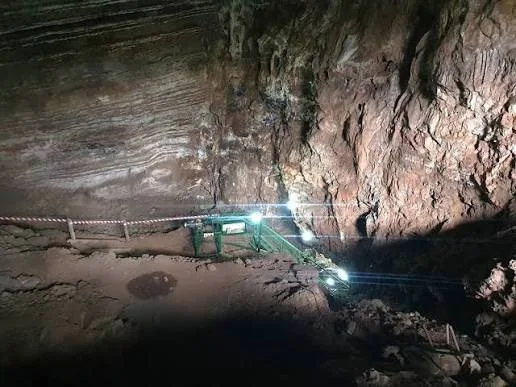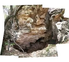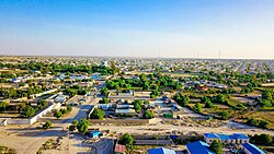
Erigavo, also known as Ceerigaabo, lies in the mountainous Sanaag region of Somaliland near the Golis Mountains.
Its elevated location created strategic advantages for communities living in the region.
The surrounding mountains provided:
defensive positions;
access to different ecological zones;
grazing areas;
and views across extensive territory.
The title “Mountain Forts” reflects the broader defensive architecture of the region, although individual structures and their dates must be distinguished carefully.
The Golis Mountains
The mountains of northern Somaliland create one of the most distinctive landscapes in the Horn of Africa.
Higher elevations generally receive different rainfall patterns from the surrounding lowlands.
This can create diverse ecological zones within relatively short distances.
Why Mountains Were Valuable
Mountain locations could provide:
defensive advantages;
cooler conditions;
access to springs;
and strategic observation points.
A settlement positioned on elevated terrain could see approaching groups from considerable distances.
Fortification in Somali History
Fortifications in the region could be built for several reasons.
They might protect:
settlements;
rulers;
livestock;
water sources;
or trade routes.
The presence of a defensive structure does not necessarily indicate a large centralized state.
Local communities could construct fortifications in response to regional conflict.
Stone Construction
Stone was abundant in many mountainous parts of Somaliland.
Builders could construct:
walls;
towers;
enclosures;
and defensive compounds.
Stone structures were durable but required considerable labor.
Political Competition
The Horn of Africa experienced competition between:
local clans;
sultanates;
religious movements;
and colonial forces.
Control of mountain passes and water sources could provide strategic advantages.
Caravan Routes
Mountain routes connected different ecological zones.
Travelers could move:
livestock;
salt;
hides;
food;
and imported goods.
A fortified position near a route could potentially monitor movement.
Colonial Expansion
During the late nineteenth and early twentieth centuries, European powers expanded their political control over the Horn of Africa.
British Somaliland administration increasingly reached inland areas.
Mountain communities experienced new forms of taxation, administration, and military pressure.
The Dervish Period
The Dervish movement also affected northern Somaliland.
Its conflict with British and Ethiopian forces transformed regional military geography.
Fortifications and elevated positions became strategically important.
Archaeological Challenges
Mountain ruins can be difficult to date.
A stone wall may have been:
built in one period;
repaired later;
abandoned;
and reused by another community.
Archaeologists therefore need:
pottery;
inscriptions;
stratigraphy;
historical records;
and architectural comparisons
to establish chronology.
Why Erigavo Matters
Erigavo provides an important setting for studying:
mountain settlement;
defensive architecture;
pastoralism;
trade routes;
and political change.
The region demonstrates how geography shaped human history.
Conclusion
The mountain landscape around Erigavo illustrates how communities in Somaliland adapted their settlements to rugged terrain.
Elevated positions could provide protection, visibility, access to different ecological resources, and control over routes.
The surviving fortifications and historic structures form part of a broader record of Somali political organization, pastoral economies, regional conflict, and colonial transformation.
Together, these sites demonstrate that the mountains of Somaliland were not peripheral to history—they were strategic landscapes at the center of it.