Before Modern Algiers: The Forgotten Forts and Empires That Controlled This North African Coast
The ancient and medieval history of Algiers is complicated because the region has been known by multiple names.
One of the most important ancient names associated with the area is Ikosim, later Romanized as Icosium.
Descriptions such as “Ikosimida” may refer to later or variant naming traditions, but the historical record must be handled carefully because ancient place names can become distorted through translation, transcription, and later historical writing.
The wider story, however, is clear.
The site of modern Algiers occupied an important position through successive periods of Phoenician, Punic, Roman, Byzantine, Islamic, Ottoman, French, and modern history.
Icosium and the Ancient Coast
The coastal location made settlement valuable.
Natural maritime access connected the region with Mediterranean trade routes.
Earlier populations participated in the commercial world of the Punic Mediterranean.
Roman expansion later incorporated the settlement into imperial territory.
Roman Icosium
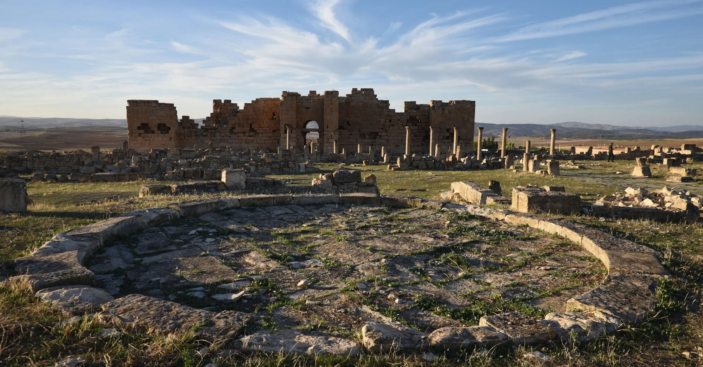
Under Roman control, Icosium became part of the administrative and urban network of North Africa.
Roman influence introduced:
Administrative structures.
Roads.
Public architecture.
Latin inscriptions.
New legal systems.
But Romanization did not erase local identity.
The population remained culturally diverse.
The Collapse of Western Roman Authority
By the fifth century, the western Roman political system was undergoing profound change.
North Africa came under the control of the Vandal Kingdom.
This transformed political structures but did not instantly destroy urban life.
Cities adapted.
Trade continued in altered forms.
Religious and political tensions persisted.
The Byzantine Reconquest
In the sixth century, Emperor Justinian launched campaigns to restore former Roman territories to imperial control.
Byzantine forces reconquered parts of North Africa.
Fortifications became especially important.
The Byzantine Empire inherited a landscape shaped by Roman urbanization but faced new military threats.
Defensive structures were repaired or constructed.
What Is a Byzantine Fortress?
A Byzantine fort was not necessarily a massive castle like those imagined from later medieval Europe.
It could involve:
Repaired Roman walls.
Compact defensive enclosures.
Towers.
Military garrisons.
Strategic coastal positions.
The goal was to maintain imperial authority in a politically unstable environment.
The Arrival of Islamic Rule
By the late seventh and early eighth centuries, Arab Muslim armies expanded across North Africa.
The Byzantine political presence gradually disappeared.
The region entered a new historical era.
Centuries later, the settlement associated with modern Algiers would emerge as a major Islamic and Mediterranean city.
Why the Ancient Layers Matter
Modern Algiers contains an extraordinary sequence of historical layers.
The challenge is that many are physically hidden.
Urban development can erase visible traces.
Archaeology therefore becomes essential.
A single excavated structure can change historians' understanding of the city's past.
The Fortress That Became a City
The history of Algiers demonstrates how strategic locations repeatedly attract settlement.
Different empires may disappear.
But geography remains.
The harbor remains useful.
The coastline remains strategically important.
A Roman town can become a Byzantine defensive location.
A Byzantine landscape can become part of the Islamic Maghreb.
And eventually, a modern capital rises above all of them.
61. Oued Athmen: Algeria's Little-Known Landscape of Ancient Rock Art
The Ancient Images Hidden on Algeria's Rocks: Who Created Them and Why?
Across North Africa, ancient rock art provides one of the most important records of prehistoric life.
In areas associated with Oued Athmen and other Algerian landscapes, researchers have documented carvings, markings, and artistic traditions that may preserve evidence of ancient communities.
However, individual rock-art sites require careful archaeological identification and dating. Popular lists can sometimes attach broad labels to poorly documented locations, making it essential to distinguish between securely studied sites and generalized descriptions.
The wider story of Algerian rock art is nevertheless extraordinary.
It reveals that landscapes now associated with dry environments were once inhabited by communities whose lives depended on hunting, herding, water sources, and changing climates.
What Is Rock Art?
Rock art includes two major categories.
Petroglyphs are images created by carving, pecking, incising, or abrading rock surfaces.
Pictographs are painted images applied to stone.
The distinction matters because the techniques differ.
A carved image may survive differently from a painted one.
The Problem of Dating Rock Art
Dating ancient images is difficult.
Stone itself cannot simply be radiocarbon dated.
Researchers instead examine:
Archaeological context.
Superimposed images.
Weathering.
Associated organic materials.
Artistic style.
Depicted animals.
For example, an image of an animal no longer present in the Sahara may provide clues about the environmental conditions under which it was created.
But caution is essential.
Style alone rarely provides an exact date.
Ancient Climate Change
One of the most important lessons of North African rock art is that the Sahara has not always looked as it does today.
During periods sometimes referred to as the African Humid Period, large areas of what are now deserts received significantly more rainfall.
Grasslands and lakes existed.
Animal populations were different.
Human communities occupied regions that are now extremely arid.
Rock art preserves visual evidence of this lost environment.
Hunters, Herders, and Artists
The images found across Algeria and the Sahara may depict:
Wild animals.
Domestic cattle.
Hunters.
Human figures.
Weapons.
Ritual scenes.
Geometric symbols.
These changes can help archaeologists trace transformations in human society.
A region dominated by hunting imagery may later display evidence of pastoralism.
The art becomes a visual record of economic change.
Why Oued Athmen Matters
Even lesser-known rock-art landscapes are important because they expand the geographical record of prehistoric North Africa.
The history of ancient Algeria was not limited to the Mediterranean coast.
Human communities occupied valleys, mountains, and desert margins.
The challenge today is ensuring that poorly documented sites are studied rather than sensationalized.
Every authentic engraving may preserve information about a prehistoric community that left no written history.