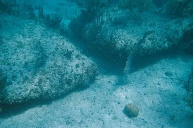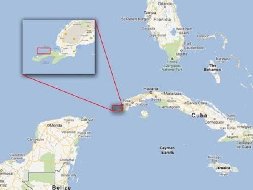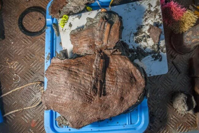
In the submerged ruins of Thônis-Heracleion, an ancient city in Egypt’s Abū Qīr Bay, researchers have uncovered wicker baskets from the fourth century B.C.E. that still contain fruit. The baskets, remarkably preserved, hold doum nuts—fruits from an African palm tree sacred to the ancient Egyptians—and grape seeds.
Marine archaeologist Franck Goddio, speaking with Dalya Alberge of the Guardian, described the discovery as “striking,” noting how undisturbed the baskets were despite their age. Goddio and his team from the European Institute for Underwater Archaeology (IEASM) collaborated with Egypt’s Ministry of Tourism and Antiquities in this ongoing exploration of Thônis-Heracleion, a project that began in 2001 when the lost city was rediscovered.
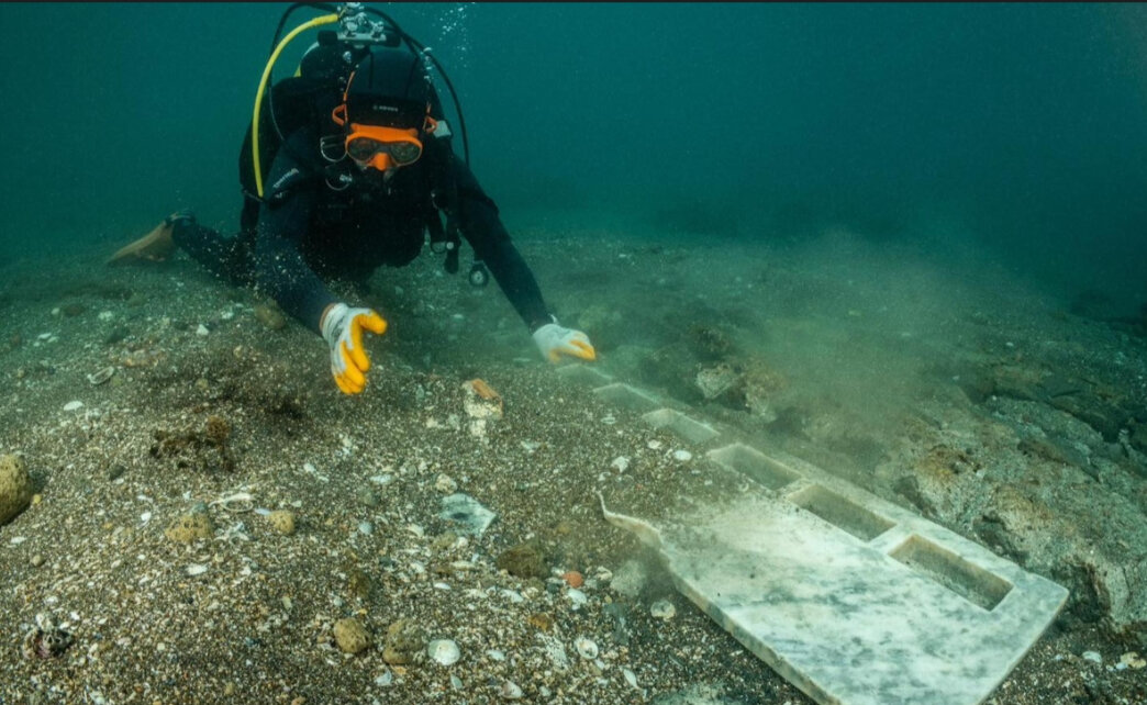
The baskets were found in an underground chamber, possibly left as funerary offerings. Nearby, researchers identified a large burial mound, measuring 197 by 26 feet, surrounded by an assortment of Greek funerary artifacts. These items were likely left by Greek merchants and mercenaries who lived in the area. Evidence of burned materials in the vicinity suggests that grand ceremonies may have taken place there, and the site appears to have been sealed since the early fourth century B.C.E., despite the city’s continued existence for centuries afterward.
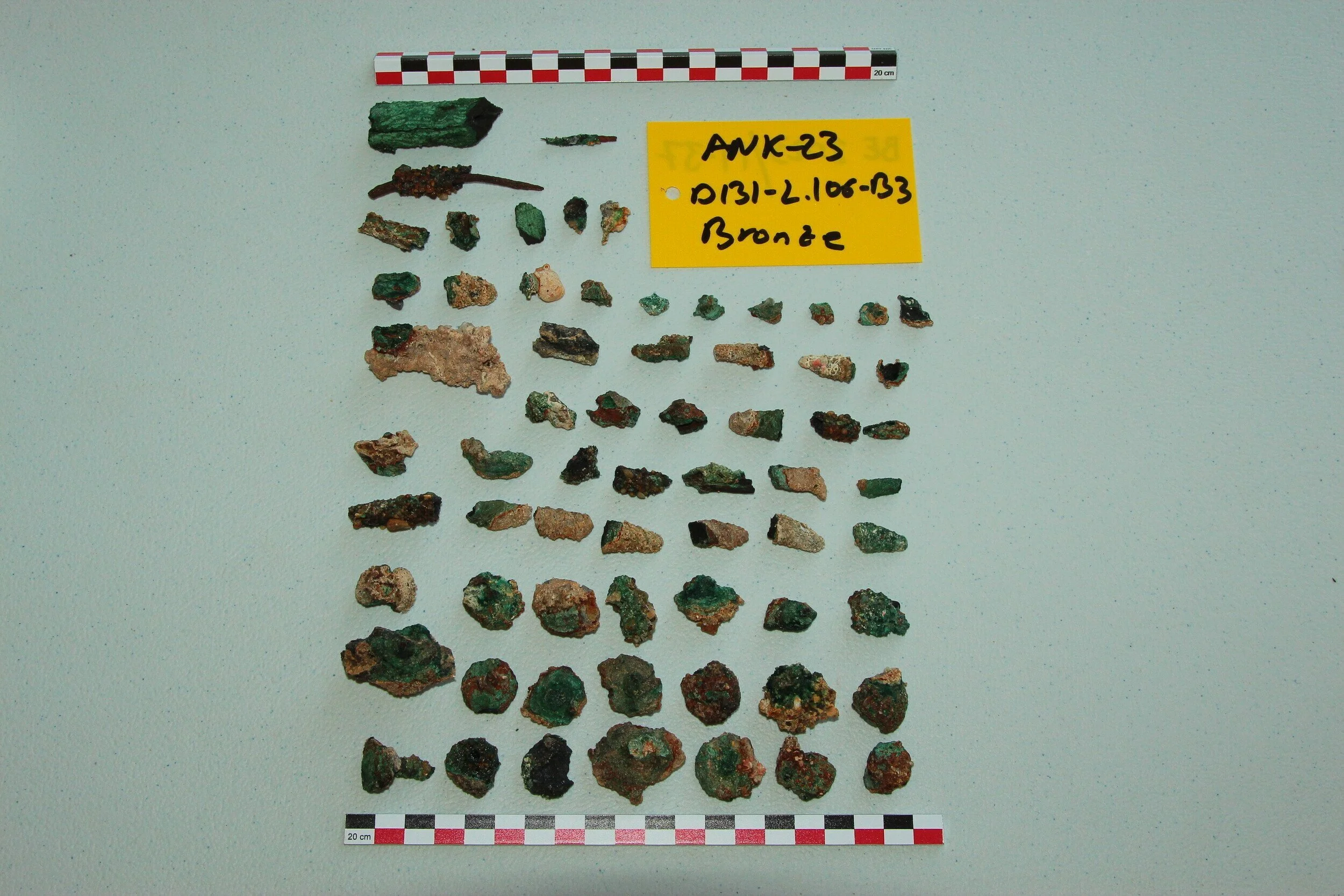
Among the other finds were ancient pottery, bronze artifacts, and figurines of the Egyptian god Osiris. Goddio described how they uncovered hundreds of ceramic deposits, stacked one on top of the other, many of which were imported and featured red-on-black figures.
Thônis-Heracleion, established around the eighth century B.C.E., served as Egypt's main entry port for ships arriving from Greece before the founding of Alexandria in 331 B.C.E. The city thrived between the sixth and fourth centuries B.C.E., with a central temple surrounded by buildings and a network of canals. Homes and other religious sites were built on islands near the city's center.
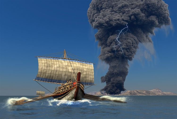
The once-vibrant hub of maritime trade met its demise in the eighth century C.E. when it sank into the Mediterranean. Theories about its collapse vary, with some attributing it to rising sea levels and unstable sediment, while others suggest that earthquakes and tidal waves caused a significant portion of the Nile Delta to submerge, as reported by Reg Little for Oxford Mail in 2015.
In the early 2000s, researchers confirmed that Thônis and Heracleion—once thought to be separate cities mentioned by Greek historian Herodotus—were actually the same place. This conclusion was reached after the discovery of an inscription by Goddio’s team in 2001.
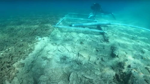
Excavating artifacts from Thônis-Heracleion is challenging due to the thick layers of sediment that have protected them for centuries. Goddio has emphasized the importance of learning as much as possible without causing unnecessary damage during the excavation process.
Previous discoveries at the site include over 700 ancient anchors, gold coins, weights, and numerous tiny limestone sarcophagi containing mummified animals. Recently, archaeologists also found a well-preserved military vessel from the second century B.C.E. in another part of the city.
Goddio estimates that only about 3 percent of Thônis-Heracleion has been explored since its rediscovery 20 years ago, suggesting that many more treasures may still lie hidden beneath the waves.