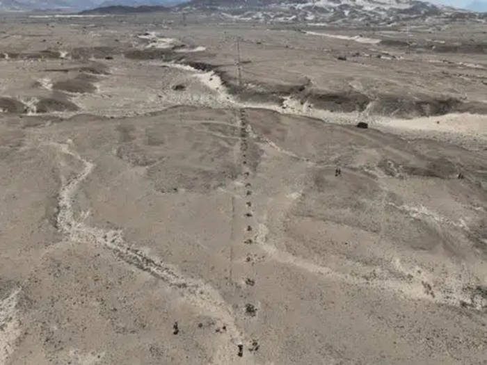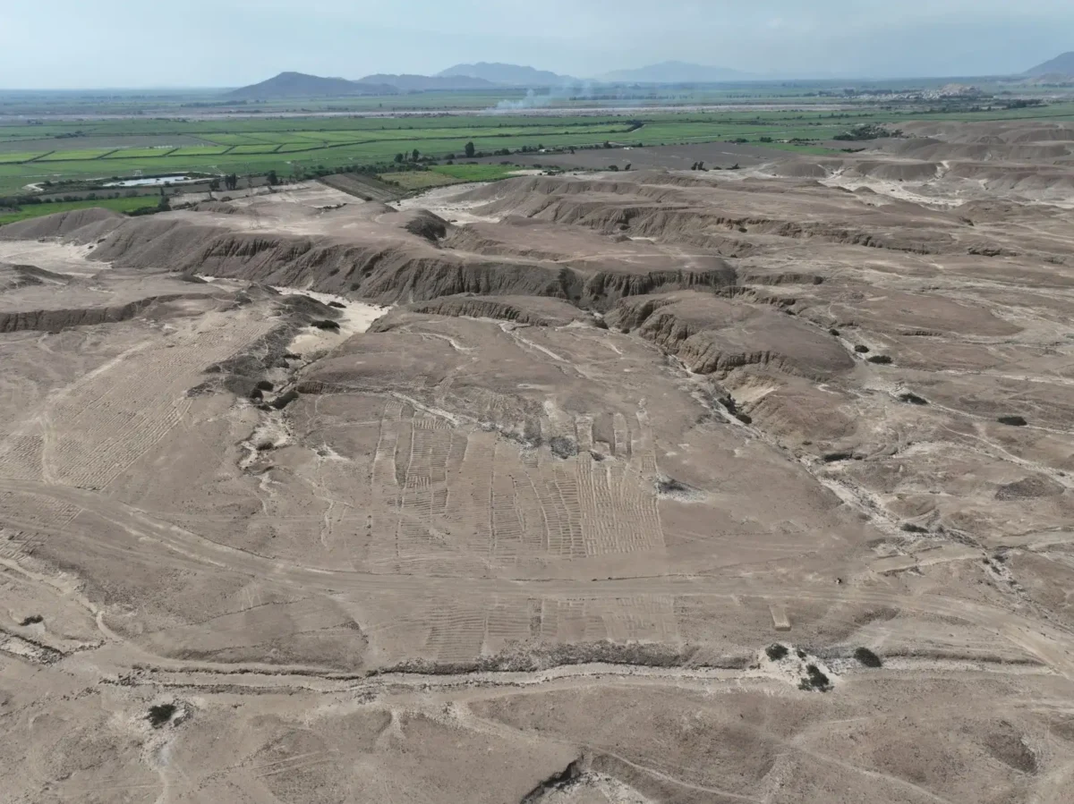
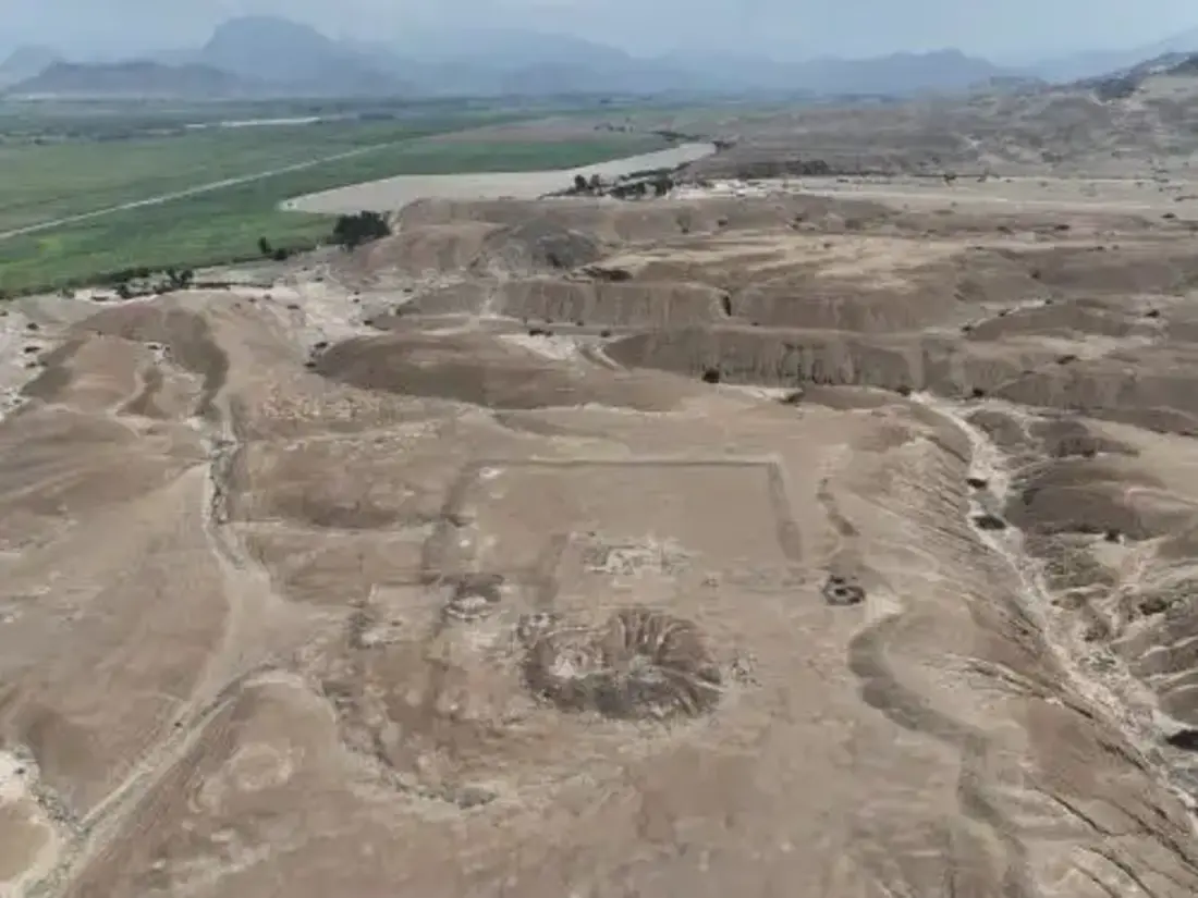
Archaeologists working in Peru’s Chicama Valley have uncovered what may be one of the most revealing Chimú cultural landscapes identified in recent years: a two-kilometer “Sacred Road” geoglyph, a monumental temple platform, and more than 100 hectares of agricultural fields forming a single, integrated complex dating to roughly AD 1100–1470.
The discovery, announced by the Chicama Archaeological Program and reported by Agencia Andina, reshapes how scholars understand territorial organization under the Chimú state. Rather than isolated ceremonial or farming zones, the evidence suggests a deliberately engineered landscape where agriculture, ritual practice, and political authority operated together as one system.
A Ritual Road Across the Desert
At the heart of the find is a two-kilometer geoglyph interpreted as a camino ritual — a ceremonial road constructed from aligned stone accumulations. The feature runs in an exceptionally straight line, crossing ancient ravines while maintaining a constant orientation, which signals careful planning rather than casual construction.
The road appears to link the fortified settlement of Cerro Lescano with large agricultural zones and continues toward Cerro Tres Cruces. According to archaeologist Henry Tantaleán, co-director of the Chicama Archaeological Program, this represents the clearest known example of a Chimú settlement physically connected to major landscape features through a formalized ceremonial corridor.
While Peru is world-famous for the Nazca Lines in the south, this discovery highlights that large-scale geoglyph traditions were also active on the north coast. In this case, the linear monument may have structured sacred movement across the terrain, linking settlements, cultivated land, and mountains into a symbolic network.
Tantaleán suggests that Cerro Lescano and Cerro Tres Cruces may have functioned as local apus — sacred mountain beings in Andean cosmology. If so, the “Sacred Road” was more than infrastructure. It likely served as a ceremonial axis, embedding agricultural production within a sacred geography and reinforcing the Chimú state’s authority over both land and belief.
It’s honestly such a powerful idea: farming wasn’t just economic activity — it was woven directly into ritual space. The land wasn’t divided into “sacred” and “practical.” It was all part of one intentional design.
Peruvian archaeologists discovered a new geoglyph and a temple in the Chicama Valley, La Libertad, and also documented an extensive agricultural and ceremonial complex, all built by the Chimú society.
Technology and Emergency Archaeology
Although the area had been observed decades ago by researchers such as James Kus and Richard Keatinge in the 1970s and 1980s, today’s team used drone-based digital mapping to document the sector in far greater detail and resolution.
Recent international reporting, including coverage by Ancient Origins, has stressed the urgency of the project. Expanding private land use, high-tension power towers, service roads, and agricultural development are already affecting portions of the fields and the geoglyph. Archaeologists describe their work as emergency archaeology — an effort to record and analyze fragile features before they are permanently altered or destroyed.
Rethinking Chimú Statecraft
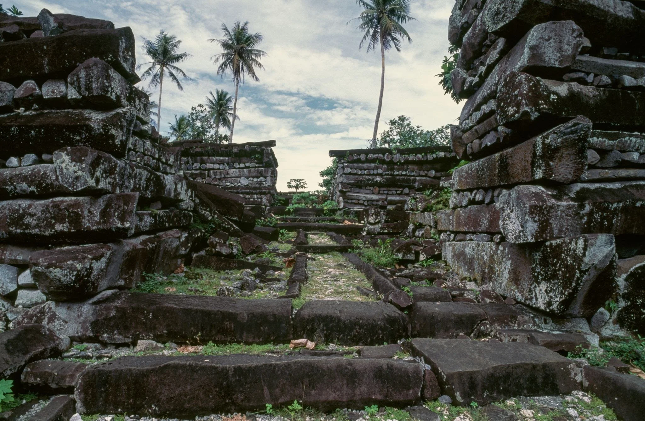
The findings in the Chicama Valley add to growing evidence of the sophisticated territorial strategies employed by the Chimú on Peru’s north coast. Best known for their adobe capital at Chan Chan and their advanced irrigation systems, the Chimú built one of the largest pre-Columbian states in South America before the rise of the Inca.
What sets the Chicama complex apart is the clear physical integration of ceremonial architecture within a vast agricultural network. The layout suggests that political authority was not separate from daily production — it was embedded directly into the working landscape.
By connecting fortified settlements, sacred hills, irrigated farmland, and temple structures through a two-kilometer geoglyph, the Chimú effectively inscribed ideology onto the terrain itself. Power was not only administered — it was spatially designed.
As further analysis and documentation continue, Chicama may become central to understanding how pre-Hispanic Andean societies merged religious belief, hydraulic engineering, and agricultural expansion into a unified political system — one written across the desert as clearly as in adobe walls or ceramics.