We found the flint scraper on the cliff top on the first day of the excavation. A small grey object, carefully chipped to form a sharp edge. It was exactly what we were looking for: something made about 4,000 years ago, but in danger of being lost—tumbling down the steep slope into the crashing waves far below.
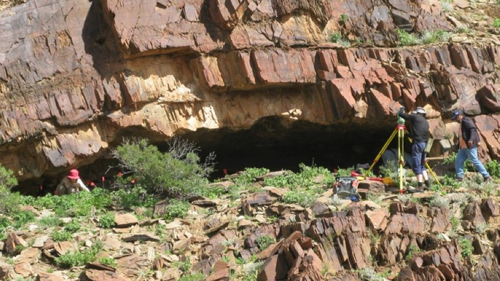
There is a line of four Bronze Age burial mounds on Golden Cap, each spaced 3–4 m apart and measuring 12–15 m in diameter. Only about 50 percent of the most westerly barrow survives, as the action of the waves on the soft geology is undermining the cliff, causing the archaeology to collapse into the sea.
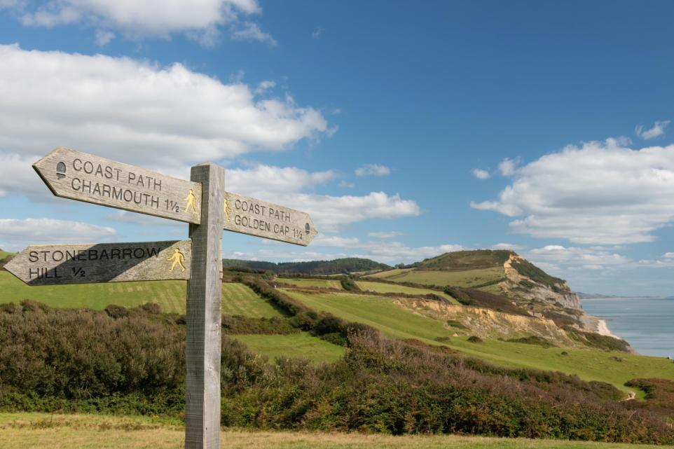
At 190 m above sea level, on a clear day, this is a wonderful place to work. After a steep climb, the top is almost level, with just the gentle undulations of the earthworks to negotiate. Focusing on the excavation, concentrating on changes in soil colour and texture, the occasional glance outward to take in our surroundings was a delight. To the west, the sweep of Lyme Bay stretches as far as Devon’s Start Point; below us to the east, the cliffs rise and fall toward Chesil Beach, with the axe-head profile of Portland forming the distant horizon.
We had, however, miscalculated the time our excavation would take—a common mistake. The intricacies of what lies beneath are, by their very nature, hidden. Digging time is difficult to estimate without test pitting in advance, which I had not done.
These were low mounds, less than a metre high. And we were only excavating a section across the barrow at the cliff edge; we assumed the sand would be soft and compliant.
It was the summer of 1992, and our team consisted of National Trust working holiday volunteers, staying for the fortnight at the ‘Base Camp,’ a converted radar station at Stonebarrow near Charmouth, just along the coast to the west.
Our immediate find of that Bronze Age tool warned us to proceed carefully. We began by clearing the vegetation from the mound and trowelling back. When a circular black charcoal patch was encountered, we imagined we had found a prehistoric hearth. In true archaeological style, we marked it out with string and excavated one half to see the feature in section.
Instead of ancient fire remains, we found the silver paper from a chocolate bar, and below that, fragments of pottery and brick began to emerge from the soil—mainly pieces from earthenware bowls or blue-and-white glazed teacups. Not Bronze Age at all.
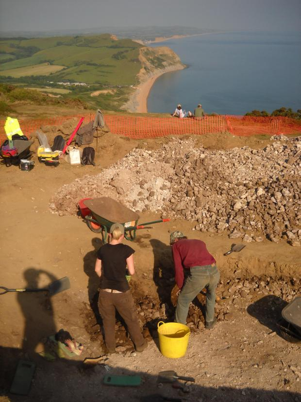
The view east from the Golden Cap dig looking towards Portland
As we dug deeper, layers of golden-yellow sand emerged, followed by seams of chert rubble stones. More soil was excavated, and the spoil heap beside the trench grew steadily higher.
Gradually, we began to realise what had happened. These barrows had not simply been worn down over thousands of years; they had become buried as coastal erosion pushed them closer to the cliff edge. The south-westerly winds had swept sand from the cliff face and deposited it over Golden Cap’s summit, gradually hiding the mounds as surface features.
At the start of the second week, we reached a surface of chert rubble. It was a platform levelled out of the mound, with a few bricks placed around the edge amid rotten bone, remnants of meat joints, and more fragments of pottery.
We photographed the platform, made a scale plan, and dug a trench through the pile of stones. Below the platform, there was no pottery at all—nothing. Shifting bucket loads of flinty chert rubble was hard work; the pile was over half a metre deep, the remains of a cairn of stones.
On the final day of the dig, the stones peeled away to reveal a buried soil layer rich with charcoal. A mist descended on the hill, rain fell, and visibility shrank to a few metres, making the conditions difficult. I propped up a large umbrella for shelter and drew the feature we had uncovered. Soil samples were collected, tools packed away, and we marveled at what we had found.
The next step was to consult the archives of the Dorset History Centre to uncover what had been happening on this isolated hilltop. The pottery indicated a late 18th- to early 19th-century date. Who had been living here at that time?
The answer was quickly found on the 1811 Ordnance Survey map: our site was marked as ‘Golden Cap Signal’.
It turned out the pottery and bricks dated to the Napoleonic Wars. In 1794, a system of coastal signal stations had been established to enable messages to be quickly transmitted along the coast to London. Their primary purpose was to give warning of a possible French invasion—a very real threat at the time.
Each station consisted of a signalling house and a mast described as “50 ft long, a cross staff, a red flag, a blue pennant, and balls 3 ft 4 inches in diameter with hoops covered in canvas and painted black.” The flags and canvas balls could be arranged on the mast and cross staff to send coded messages. At night, fuel for a beacon was kept ready to enable a signal to be sent after sunset.
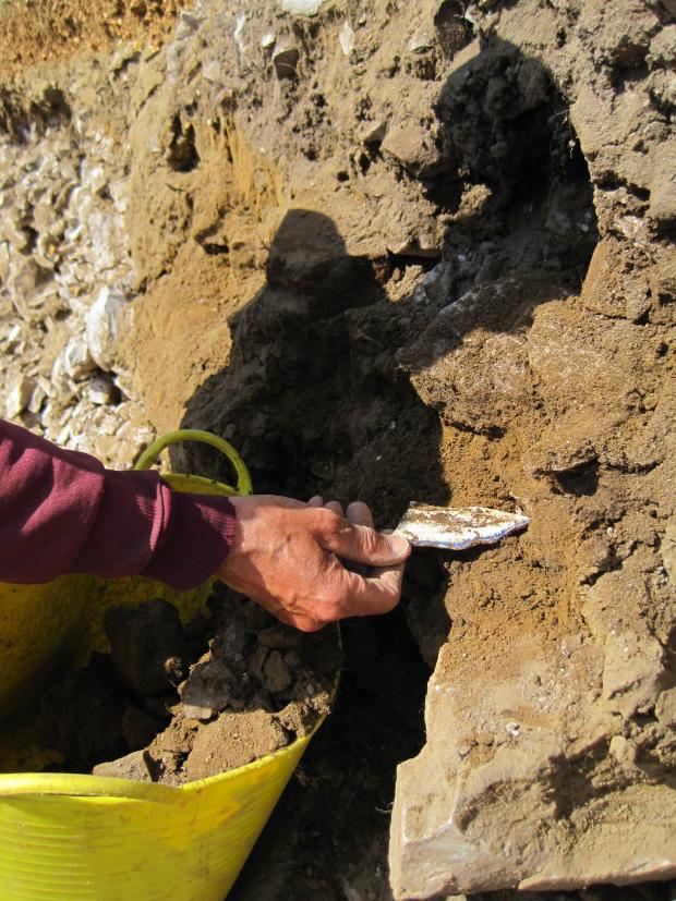
Early 19th century saucer fragment from the Golden Cap Napoleonice signal station, built on the Bronze Age barrow cemetery
As we delved further into the records, we realised there was a more personal story attached to this abandoned naval outpost, built into a Bronze Age barrow cemetery. Each signal station was manned by a lieutenant, a petty officer, and two men. The house consisted of a two-room wooden building with a canvas roof, equipped with heating, tables, and chairs. Golden Cap’s signal was in operation from 1796 to 1814. A letter ordering 29-year-old Lieutenant John Twisden to take up his post at Golden Cap was discovered at the Kew Record Office.
Lt. Twisden’s life story alone could fill a book. His father, William, had been disinherited from a baronetcy in Bradbourne, Kent, because his family disapproved of his marriage to a Portsmouth girl. John’s parents both died when he was four, after which he was cared for by his mother’s family until the age of 12. He then joined the crew of HMS Victory, sailing to the West Indies. John married Ann Hammond in 1791, and they had 13 children—seven of whom were born while he was stationed at Golden Cap. Four were baptised at the parish church in Chideock, and three at Stanton St Gabriel Church, now a ruin on the west side of Golden Cap.
It is almost impossible to imagine the whole family living in the cramped signal station, especially during winter gales, but the parish records demonstrate that they must have lived nearby.
John retired from the navy when the station closed in 1814. From 1815, he worked for the Great Western Canal Company. In 1841, upon the death of a cousin, he reclaimed his birthright. By the 1851 census, he had returned to Bradbourne House, Kent, at the head of the family.
Yet the primary purpose of our excavation remained the archaeology of the Bronze Age burial mound, threatened by the encroaching sea. Our finds were modest: a flint tool, a handful of charcoal, and a couple of soil samples. The charcoal provided a construction date for the barrow cairn—2100–1900 BC. The soil, collected from beneath the cairn and between the stones, contained pollen from plants that grew both before and after the mound was built.
Before construction, the area had been covered in oak woodland. The trees were cleared to make way for the cairns, and the land became open grassland. Pollen samples from 4,000 years ago indicate no plants suggesting a coastal habitat; at that time, Golden Cap was at least 2 km inland. All that land has since been lost to the sea.
If these were indeed burial mounds, then where were the bodies? Neither in 1992 nor on our return in 2011 did we find any trace—no cremations, no grave goods, just charcoal, soil, and a few scattered flints.