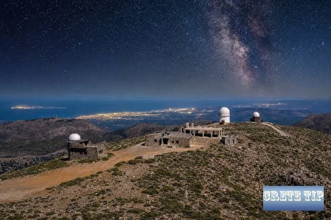
The archaeological topography of Bronze Age Crete is being fundamentally remapped. Throughout the Middle and Late Minoan periods, the rugged mountain ridges of the island were crowned with peak sanctuaries—sacred, open-air enclosures where civic communities gathered to interact with the divine. For more than a century, investigating these high-altitude sites meant enduring grueling, multi-day mountain ascents, with teams limited to what they could carry on foot. In 2026, a revolutionary shift occurred. Armed with custom-engineered autonomous drones carrying an array of advanced sensors, archaeological teams are conducting non-invasive aerial sweeps over Crete’s most hostile terrains.
The primary technological drivers of this initiative are drone-mounted Light Detection and Ranging (LiDAR) and multi-band thermal sensors. These devices pulse laser light down through the dense, wind-stunted garigue and maquis scrub that covers the Cretan ridges. By measuring the flight time of millions of individual laser pulses, a computational system builds a high-density, three-dimensional point cloud of the underlying terrain. This lets researchers digitally peel back layers of vegetation, exposing hidden architectural features down to a centimeter scale.
The initial data reveals that these peak sanctuaries were much more structurally complex than previously assumed. Rather than simple, flat rock clearings, the drone scans show a series of carefully planned terraces, subterranean storage clefts, and large boundary walls (periboloi) designed to manage the flow of ancient crowds. On remote summits in the Dikti and Asterousia ranges, the surveys have pinpointed previously unrecorded rectangular foundations that likely served as priestly quarters or secure treasuries for valuable votive offerings.
Beyond locating isolated structures, this aerial work has provided an empirical map of how these shrines functioned as an integrated network. By feeding the 3D terrain models into geographic information systems (GIS), researchers can execute highly precise "Viewshed Analyses." The results show that peak sanctuaries were positioned using a meticulous logic of inter-visibility. A fire lit on one peak would be directly visible to a chain of neighboring sanctuaries and, critically, to the lowland palatial centers below, such as Knossos, Malia, and Phaistos.
This suggests that the mountains functioned as a massive, island-wide signaling and ritual apparatus. When a crisis or celebration occurred, coordinated smoke or fire signals could transmit messages across the island within minutes. The 2026 surveys are shifting our view of Minoan religion away from isolated nature worship toward a tightly organized state network designed to project palatial authority into the absolute margins of the Cretan landscape.