Ancient Seafaring: The Polynesian Colonization of the Pacific Islands
The Polynesian migration across the Pacific is widely regarded as one of the greatest feats of maritime exploration and human endurance in history. Between 3000 BCE and 1200 CE, Austronesian-speaking people ventured from Southeast Asia into the "vast blue continent," eventually settling a triangle of islands spanning from Hawaii in the north to Easter Island (Rapa Nui) in the east and New Zealand (Aotearoa) in the southwest.
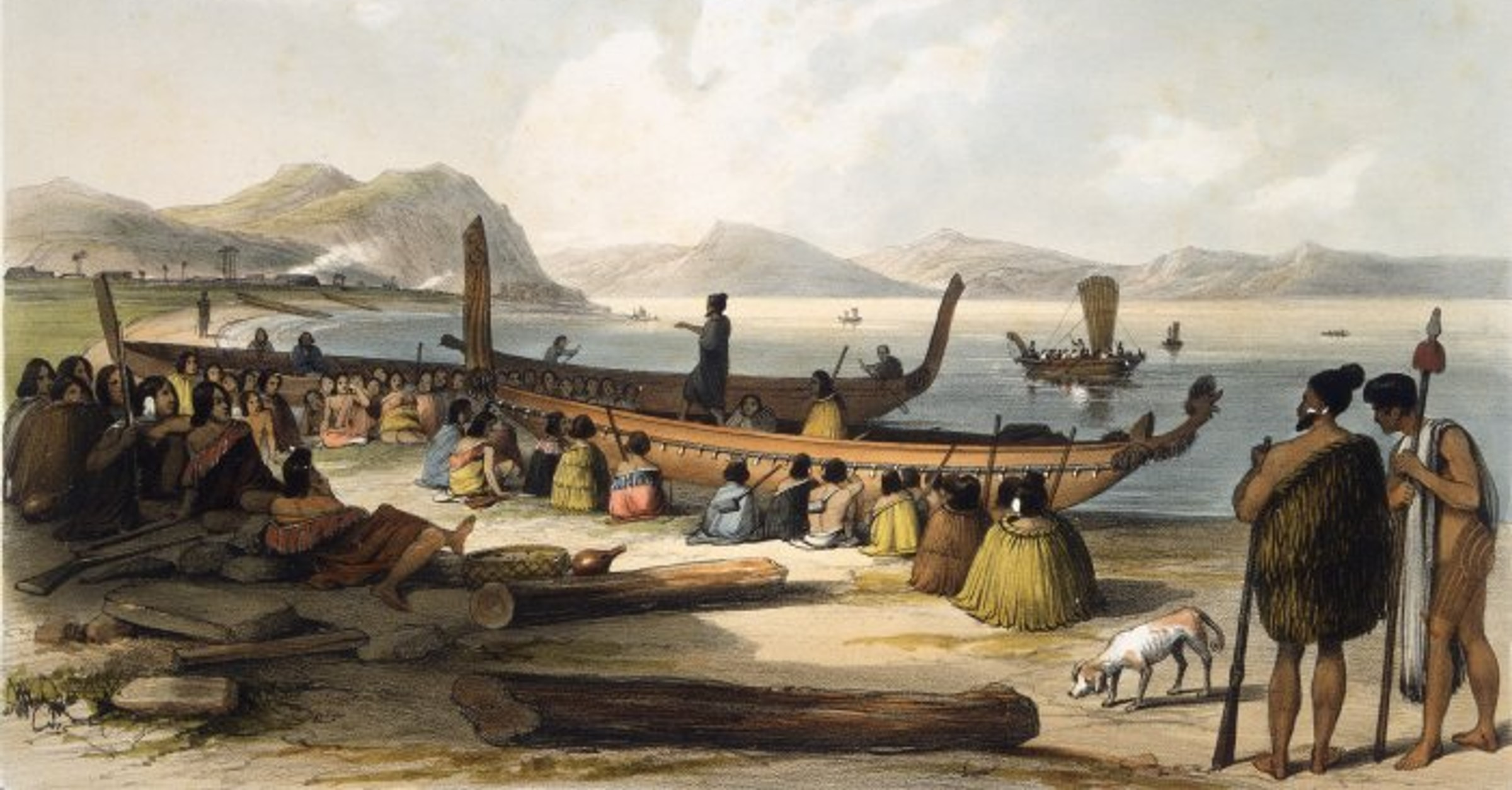
1. The Vessels: The Double-Hulled Canoe (Wa’a Kaulua)
The backbone of Polynesian expansion was the double-hulled voyaging canoe. These were not primitive rafts but highly engineered vessels capable of carrying dozens of people, livestock, and crops over thousands of miles of open ocean.
Stability and Speed: By lashing two hulls together with a wooden platform in between, the Polynesians created a stable craft that could resist capsizing in heavy swells while maintaining significant speed.
The Crab-Claw Sail: These canoes used a distinctive triangular sail made of woven pandanus leaves. This design allowed the vessels to "tack" (sail at an angle into the wind), a crucial capability for exploring eastward against the prevailing trade winds.
Stitched Construction: The hulls were made of hollowed-out logs or planks "stitched" together with cordage made from coconut husks (sennit) and sealed with tree resin. This allowed the ship to flex with the waves rather than snap under pressure.
2. The Wayfinders: Non-Instrument Navigation
Perhaps the most staggering aspect of this colonization is that it was achieved without compasses, sextants, or chronometers. Instead, "Wayfinders" used a sophisticated system of environmental observation passed down through oral tradition.
The Star Compass: Navigators memorized the rising and setting points of hundreds of stars. Because stars rise and set at specific points on the horizon relative to the observer's latitude, they served as a reliable, permanent map of the sky.
Ocean Swells: Even on overcast nights, a master navigator could feel the direction of the canoe by the "texture" of the ocean. They could distinguish between the primary trade wind swells and the subtle "refracted" waves bouncing off distant, invisible islands.
Bird Flight and Clouds: The sighting of certain birds, like the White Tern or Frigatebird, signaled that land was within 50–100 miles. Furthermore, a greenish tint on the underside of a cloud often indicated the reflection of a shallow lagoon just over the horizon.
3. The "Lapita" Origins and the Long Pause
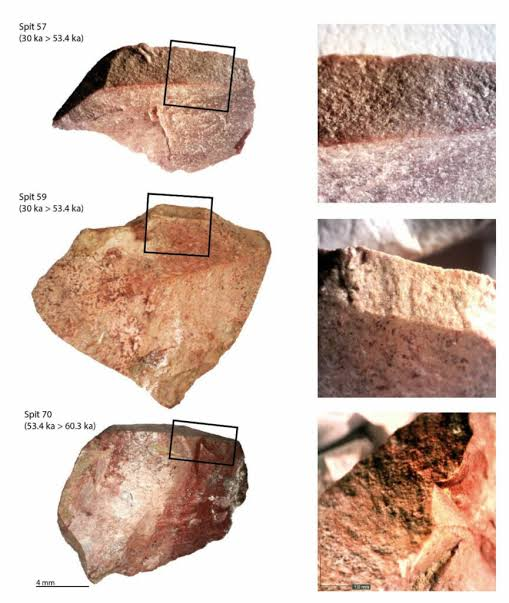
Archaeologists track the early movement of these people through a specific type of decorated earthenware known as Lapita pottery.
The Trail of Shards: Distinctive geometric patterns found on pottery shards have allowed researchers to map the migration from the Bismarck Archipelago (near Papua New Guinea) through Vanuatu, Fiji, and Samoa by roughly 1000 BCE.
The Long Pause: Curiously, after reaching Samoa and Tonga, the migration stopped for nearly 1,000 to 2,000 years. The cause of this "Long Pause" is one of archaeology's great mysteries. Some suggest it was due to a shift in wind patterns (El Niño cycles), while others believe it took time to develop the more advanced double-hulled technology needed for the massive distances of the deep Pacific.
4. The "Transported Landscapes"
The Polynesians didn't just find islands; they transformed them. They practiced a strategy known as "transported landscapes," bringing an entire ecosystem with them on their canoes.
Crops: They introduced taro, yams, breadfruit, bananas, and sweet potatoes (kumara) to the islands.
Livestock: Pigs, dogs, and chickens were brought along as mobile food sources.
The Sweet Potato Enigma: The presence of the sweet potato—a plant native to South America—in Polynesia by 1000 CE strongly suggests that Polynesian voyagers reached the coast of South America and returned, centuries before European contact.