Introduction
The mountainous landscape of Lesotho contains rivers, streams, waterfalls, valleys, and exposed rock formations that have shaped both human activity and archaeological preservation. Water sources could attract people and animals, while river terraces and nearby rock surfaces might preserve evidence of earlier activity. The title Qiloane Falls: Lesotho's Prehistoric Tools therefore invites an investigation into the relationship between water landscapes and the material record of prehistoric communities.
The presence of prehistoric tools at a particular waterfall, however, requires archaeological confirmation. Stone artefacts found near a river may have been left by people, transported by water, or displaced by erosion. Establishing their origin and age depends on their physical characteristics, archaeological context, and relationship to surrounding deposits.
Why Water Sources Matter
Water is essential for human survival, food preparation, and many daily activities. In prehistoric landscapes, rivers and streams also attract wildlife and support plant growth. Locations near dependable water may therefore provide opportunities for hunting, gathering, travel, and temporary occupation.
Waterfalls can create distinctive local environments. The movement of water exposes rock surfaces, deposits sediment, and reshapes river channels. Nearby terraces or relatively level ground may provide places where people can stop, prepare food, or work with stone.
Nevertheless, a waterfall is not necessarily an ideal settlement location. Steep slopes, slippery surfaces, flooding, and limited access to usable land may make some areas unsuitable for extended residence. The surrounding landscape must be examined before researchers can determine how people used the location.
What Counts as a Prehistoric Tool?
Prehistoric tools were made from a range of materials, including stone, bone, wood, and other substances. Stone tools are particularly important archaeologically because stone can survive for long periods even when organic materials disappear.
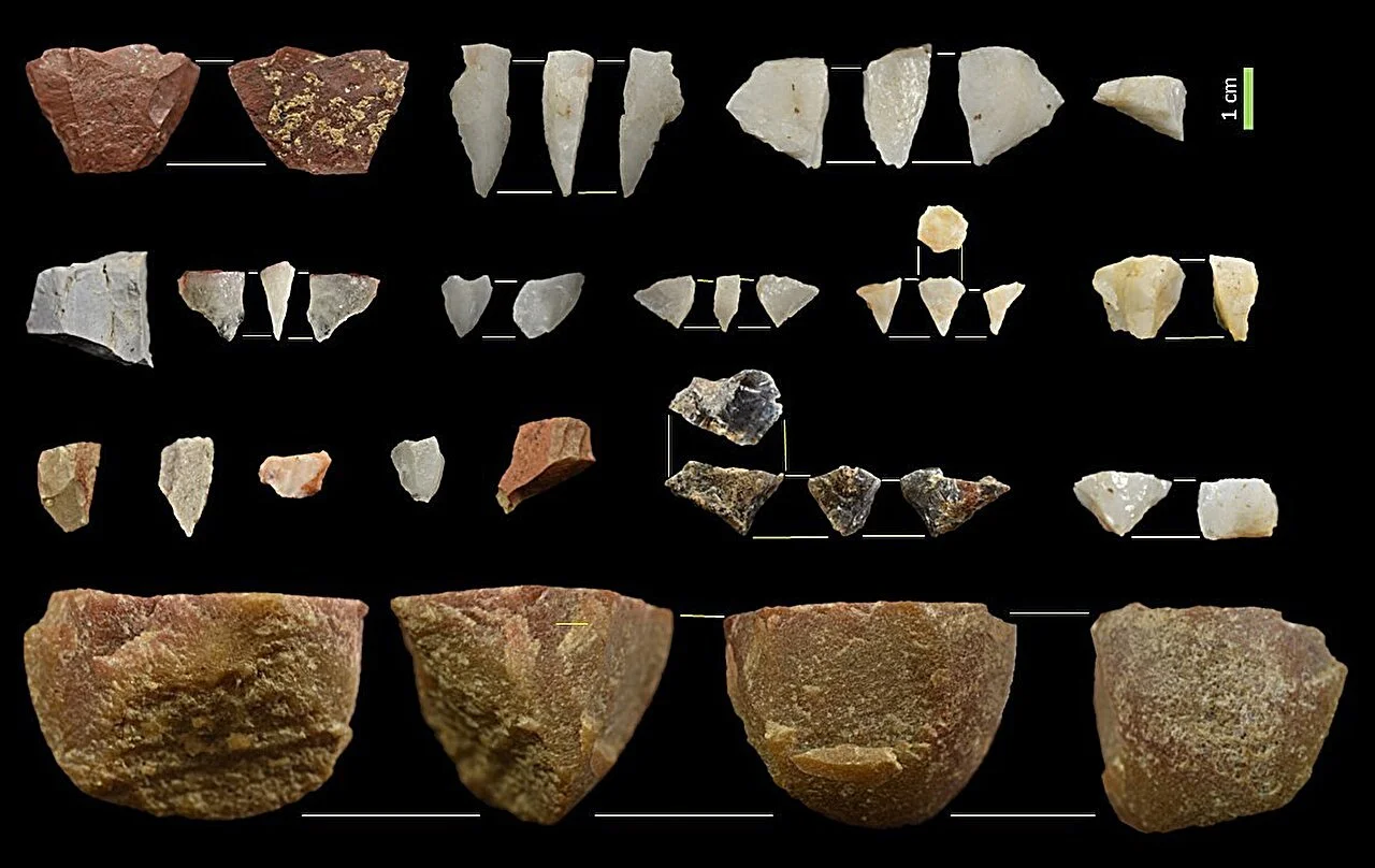
Common stone artefacts include flakes removed from a larger piece of rock, cores from which flakes were struck, and tools shaped for cutting, scraping, piercing, or other tasks. Some tools were produced through relatively simple techniques, while others required considerable planning and skill.
A sharp stone flake could be used to cut animal tissue or process plants. Scrapers could help remove material from hides or work other substances. The precise function of an artefact, however, is not always obvious from its shape. Researchers may examine microscopic wear, residues, manufacturing marks, and comparisons with experimentally produced tools.
Not every naturally sharp stone is an artefact. Geological processes can fracture rock in ways that resemble deliberate tool production. Archaeologists therefore look for patterns such as repeated flake removal, recognizable striking platforms, bulbs of percussion, and other features consistent with human manufacture.
Stone Technology and Human Adaptation
Stone-tool technology changed over long periods as human populations developed different ways of obtaining and processing materials. The types of stone available in a particular landscape influenced what tools people could make and how far they might travel to obtain suitable raw materials.
Some stones fracture predictably and can produce sharp edges. Others are less suitable for controlled flaking. A prehistoric group might collect stone from riverbeds, exposed outcrops, or particular geological formations.
Researchers can sometimes identify where artefacts originated by comparing their mineral composition and geological characteristics with local and regional sources. If tools were made from stone not naturally available nearby, this may indicate that people transported raw material or finished artefacts across the landscape.
Such movement could reflect seasonal travel, exchange, or repeated use of particular resource areas. It does not automatically prove long-distance trade, because people may have collected material during ordinary journeys.
The Challenge of River Archaeology
River environments can both preserve and destroy archaeological evidence. Sediment deposited during floods may bury artefacts and protect them from later disturbance. At other times, flowing water can move objects away from their original locations, mix material from different periods, or expose deposits that were previously buried.
This creates a major challenge when prehistoric tools are found on a riverbank. An artefact may have been manufactured nearby, but it could also have been carried downstream from another location.
The surrounding geological context is therefore crucial. Researchers examine the sediment, the position of the artefacts, signs of water transport, and the relationship between the finds and nearby archaeological features.
A concentration of tools found within an undisturbed archaeological layer provides stronger evidence than isolated objects collected from loose gravel. Even then, the age of the layer must be established using appropriate dating techniques or geological evidence.
Investigating the Qiloane Falls Area
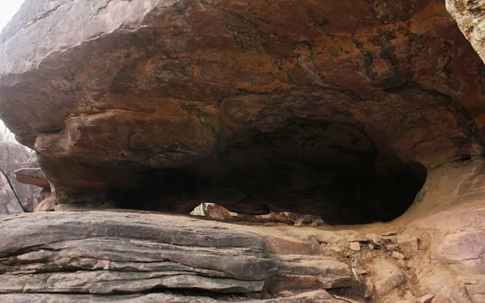
A systematic investigation would begin with a survey of the area around the falls, including river terraces, exposed rock surfaces, nearby caves or shelters, and relatively level ground. Archaeologists would record the location of artefacts rather than removing them without documentation.
If a promising concentration were identified, researchers could investigate whether it represents a tool-production area, a place where people used finished tools, or material transported by natural processes.
Analysis of flakes, cores, raw materials, and manufacturing techniques could help reconstruct how tools were produced. Use-wear analysis may provide additional evidence of cutting, scraping, or other activities.
Scientific dating might be possible if the artefacts occur in a suitable stratified deposit. Stone tools themselves are not usually dated directly using the same methods applied to charcoal or bone, so researchers often date the surrounding geological or archaeological context.
Protecting Prehistoric Evidence
Stone tools may appear durable, but removing them from their original location can destroy essential information. A tool's position relative to other artefacts and sediment can be as important as the tool itself.
Visitors should avoid collecting suspected artefacts from archaeological sites. Photography, location recording by authorized researchers, and reporting discoveries to appropriate heritage authorities are more responsible ways to help protect the record.
Conclusion
Qiloane Falls provides an opportunity to explore how water landscapes may have influenced prehistoric movement, resource use, and stone-tool production in Lesotho. The falls' archaeological importance would depend on verified finds and the quality of their context.
By combining geological study, careful survey, stone-tool analysis, and scientific dating, researchers can distinguish human-made artefacts from naturally fractured stones and reconstruct the activities associated with them. Such work can reveal how prehistoric communities adapted to a varied landscape and used available materials to meet the practical demands of daily life.