BY THE ARCHAEOLOGIST EDITOR GROUP
New Paleolithic musical evidence was discovered during the summer 2008 excavations at the Hohle Fels and Vogelherd sites in the form of one virtually complete bone flute's remains and small, isolated shards from three ivory flutes.
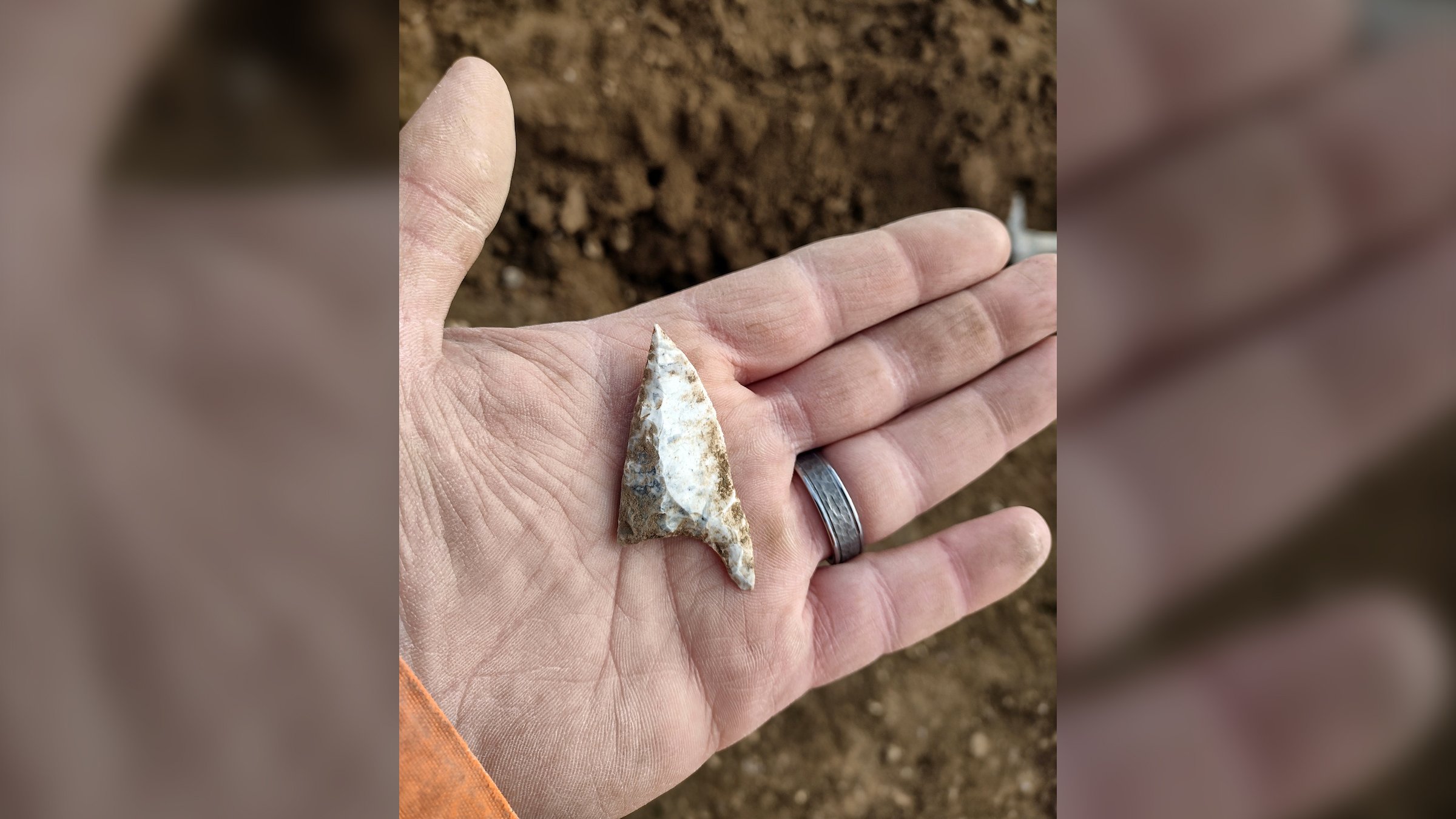
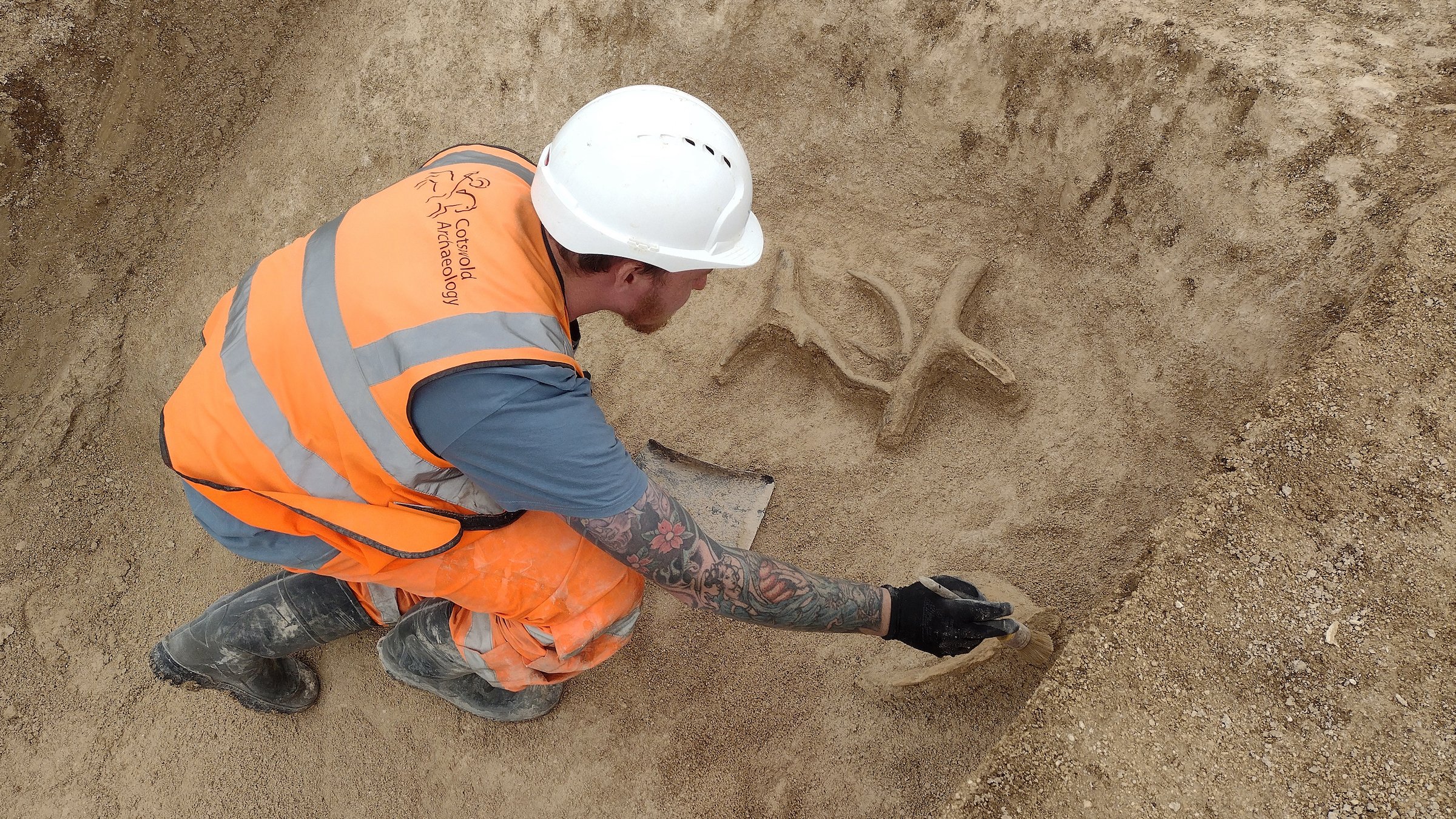
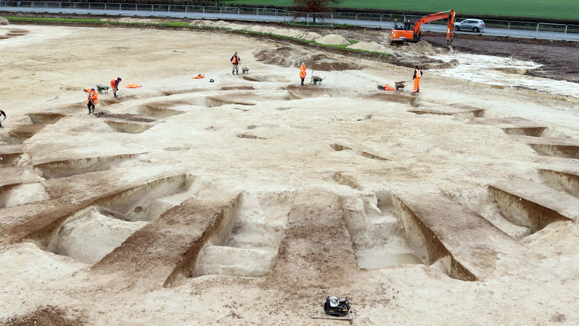
A almost complete bone flute, the most remarkable of these discoveries, was discovered in the basal Aurignacian layers at Hohle Fels Cave in the Ach Valley, 20 kilometers west of Ulm. There were 12 components of the flute. The shards were dispersed over a horizontal region of roughly 10 x 20 cm and a vertical distance of 3 cm. Among all the musical instruments discovered so far in the Swabian caves, this flute is by far the most complete.
The Hohle Fels bone flute's preserved piece is 21.8 cm in length and 8 mm in diameter. Five finger holes remain on the flute. The surfaces of the flute and the bone's structure are in superb shape and provide a wealth of information about how the flute was made. To build what would have been the musician's blowing end of the flute, the creator carved two deep, V-shaped notches into one end of the instrument. This strata has a moderately high find density, including charred bone, a lot of flint knapping waste, worked bone and ivory, bones from horses, reindeer, mammoths, and ibex, as well as bones from other animals. Therefore, we infer that modern humans manufactured the artifacts from the base Aurignacian layers not long after their arrival in the area during a migration up the Danube Corridor. No diagnostic human bones have been recovered in Swabian Aurignacian sediments.
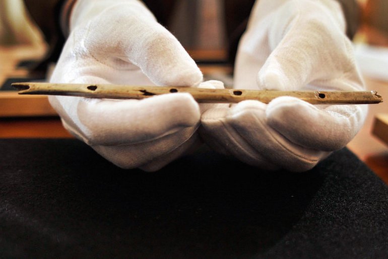
Daniel Maurer/Associated Press
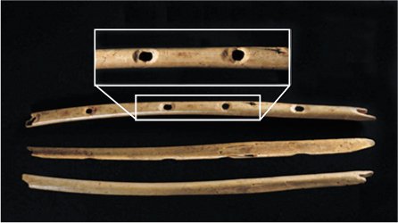
The flute's inventor created the instrument using a griffon vulture's radius (Gyps fulvus). This species produces bones perfect for huge flutes and has wingspan between 230 and 265 cm. The Swabian cave deposits from the Upper Paleolithic period provide evidence of griffon vultures and other vultures.
Two tiny shards of what are almost certainly two ivory flutes from the basal Aurignacian were also discovered during the 2008 excavations at Hohle Fels. The two finds are not from the same instrument, according to the differing diameters of the shards. Another isolated shard of an additional ivory flute was discovered by excavators at Vogelherd in the Lone Valley, 25 km northwest of Ulm.
Making a flute out of bird bone is far simpler technologically than manufacturing one out of ivory. A naturally curved piece of ivory must first be rough shaped along its long axis, split open along one of the bedding plains, carefully hollowed out, and then the holes must be carved. The flute's halves must then be joined together with an airtight seal. It is common to locate single pieces of delicate ivory artifacts given their propensity to break into several pieces.
The 31–40 ka BP range is covered by the ten radiocarbon dates from the basal Aurignacian. The flutes from Hohle Fels precede 35,000 calendar years ago, according to independent controls and available calibrations using various techniques. There is no solid proof that musical instruments existed before 30 ka BP, with the exception of the Swabian Jura caves.
These discoveries show how significant music was to Aurignacian culture in the Ach and Lone valleys in southwest Germany. The majority of these flutes come from archaeological contexts that are rich in lithic and organic objects as well as animal remains that have been hunted and burned. This data implies that people who lived at the locations engaged in a variety of social and cultural musical activities and that flutes were thrown with many other types of occupational waste. In the case of Hohle Fels, the bone flute's placement in a sparse archaeological horizon only 70 cm from a female figurine of a comparable age raises the possibility of a contextual connection between these two discoveries.
The flutes from Hohle Fels, Vogelherd, and earlier discoveries from nearby Geißenklösterle Cave show that the Aurignacian had a musical tradition at the time that modern humans first colonized the Upper Danube region. When early figurative art and other innovations, such as a vast variety of new types of personal adornment and new lithic and organic technology, emerged throughout the Aurignacian, a musical tradition also emerged. However, music appears to have contributed to improved social cohesion and new forms of communication, which indirectly contributed to the demographic expansion of modern humans relative to the culturally more conservative Neanderthal populations. Although the presence of music in the lives of Upper Paleolithic peoples did not directly produce a more effective subsistence economy and greater reproductive success, it does seem to have contributed to these factors.