Introduction
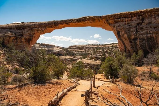
The Utah landscape contains thousands of natural arches, bridges, cliffs, canyons, and rock formations that have been used and interpreted by people for thousands of years.
Among the lesser-known features associated with the archaeological landscape of southern Utah are natural bridges and arches located near archaeological areas and canyon systems.
The title "Anasazi Bridge" reflects a popular geographic and archaeological association, but it is important to distinguish natural geological formations from archaeological structures. A natural bridge is created primarily through erosion, not constructed by people.
The distinction matters because the Four Corners landscape contains both extraordinary natural formations and extensive archaeological evidence from ancestral Pueblo communities.
Natural Bridges and Geological Processes
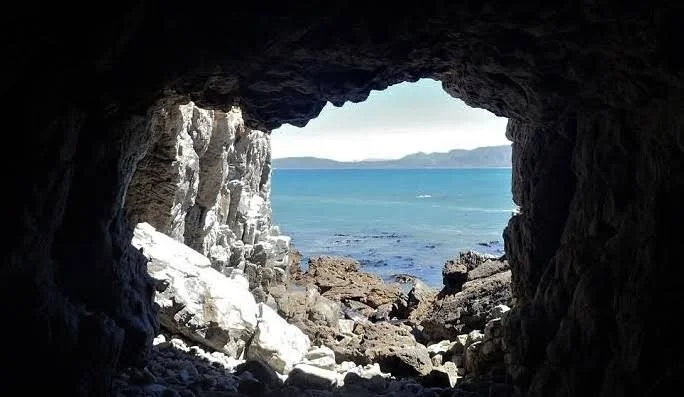
A natural bridge forms when erosion cuts through a landform, eventually creating an opening beneath a span of rock.
Water is often the primary agent.
In desert environments, flash floods can exploit weaknesses in sandstone.
Over long periods, channels deepen.
The rock above an opening becomes isolated.
Eventually, a bridge-like formation remains.
The sandstone landscapes of southern Utah are particularly favorable for such processes.
The Difference Between an Arch and a Bridge
Geologists distinguish between natural arches and natural bridges.
An arch may form through processes such as weathering, frost action, or erosion.
A natural bridge is more specifically associated with flowing water.
The distinction is scientific rather than cultural.
To an observer, both can look like enormous stone doorways.
The Anasazi Name
The term "Anasazi" is an older archaeological label that has largely been replaced by Ancestral Puebloan in professional and Indigenous-sensitive usage.
"Anasazi" derives from a Navajo term that has often been translated as "ancient enemies" or interpreted in related ways.
Many archaeologists and institutions now prefer "Ancestral Pueblo" because it emphasizes cultural continuity with modern Pueblo peoples.
Nevertheless, older place names remain embedded in maps, popular literature, and tourism.
Natural Bridges in Archaeological Landscapes
Natural bridges could have been important landmarks even when they were not modified by people.
A dramatic geological feature is easy to recognize.
It can become a waypoint.
It can define a travel route.
It can serve as a meeting place.
It can become part of oral traditions.
In an environment where navigation can be difficult, large rock formations provide natural reference points.
Water and Travel
The same processes that create natural bridges can create travel corridors.
Canyons provide routes through otherwise difficult terrain.
Seasonal streams can provide water.
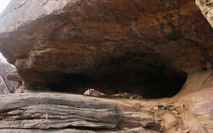
Sheltered alcoves can offer protection from weather.
People moving through southern Utah would have encountered these geological formations as part of their daily environment.
Archaeological Landscapes Around Bridges
Archaeological surveys in southern Utah have identified extensive evidence of ancestral Pueblo occupation.
Sites can include:
rock shelters
pottery scatters
agricultural fields
storage structures
pithouses
masonry rooms
petroglyphs
The presence of an arch does not automatically mean that people built or lived within it.
Archaeological interpretation requires physical evidence.
Rock Art
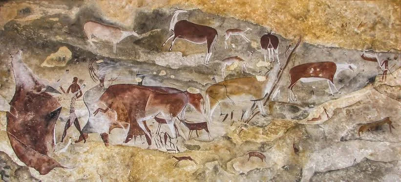
Natural rock formations frequently occur near rock-art sites.
Petroglyphs were created by pecking or carving into rock surfaces.
Pictographs were painted.
Images may include humans, animals, geometric designs, and abstract forms.
Their meanings vary and cannot always be recovered.
The Archaeology of Movement
One of the most important concepts in Southwestern archaeology is movement.
People did not simply live inside houses.
They traveled between:
farms
water sources
hunting grounds
villages
ceremonial spaces
storage locations
neighboring communities
Natural bridges and canyon systems could form part of these travel networks.
Landscape Memory
Landscapes can preserve cultural memory.
A prominent arch may be associated with stories.
A canyon may be connected to a migration tradition.
A mountain may serve as a ceremonial landmark.
Archaeologists sometimes refer to these relationships as cultural landscapes.
The concept recognizes that places can have meaning beyond their physical resources.
Natural Architecture
There is an interesting relationship between natural and constructed architecture in the Southwest.
Ancestral Pueblo builders frequently incorporated cliffs, caves, boulders, and rock shelters into their buildings.
Natural bridges represent the extreme end of this geological architecture.
The rock itself creates the structure.
Humans may then use the surrounding landscape without substantially modifying it.
Archaeological Caution
Because popular archaeology often attaches dramatic stories to natural formations, careful evidence is essential.
A natural arch does not become an archaeological site merely because pottery is found nearby.
A rock shelter does not automatically represent a residence.
A petroglyph does not automatically explain why the landscape was used.
Archaeologists establish interpretations through multiple lines of evidence.
Modern Preservation
Natural arches are vulnerable to erosion.
Unlike buildings, they cannot simply be repaired.
The geological processes that created them continue to operate.
Human vandalism can also damage nearby archaeological resources.
Visitors should avoid touching rock art, climbing fragile formations, or collecting artifacts.
Why These Places Matter
The importance of a natural bridge lies partly in its ability to connect geology and archaeology.
The rock formation tells a geological story.
Nearby archaeological remains tell a human story.
Together they demonstrate how people interacted with the physical environment.
Conclusion
"Anasazi Bridge" should be approached as a landscape concept rather than assuming that the bridge itself was an ancient Pueblo construction.
Natural bridges are products of erosion.
Yet the surrounding landscapes can preserve remarkable archaeological evidence of ancestral Pueblo life.
People traveled through canyons.
They farmed near water sources.
They built shelters.
They created rock art.
They navigated using prominent geological landmarks.
The resulting cultural landscape demonstrates that archaeology is not confined to buildings.
Sometimes the most important archaeological setting is the natural world surrounding the ruins.