Introduction
The archaeological tradition historically called Anasazi, now more commonly discussed using terms such as Ancestral Puebloan, produced one of the most remarkable architectural landscapes in the ancient American Southwest.
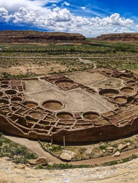
The center of this network was Chaco Canyon in northwestern New Mexico.
However, Chaco was not an isolated settlement.
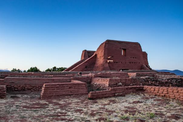
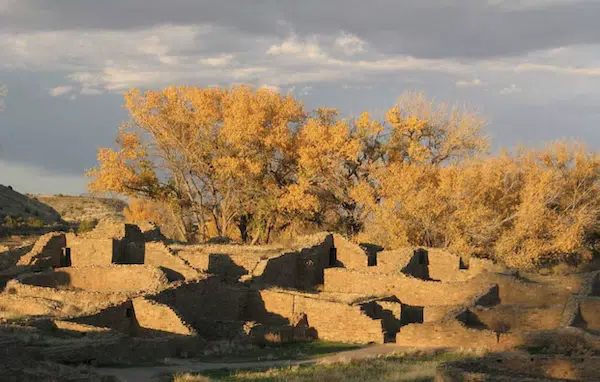
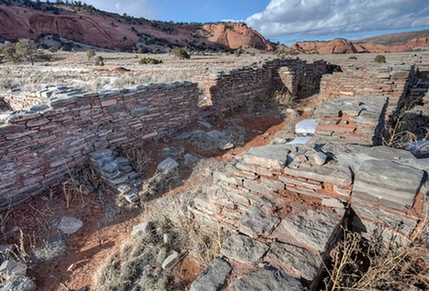
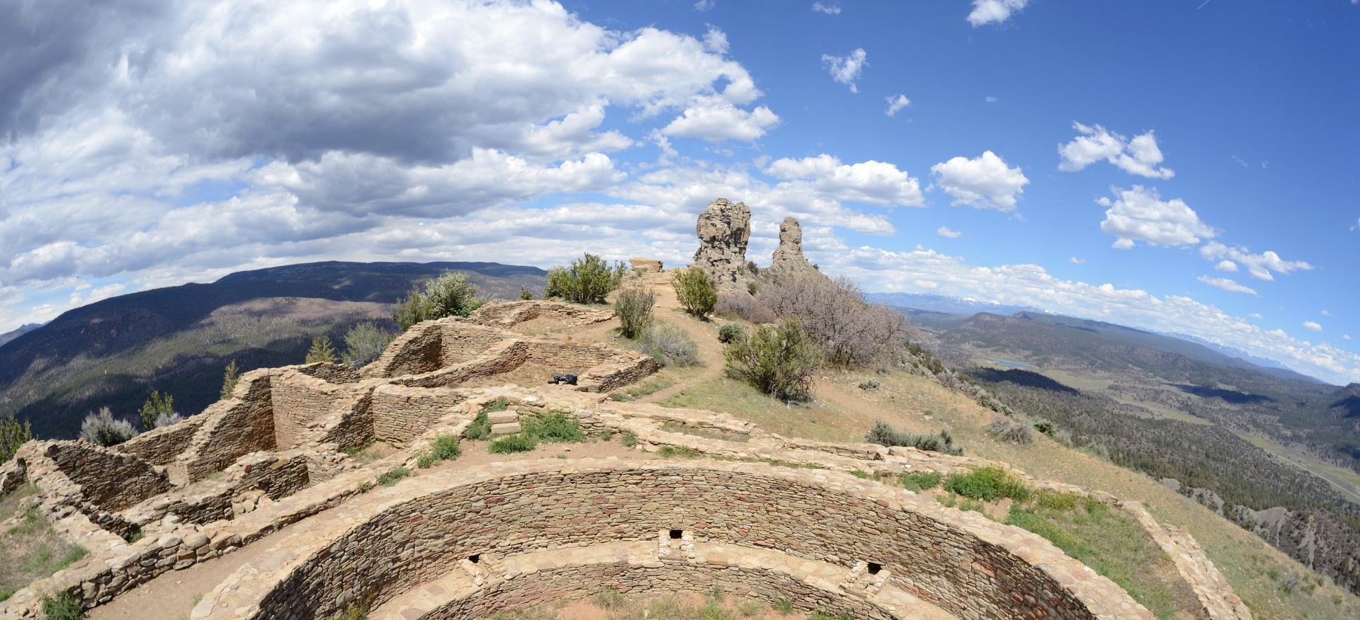
Hundreds of sites across the surrounding region show architectural and cultural connections to the canyon.
These are commonly described as Chacoan outliers.
The Chacoan System
Chacoan communities flourished primarily between the ninth and thirteenth centuries CE.
The central canyon contained enormous structures known as great houses.
Examples include:
Pueblo Bonito;
Chetro Ketl;
Pueblo del Arroyo;
Kin Kletso.
Similar architectural traditions appeared at distant locations.
The Great Houses
Chacoan great houses contained numerous rooms and sometimes multiple stories.
Construction required:
stone quarrying;
timber harvesting;
masonry;
plastering;
transportation;
organized labor.
The scale of construction suggests sophisticated social organization.
The Road Network
One of Chaco's most fascinating features is its extensive road system.
Roads were often remarkably straight.
Some appear to connect great houses and communities over substantial distances.
These routes were not necessarily equivalent to modern highways.
They may have had:
ceremonial functions;
political functions;
economic functions;
pilgrimage functions;
communication purposes.
Why Were the Roads So Straight?
The extraordinary linearity of some roads has generated considerable debate.
Possible explanations include:
surveying traditions;
ceremonial movement;
astronomical relationships;
political integration;
communication between settlements.
No single explanation necessarily applies to every road.
Water and Agriculture
The Southwest presented difficult agricultural conditions.
Ancestral Puebloan farmers depended heavily on rainfall and carefully selected agricultural locations.
Crops included:
maize;
beans;
squash.
Agricultural productivity varied with climate.
Outliers and Political Organization
The relationship between Chaco Canyon and distant outliers remains debated.
Some archaeologists interpret the system as evidence of centralized political authority.
Others emphasize networks of ritual interaction and regional cooperation.
The archaeological evidence does not necessarily support a simple model of a centralized "Chacoan empire."
Astronomy
Some Chacoan structures appear to have relationships with solar and lunar cycles.
Sunlight entering particular architectural spaces may have had ceremonial significance.
However, claims about specific astronomical alignments must be evaluated individually.
Long-Distance Exchange
Chacoan sites contained materials transported from distant regions.
These included:
turquoise;
shells;
macaws;
copper bells;
ceramics.
Such objects demonstrate that the Southwest was connected to extensive exchange networks.
Decline
By the thirteenth century, the Chacoan system changed dramatically.
Population movements and abandonment affected many sites.
Environmental changes, drought, political transformation, and social reorganization probably contributed.
Conclusion
The Chacoan road network is one of the most extraordinary archaeological transportation systems in ancient North America.
Its roads and outlier communities reveal a society capable of coordinating architecture, movement, agriculture, ritual, and long-distance exchange across a vast landscape.