Introduction
Desert landscapes can appear empty and difficult to navigate, yet they have supported extensive systems of travel, exchange, and communication throughout human history.
Caravans moved goods, animals, people, and information between settlements separated by large distances. Their routes often depended on knowledge of water sources, grazing areas, mountain passes, seasonal conditions, and recognizable landmarks.
Rock carvings found along desert corridors provide an important archaeological resource for investigating these systems of movement. Some images may have marked routes, recorded visits, expressed group identities, or commemorated journeys.
Although not every petroglyph served as a navigational sign, the study of rock art in relation to caravan routes can reveal how communities interacted with desert environments.
1. Desert Caravans and Long-Distance Travel
Caravans were organized groups of travelers and pack animals moving together across long-distance routes.
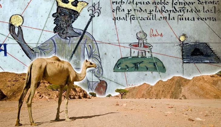
Camels became particularly important in many desert transportation systems because of their ability to travel through arid environments with limited water.
Other animals, including donkeys and horses, were also used in different regions and historical periods.
Caravan routes connected agricultural settlements, trading centers, oasis communities, mining areas, and coastal ports.
The routes were shaped by environmental conditions as well as political, economic, and social relationships.
2. Petroglyphs as Landscape Markings
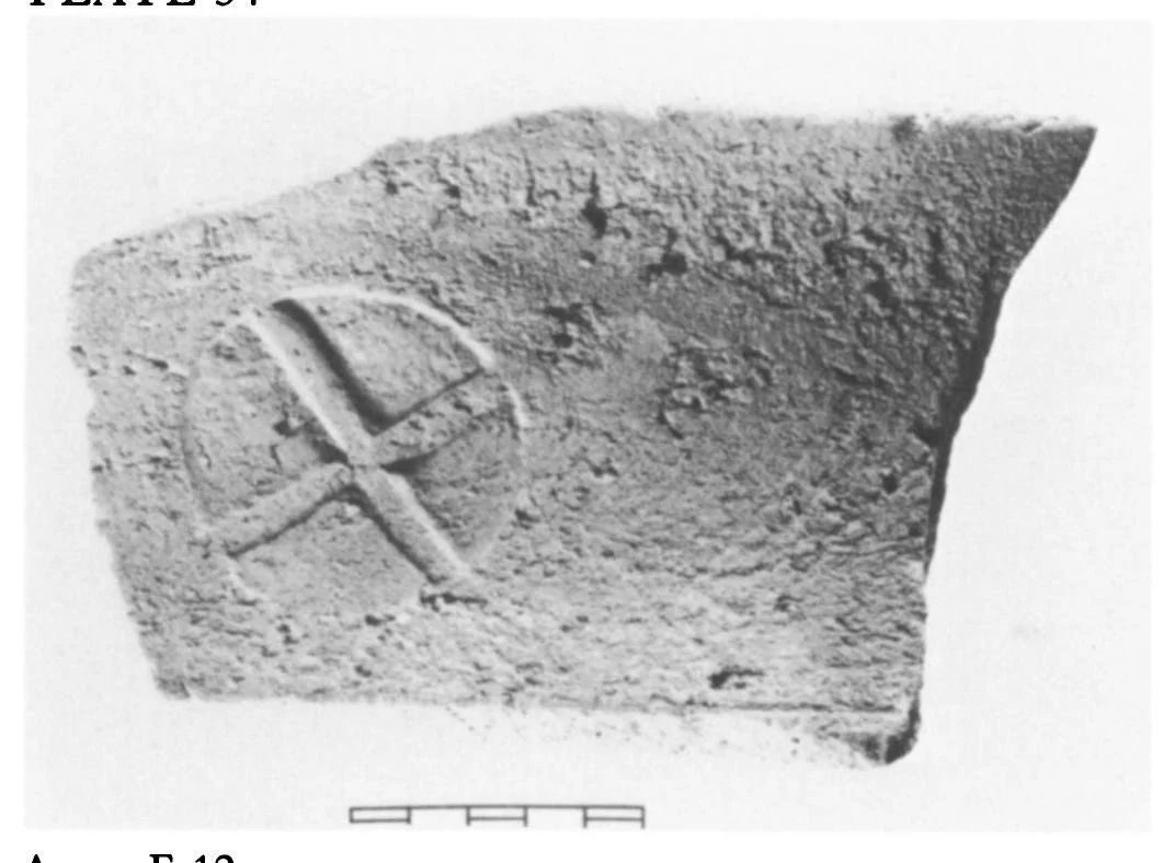
Petroglyphs are images or symbols carved into rock surfaces through techniques such as pecking, incision, and abrasion.
Desert rock art can depict animals, human figures, geometric designs, weapons, vehicles, and other recognizable forms.
Some carvings may have been produced by travelers who wanted to record their presence or identify themselves with a particular group.
Others could have commemorated important events or expressed religious and symbolic ideas.
A petroglyph's proximity to a route does not automatically prove that it functioned as a directional marker.
3. Possible Caravan-Related Symbols
Certain types of images may be especially relevant to the study of desert transportation.
Animal figures can provide clues about the species used in local travel and trade. Human figures carrying equipment or leading animals may represent activities associated with movement.
Geometric markings, repeated symbols, or groups of inscriptions might have served as recognizable signs.
However, researchers must distinguish between actual navigational markings and images with ceremonial, commemorative, or artistic purposes.
The meaning of a symbol may also have changed over time as different groups used the same landscape.
4. Rock Art and Water Sources
Water was one of the most important factors influencing desert travel.
Caravan routes often connected wells, springs, seasonal watercourses, and oasis settlements.
Petroglyphs located near these places may reflect repeated visits by travelers or the cultural importance of particular water sources.
Archaeologists can compare the location of carvings with reconstructed ancient water systems to investigate possible relationships.
However, modern water sources may differ from ancient ones because of climatic changes, geological processes, and human modification.
5. Mapping Ancient Desert Routes
Modern archaeological research combines rock-art recording with geographic information systems.
GIS mapping allows researchers to compare petroglyph locations with terrain, elevation, natural passes, water sources, and known archaeological settlements.
Least-cost path analysis can help identify routes that would have reduced travel effort or avoided difficult terrain.
These models are useful for generating hypotheses, but they cannot establish the exact route used by an ancient caravan without additional evidence.
Researchers also examine historical travel accounts, inscriptions, trade goods, and settlement remains.
6. Dating Caravan-Related Petroglyphs
Dating rock art is difficult because carvings are often made directly into exposed rock surfaces.
Relative dating may use weathering, patination, carving style, and relationships between overlapping images.
Some inscriptions can be dated through their script, language, or references to historically identifiable people and events.
Radiometric techniques may occasionally provide indirect chronological information through associated materials, but they do not always date the carving itself.
A desert rock-art site may contain images produced by different communities over hundreds or thousands of years.
7. Trade Goods and Archaeological Connections
Artifacts found along desert routes can help establish whether a particular corridor supported long-distance movement.
Imported pottery, metal objects, beads, coins, and other materials may reveal connections between distant regions.
Their distribution can be compared with the location of petroglyphs, wells, campsites, and settlements.
Such comparisons may identify areas where travelers repeatedly stopped or where exchange activities took place.
However, the movement of an artifact does not necessarily indicate that it followed a single direct caravan route.
8. Group Identity and Territorial Marking
Petroglyphs may have helped travelers express their identities within shared desert landscapes.
Repeated symbols could have represented family groups, communities, religious affiliations, or individual visitors.
Some carvings might also have communicated claims to particular resources or marked places of cultural significance.
These interpretations require careful analysis of repeated motifs, inscriptions, chronology, and regional comparisons.
The same image could have different meanings in different communities.
9. Conservation of Desert Rock Art
Desert petroglyphs may appear durable, but they are vulnerable to environmental and human damage.
Wind erosion, temperature changes, salt crystallization, and biological growth can gradually alter carved surfaces.
Modern threats include road construction, mining, tourism, vandalism, and unregulated collecting.
Digital recording, photogrammetry, detailed photography, and controlled visitor access can help preserve rock-art sites.
Local communities are also important partners in protecting landscapes that may retain cultural significance beyond their archaeological value.
Conclusion
Petroglyphs along desert travel corridors offer a valuable opportunity to investigate ancient mobility, trade, and cultural interaction.
Some carvings may have served as signs associated with travel, while others recorded visits, expressed identity, or marked places of symbolic importance.
By combining rock-art documentation with GIS analysis, environmental reconstruction, artifact distribution, and historical evidence, researchers can develop more reliable maps of ancient desert movement.
The study of caravan-related petroglyphs ultimately demonstrates that desert landscapes were not empty spaces but interconnected environments shaped by generations of travelers.