Introduction
The island of Hydra occupies a strategic position in the Saronic Gulf, where maritime movement has connected coastal communities, islands, and mainland settlements for centuries.
Its rocky coastline, sheltered coves, and natural landing areas made the surrounding waters important for fishing, transportation, and maritime exchange.
One intriguing archaeological subject is the possibility of submerged mooring rings dating to the Geometric period of Greek history. Such features could provide information about early maritime infrastructure and the organization of coastal activity.
However, a specific group of Geometric-period mooring rings near an outer cove of Hydra should not be treated as an established discovery without published archaeological documentation.
This article examines the archaeological potential of submerged mooring features, their possible construction, and the methods used to investigate ancient harbor environments.
1. Hydra and Its Maritime Setting
Hydra lies in the Saronic Gulf, south of the Argolic Peninsula.
Its coastline includes rocky shores, small bays, and sheltered locations that could provide temporary anchorage under suitable weather conditions.
The island's maritime position connected it with wider networks across the Aegean and the eastern Mediterranean.
Its later prominence as a maritime center is well documented, but the study of earlier periods requires separate archaeological evidence.
2. The Greek Geometric Period
The Geometric period of Greek archaeology is generally dated from approximately the tenth to the eighth centuries BCE.
It is associated with developments in pottery decoration, burial practices, settlement organization, and the expansion of regional exchange networks.
Maritime activity was important during this period, although the scale and organization of seafaring varied across different communities.
Archaeological evidence from coastal settlements, shipwrecks, imported pottery, and harbor environments can help reconstruct these connections.
3. What Were Mooring Rings?
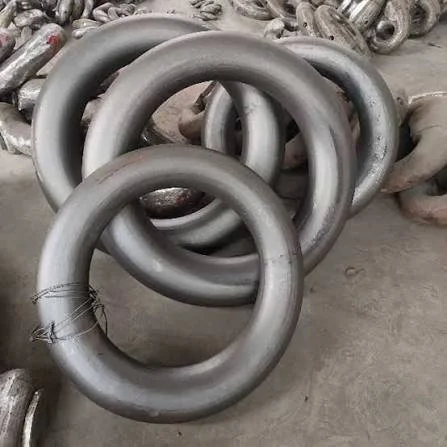
Mooring rings are fixed structures or fittings used to secure boats and ships.
They may consist of metal rings attached to stone, openings cut into rock, or other arrangements designed to hold ropes.
In some ancient harbors, vessels could be secured using stone bollards, rings, posts, and natural rock formations.
A circular feature carved into a coastal rock surface might therefore be related to mooring activity, but alternative explanations must also be considered.
4. Identifying Submerged Mooring Features
Underwater archaeological surveys can reveal artificial modifications to submerged rock surfaces.
Researchers examine the shape, depth, tool marks, and position of suspected mooring features.
A deliberately cut ring or socket may show regular dimensions and traces of human modification. Natural erosion, marine organisms, and geological fractures can produce misleading shapes.
The relationship between the feature and the ancient shoreline is especially important.
A feature that is submerged today may originally have been above water, depending on historical sea-level changes and local geological movement.
5. The Importance of Sea-Level Reconstruction
Sea levels have changed significantly throughout the Holocene, although the amount and timing of change vary between regions.
Coastal structures that are now underwater may have originally been built on dry land or at the water's edge.
Researchers investigate these changes through geological cores, submerged landscapes, coastal geomorphology, and dated archaeological remains.
In areas affected by tectonic activity, local vertical land movement must also be considered.
Hydra's surrounding coastline therefore requires site-specific geological investigation before the original position of any submerged feature can be reconstructed.
6. Mooring Systems and Ancient Navigation
Ancient boats required safe places to anchor, particularly during unfavorable weather.
Natural coves, sheltered bays, and constructed harbors provided different levels of protection.
Mooring arrangements could help prevent vessels from drifting, colliding, or becoming damaged against rocks.
The presence of mooring features might indicate repeated maritime use, but it would not necessarily establish the existence of a formal harbor.
A small anchorage could serve fishing boats, local transport vessels, or visiting merchants without requiring substantial harbor construction.
7. Archaeological Methods for Underwater Investigation
Researchers use several methods to investigate submerged coastal features.
Side-scan sonar can help identify unusual seabed formations, while underwater photogrammetry creates detailed three-dimensional records.
Diver surveys may examine suspected artificial features more closely, although visibility and current conditions can limit access.
Sediment sampling and geological analysis help establish the relationship between submerged structures and ancient coastal environments.
Where suitable organic materials survive, radiocarbon dating may contribute to chronological reconstruction.
8. Dating Mooring Rings
Dating a carved rock feature directly can be difficult.
Researchers may rely on associated deposits, nearby structures, inscriptions, or archaeological materials that provide chronological information.
Tool marks and carving techniques may offer comparative evidence, but stylistic resemblance alone cannot establish a precise date.
A ring could also have been reused or modified during later periods.
The possibility of repeated use is especially important in maritime environments where the same sheltered landing place may have served different communities over many centuries.
9. Protecting Submerged Maritime Heritage
Submerged coastal archaeology is vulnerable to several threats.
Anchoring, fishing equipment, coastal construction, dredging, and recreational diving can damage fragile remains.
Natural erosion and biological growth may also obscure or alter artificial features.
Systematic recording and responsible management are essential for preserving these sites.
Hydra's wider maritime landscape would benefit from integrated research that considers underwater remains alongside coastal settlements, historical records, and geological evidence.
Conclusion
Submerged mooring features near Hydra could provide valuable information about early Greek maritime activity and the development of coastal infrastructure.
If securely dated to the Geometric period, such structures would contribute to understanding how communities organized anchorage and movement across the Saronic Gulf.
However, identifying a specific group of Geometric mooring rings requires underwater documentation, geological reconstruction, and reliable chronological evidence. Their study illustrates the importance of investigating submerged landscapes as part of the broader archaeological history of the Aegean.