Humanity’s First Attempts to Understand the World
Maps are among the most powerful tools humans have ever created. They help us understand landscapes, navigate unfamiliar territory, and imagine distant places.
The earliest maps were simple but remarkable attempts to represent the world visually.
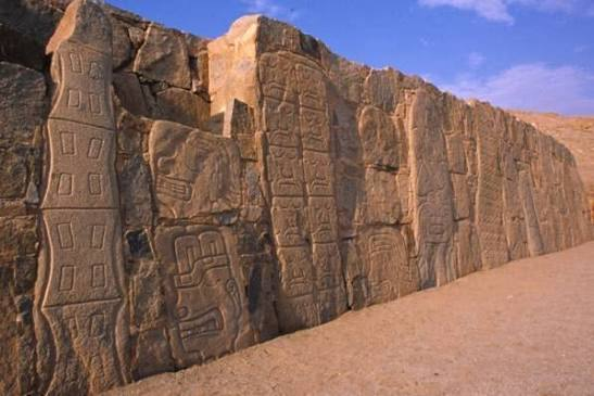
Maps Carved in Stone
Some of the oldest maps were carved directly into stone surfaces.
These early carvings may have shown rivers, hunting grounds, or paths used by ancient communities.
Although simple, they reveal that prehistoric people were already thinking spatially about their environment.
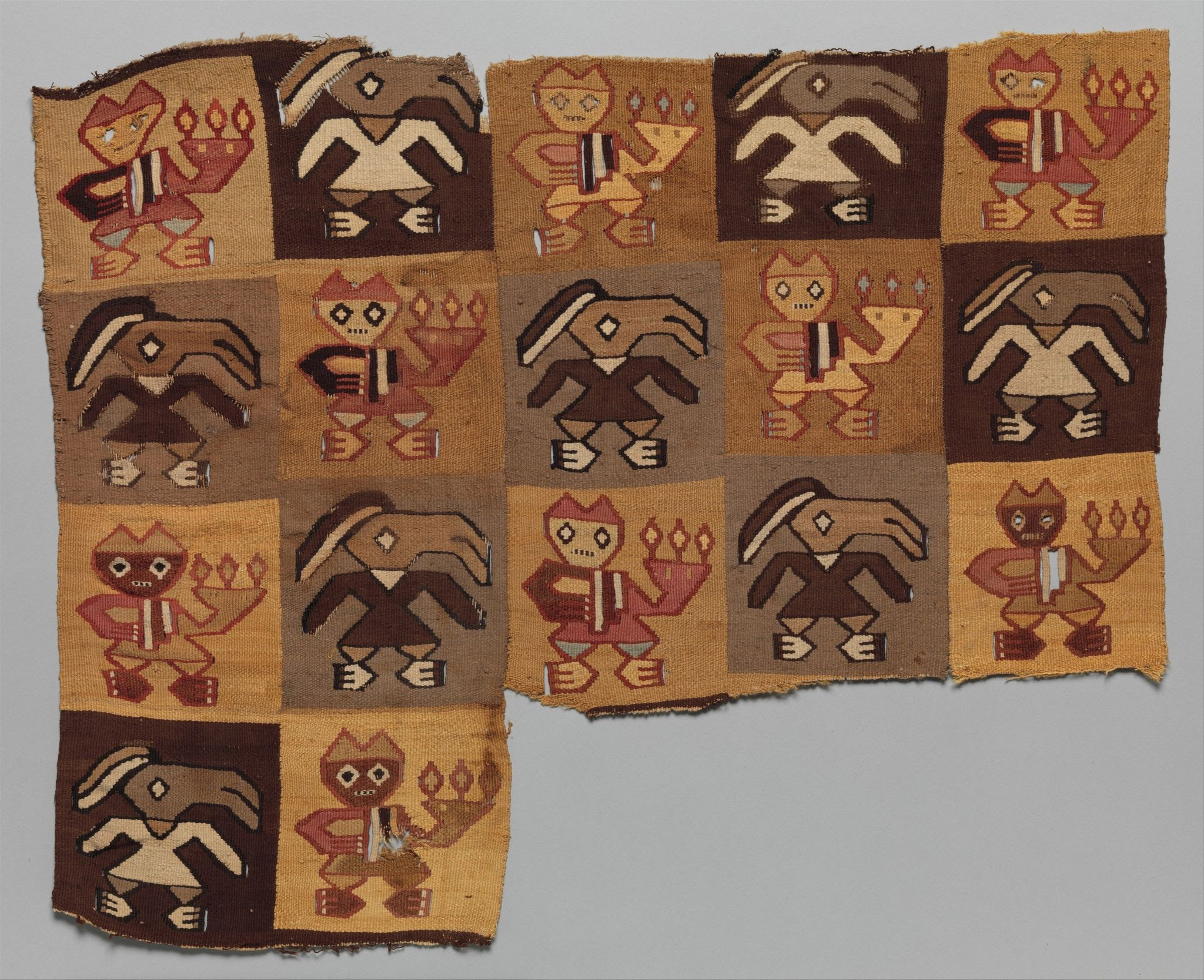
Clay Tablet Maps
Later civilizations began recording maps on clay tablets.
These maps often depicted cities, nearby rivers, and surrounding territories. They were sometimes used for administrative purposes, helping rulers organize land and resources.
Clay tablets also preserved maps of the broader world as people understood it.
Early Star Maps
Ancient cultures were also deeply interested in the sky.
Star maps helped track celestial patterns that were important for agriculture, navigation, and religious rituals.
These early astronomical maps reveal how ancient people connected the heavens with events on Earth.
What Early Maps Reveal
The oldest maps show how people perceived their place in the world.
They highlight what early societies considered important—water sources, sacred locations, trade routes, and celestial movements.
Even when inaccurate by modern standards, these maps reveal remarkable creativity and observation.
Mapping the Human Journey
The development of maps represents a key moment in human intellectual history.
By drawing the world around them, ancient people began transforming space into knowledge—a tradition that continues in modern cartography today.