Introduction
Few transportation routes in the American West demonstrate human determination in such dramatic fashion as the Hole-in-the-Rock Trail.
In the late nineteenth century, Mormon settlers in southern Utah faced an enormous geographic challenge: establishing a route across rugged terrain between the settlements of the upper Virgin River region and the San Juan River country.
The route they selected crossed some of the most difficult terrain in the Colorado Plateau.
Steep sandstone cliffs, deep canyons, broken mesas, and the Colorado River all presented obstacles.
Between 1879 and 1880, the expedition spent months constructing and improving a road that would allow wagons to descend toward the Colorado River and continue eastward.
The San Juan Mission
The expedition was organized as part of a Mormon colonization effort.
Church leaders wanted to establish settlements in the San Juan region of southeastern Utah.
A large group of settlers was organized for the journey.
The goal was not simply migration.
They intended to transport families, livestock, tools, food, wagons, and agricultural equipment.
This created enormous logistical demands.
Choosing the Route
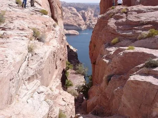
The Hole-in-the-Rock route followed an existing natural break in the cliffs toward the Colorado River.
The terrain was difficult enough that a wagon road did not simply exist.
The settlers had to construct one.
They widened passages.
They blasted or excavated rock.
They built switchbacks.
They reinforced steep slopes.
They created routes for wagons.
The Descent to the Colorado
The most famous section was the descent toward the Colorado River.
The sandstone cliffs were steep.
Wagons had to be lowered and guided carefully.
Animals required assistance.
People worked with ropes, timber, tools, and improvised engineering solutions.
The route became one of the most extraordinary examples of pioneer road construction in Utah.
Engineering the Trail
The road was a major engineering project.
Settlers had to transform terrain that was not naturally suitable for wagons.
They created:
ledges
switchbacks
retaining structures
widened passages
ramps
The work demonstrates the enormous amount of labor required for nineteenth-century overland migration.
The Colorado River
Crossing the Colorado created another major obstacle.
The expedition needed to transport people, animals, and wagons across the river.
The crossing was difficult because of the river's depth, current, and canyon environment.
After reaching the opposite side, the settlers continued toward the San Juan region.
Why the Trail Was So Difficult
The route was not chosen because it was easy.
It was chosen because alternatives were also extremely difficult.
The Colorado Plateau contains extensive areas of rugged terrain.
Natural routes are constrained by canyons and cliffs.
A route suitable for horseback riders may be impossible for wagons.
The settlers therefore had to construct infrastructure specifically for their technology.
Indigenous Landscapes
The Hole-in-the-Rock route crossed landscapes with long Indigenous histories.
Native peoples had traveled through the region for centuries.
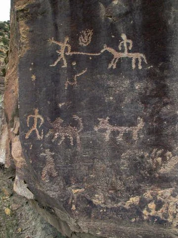
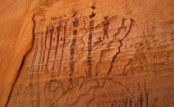
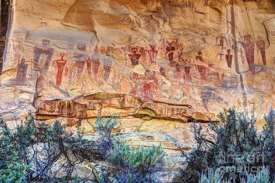
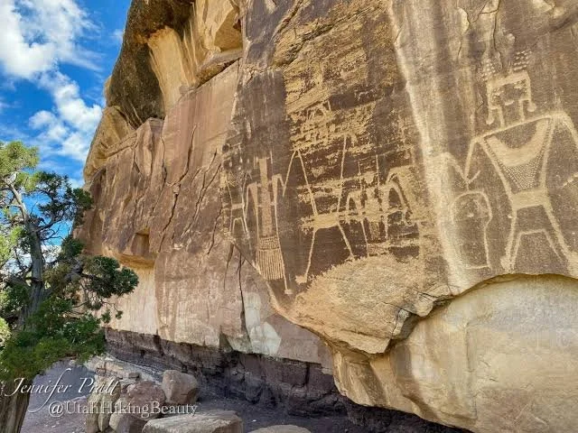
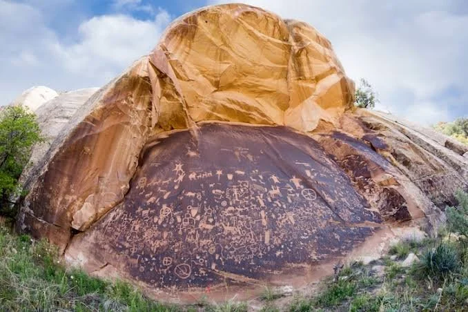
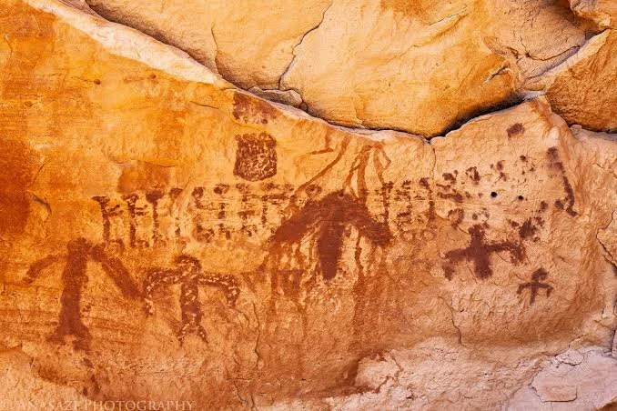
The presence of ancient trails, rock art, agricultural sites, and archaeological remains demonstrates that the landscape was not empty.
The Mormon settlers entered a region already occupied and used by Indigenous communities.
Relations With Native Peoples
Relations between Mormon settlers and Indigenous peoples varied considerably across Utah.
There were interactions involving trade, cooperation, conflict, missionary efforts, and competition over land and resources.
The history of the Hole-in-the-Rock expedition should therefore be understood within this larger colonial context.
Arrival in San Juan
The expedition eventually reached the San Juan region.
The settlers established communities despite the difficult environment.
Agriculture required irrigation.
Water was essential.
The same landscape that had made the journey difficult also created challenges for permanent settlement.
The Trail's Limited Use
The Hole-in-the-Rock route was never a major commercial highway.
Its extreme difficulty limited long-term use.
Once alternative routes became available, the original road became less important.
But its archaeological and historical significance remained.
Archaeological Evidence
The trail preserves physical evidence of nineteenth-century engineering.
Researchers can identify:
wagon ruts
rock-cut roads
retaining walls
camps
inscriptions
historic debris
These features help reconstruct the journey.
Preservation
The trail is vulnerable to modern vehicle use.
Off-road driving can damage historic surfaces.
Erosion can destroy wagon ruts.
Modern graffiti can damage historic inscriptions.
Preserving the route requires balancing public access with protection of fragile evidence.
Historical Significance
The Hole-in-the-Rock Trail demonstrates the relationship between migration and engineering.
The settlers did not simply travel through the landscape.
They physically altered it.
They transformed cliffs into roads.
They created infrastructure where none existed.
This is an important feature of American western expansion.
Conclusion
The Hole-in-the-Rock Trail is one of Utah's most remarkable historic transportation routes.
It demonstrates the enormous effort required to move families, wagons, animals, and supplies across the Colorado Plateau.
The trail also reveals the complexity of western settlement.
It was part of Mormon colonization, but it crossed a landscape with much older Indigenous histories.
Today, the surviving road cuts, switchbacks, camps, and river crossing areas provide tangible evidence of nineteenth-century engineering and migration.
The trail remains a monument to both human determination and the extraordinary difficulty of transforming a rugged landscape into a transportation corridor.