Introduction
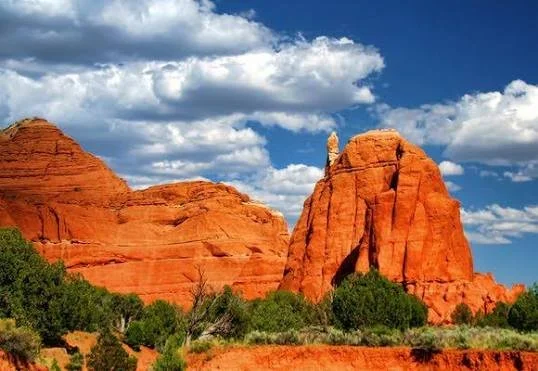
Utah's Kodachrome Basin is famous for its unusual sandstone spires rising from an enclosed basin surrounded by the larger landscapes of the Colorado Plateau.
These formations are known as sandstone chimneys or spires.
Their unusual shapes have fascinated geologists and visitors for generations.
But the importance of Kodachrome Basin extends beyond its scenery.
The basin preserves geological evidence of ancient sedimentary environments while also forming part of a broader landscape with a long history of Indigenous use.
A Basin of Spires
The most distinctive feature of Kodachrome Basin is its collection of tall, narrow sandstone formations.
Unlike conventional cliffs, the spires stand independently.
Some rise tens of meters above the basin floor.
They vary considerably in shape and size.
How Did the Spires Form?
The precise geological history of each formation is complex.
The sandstone surrounding the basin was deposited in ancient environments.
Later geological processes altered the layers.
One widely discussed explanation involves ancient sediment-filled conduits or pipes through which material once moved.
More resistant material remained while surrounding sandstone eroded.
The result was the formation of vertical pillars.
Differential Erosion
Differential erosion is central to understanding the landscape.
Not all rock erodes at the same rate.
Harder material survives longer.
Softer sandstone disappears.
Over time, resistant cores become exposed.
This process can create dramatic formations.
The Name Kodachrome
The name "Kodachrome Basin" was popularized in the twentieth century.
National Geographic photographers reportedly used the name because the landscape's colors resembled the vivid hues associated with Kodachrome photographic film.
The name became permanent.
Today, the landscape is preserved as Kodachrome Basin State Park.
Ancient Environments
The sandstone itself records ancient environments.
Different layers can represent:
dunes
river systems
floodplains
lakes
coastal environments
Sedimentary structures provide evidence of how wind and water moved across the ancient landscape.
Indigenous Use
The basin and surrounding region have long Indigenous histories.
People used nearby resources for hunting, gathering, travel, and other activities.
Archaeological evidence from the broader region demonstrates that the Colorado Plateau was repeatedly occupied.
Water
Modern visitors may underestimate how important water is in the desert.
Seasonal springs, streams, and waterholes can determine where people can travel and camp.
Ancient travelers would have planned routes around water availability.
Rock Art
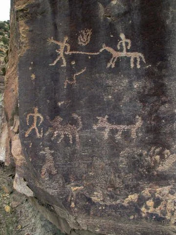
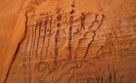
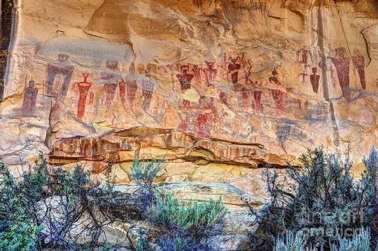
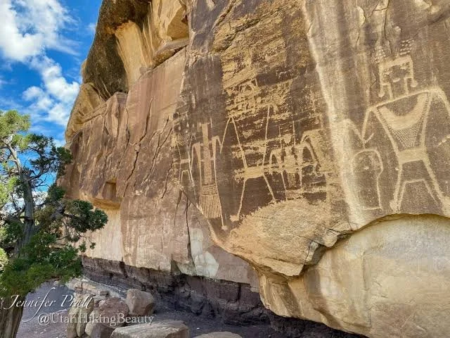
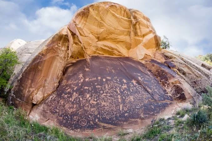
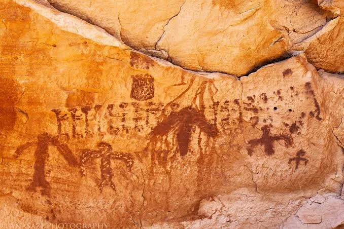
Rock art occurs throughout the broader southern Utah region.
Petroglyphs and pictographs provide evidence of Indigenous symbolic activity.
Not every panel can be assigned to a single culture or date.
Modern Recreation
Kodachrome Basin is now a recreational landscape.
Visitors hike among the spires.
Photography is particularly popular.
Camping and scenic tourism have become major uses.
Preservation
The spires are fragile.
Climbing and unauthorized off-trail activity can accelerate erosion.
Archaeological sites in the region are equally vulnerable.
Responsible visitation helps preserve the landscape for future research.
Conclusion
Kodachrome Basin is a striking example of geological sculpture.
Its sandstone spires demonstrate the effects of erosion and the unequal resistance of different geological materials.
The basin also belongs to a much older human landscape.
Indigenous peoples traveled through and used the region long before modern tourism.
Today, the site allows visitors to experience both geological history and the continuing cultural landscape of southern Utah.