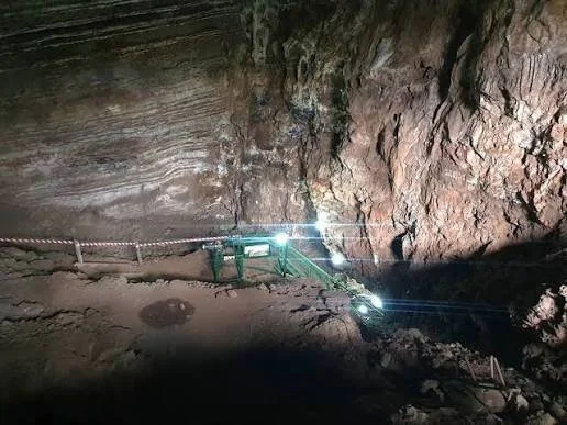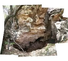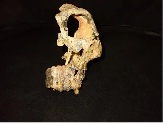
Divuyu is an important archaeological site in northern Botswana associated with prehistoric and early historic settlement networks in the broader Okavango and Chobe region.
The description “Satellite Mound” reflects the use of modern remote-sensing and archaeological survey techniques to identify settlement structures and landscape features that can be difficult to recognize from ground level.
The site's importance lies in its potential to illuminate how communities in northern Botswana participated in regional networks of settlement, craft production, exchange, and movement.
Archaeology of Northern Botswana
Northern Botswana contains a rich archaeological record.
The region's rivers and wetlands created corridors through otherwise dry landscapes.
Important waterways include:
the Okavango;
the Chobe;
and associated seasonal channels.
These waterways provided transportation and resources.
Settlement Mounds
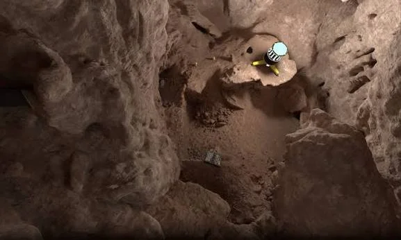
Archaeological mounds can develop through repeated occupation.
Layers may contain:
pottery;
charcoal;
animal bones;
shell;
stone tools;
and architectural debris.
Over centuries, these materials accumulate into raised deposits.
Why Mounds Matter
A mound can represent a long history of occupation.
Instead of one short-lived settlement, it may contain multiple phases of human activity.
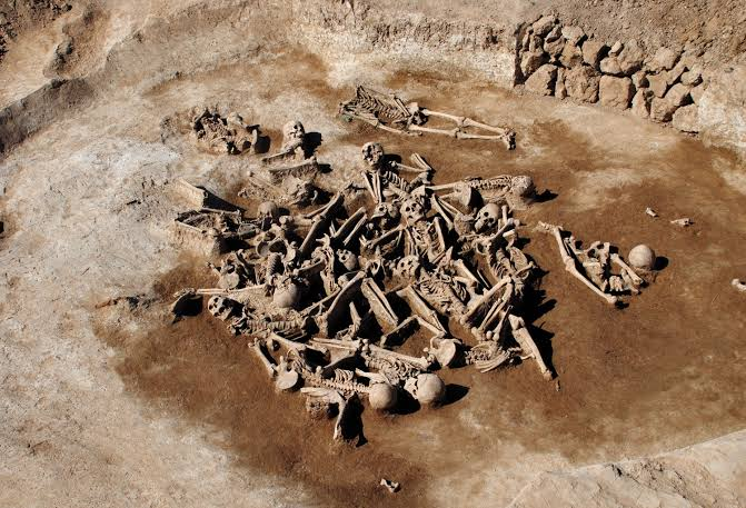
Archaeologists can excavate these layers to reconstruct changes over time.
Trading Networks
Northern Botswana was connected to wider southern African networks.
Communities could exchange:
pottery;
metal;
beads;
stone;
animal products;
and other resources.
Trade did not necessarily involve professional merchants.
Exchange could occur through networks of neighboring communities.
Iron Age Technology
Ironworking transformed many communities in southern Africa.
Iron tools could improve:
agriculture;
hunting;
woodworking;
and construction.
Iron objects could also become valuable exchange items.
Beads and Long-Distance Connections
Glass beads are especially useful for identifying trade.
Imported beads can sometimes be traced to manufacturing traditions from distant regions.
Their presence demonstrates that local communities participated in extensive exchange networks.
The Role of Rivers
Rivers and wetlands were crucial transportation corridors.
They provided:
water;
fish;
reeds;
wildlife;
and routes through the landscape.
Communities could combine river transport with overland movement.
Remote Sensing
Modern satellite imagery can help researchers identify subtle archaeological mounds.
Researchers can compare:
vegetation differences;
soil patterns;
elevation;
and geometric features.
However, satellite detection must be confirmed through fieldwork.
Archaeological Dating
Dating a mound requires multiple lines of evidence.
Researchers may use:
radiocarbon dating;
ceramics;
stratigraphy;
metal technology;
and imported artifacts.
The phrase “prehistoric” encompasses thousands of years and should not be treated as a precise date.
Why Divuyu Matters
Divuyu contributes to the study of:
settlement organization;
trade;
Iron Age technology;
wetland adaptation;
and regional interaction.
It demonstrates that northern Botswana was part of a wider network of communities rather than an isolated region.
Conclusion
Divuyu's archaeological landscape illustrates how communities in northern Botswana adapted to waterways and participated in regional exchange.
Modern remote sensing adds a new dimension to the research by allowing archaeologists to identify settlement features that might otherwise remain hidden.
The combination of archaeological excavation and satellite mapping is helping reconstruct a prehistoric landscape in which rivers, villages, craft production, and trade were closely interconnected.