• MAIN PAGE
  • LATEST NEWS
    • Lost Cities
    • Archaeology's Greatest Finds
    • Underwater Discoveries
    • Greatest Inventions
    • Studies
    • Blog
  • PHILOSOPHY
  • HISTORY
  • RELIGIONS
    • Africa
    • Anatolia
    • Arabian Peninsula
    • Balkan Region
    • China - East Asia
    • Europe
    • Eurasian Steppe
    • Levant
    • Mesopotamia
    • Oceania - SE Asia
    • Pre-Columbian Civilizations of America
    • Iranian Plateau - Central Asia
    • Indus Valley - South Asia
    • Japan
    • The Archaeologist Editor Group
    • Scientific Studies
    • Aegean Prehistory
    • Historical Period
    • Byzantine Middle Ages
    • Predynastic Period
    • Dynastic Period
    • Greco-Roman Egypt
  • Rome
  • PALEONTOLOGY
  • About us
Menu

The Archaeologist

  • MAIN PAGE
  • LATEST NEWS
  • DISCOVERIES
    • Lost Cities
    • Archaeology's Greatest Finds
    • Underwater Discoveries
    • Greatest Inventions
    • Studies
    • Blog
  • PHILOSOPHY
  • HISTORY
  • RELIGIONS
  • World Civilizations
    • Africa
    • Anatolia
    • Arabian Peninsula
    • Balkan Region
    • China - East Asia
    • Europe
    • Eurasian Steppe
    • Levant
    • Mesopotamia
    • Oceania - SE Asia
    • Pre-Columbian Civilizations of America
    • Iranian Plateau - Central Asia
    • Indus Valley - South Asia
    • Japan
    • The Archaeologist Editor Group
    • Scientific Studies
  • GREECE
    • Aegean Prehistory
    • Historical Period
    • Byzantine Middle Ages
  • Egypt
    • Predynastic Period
    • Dynastic Period
    • Greco-Roman Egypt
  • Rome
  • PALEONTOLOGY
  • About us
No results found

Bowser's Knowe: Westray's Neolithic Cairn

August 31, 2026

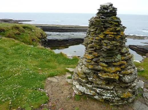
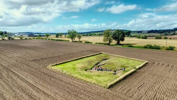
Bowser's Knowe is associated with the rich Neolithic archaeological landscape of Westray in Orkney.

The site belongs to the broader tradition of prehistoric cairns that transformed the island landscape into a network of monuments connected with burial, ancestry, and community identity.

Neolithic Westray

Westray was home to farming communities approximately 5,000 years ago.

The island provided:

  • fertile soils;

  • grazing;

  • freshwater;

  • marine resources;

  • and building stone.

The Cairn Tradition

Stone cairns could serve several purposes.

They might function as:

  • burial monuments;

  • memorials;

  • landmarks;

  • or ritual spaces.

Monument Construction

Constructing a cairn required coordinated labor.

People needed to:

  • gather stone;

  • transport it;

  • arrange internal structures;

  • and build the outer mound.

Burial

Human remains found in prehistoric cairns demonstrate that the dead could remain physically present within the community's landscape.

Ancestors

The monument could help maintain relationships between:

  • living people;

  • ancestors;

  • and territory.

This relationship may have reinforced social identity.

Landscape Visibility

A cairn visible from surrounding fields could act as a permanent landmark.

It could mark:

  • a sacred place;

  • a territorial boundary;

  • or an ancestral location.

Farming Communities

The builders cultivated crops and raised livestock.

They also exploited marine resources.

This mixed economy helped them survive the island's changing seasons.

Connections to Other Sites

Westray contains several important prehistoric sites.

These demonstrate that the island participated in the wider cultural world of Neolithic Orkney.

Why Bowser's Knowe Matters

The cairn contributes to the archaeological picture of Westray as a landscape shaped by both domestic settlement and ceremonial activity.

Conclusion

Bowser's Knowe represents the enduring importance of monuments in Neolithic Westray.

The cairn transformed stone into a permanent reminder of the dead and helped connect communities to their ancestors and landscape.
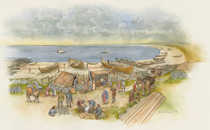
Links House: Westray's Neolithic Village

August 31, 2026

Links House is associated with the prehistoric settlement landscape of Westray and contributes to the island's exceptional record of Neolithic domestic architecture.

The site provides evidence for how farming communities organized their houses, food production, craft activities, and relationships with the surrounding environment.

A Neolithic Village

Unlike isolated tombs, a village provides evidence for everyday life.

Domestic archaeology can reveal:

  • cooking;

  • sleeping;

  • farming;

  • storage;

  • craft production;

  • and household relationships.

Stone Architecture

The houses were constructed from stone.

Orkney's limited woodland made stone a practical building material.

Stone houses were:

  • durable;

  • well insulated;

  • and resistant to the island's harsh weather.

Household Organization

A Neolithic house could contain different functional spaces.

These might include:

  • sleeping platforms;

  • hearths;

  • storage;

  • work areas;

  • and entrances.

Agriculture

The inhabitants practiced farming.

They cultivated cereals and raised livestock.

Barley was especially important in northern prehistoric agriculture.

Animal Husbandry

Livestock provided:

  • meat;

  • milk;

  • hides;

  • bones;

  • and possibly traction.

Animal management was a major part of household life.

Marine Resources

The village's location allowed people to exploit the sea.

Fish, shellfish, seabirds, and marine mammals could supplement agricultural food.

Pottery and Tools

Ceramics and stone tools reveal everyday activities.

Tools could be used for:

  • cutting;

  • grinding;

  • woodworking;

  • hunting;

  • and food preparation.

Community Life

A village represents more than individual households.

People had to cooperate in:

  • agriculture;

  • construction;

  • animal management;

  • and resource collection.

Cultural Connections

Westray's settlements shared architectural and artistic traditions with other Orkney communities.

This demonstrates that the islands were connected culturally.

Why Links House Matters

The settlement helps place Westray's famous monuments within their social context.

The people who constructed tombs and ceremonial structures also needed ordinary homes, farms, tools, and food systems.

Conclusion

Links House contributes to the understanding of everyday Neolithic life in Orkney.

Its domestic evidence demonstrates that prehistoric communities were not defined only by their monuments.

Behind every tomb and stone circle were households that farmed, cooked, worked, raised animals, and maintained relationships with their neighbors.

Pierowall: Westray's Viking Age Cemetery

August 31, 2026

Pierowall, on the island of Westray in Orkney, forms part of the island's important Viking and medieval archaeological landscape.

The cemetery evidence associated with Pierowall helps illuminate the transformation of Orkney under Norse influence and the development of Christian burial practices.

Westray in the Viking Age

During the Viking Age, Norse settlers established communities throughout Orkney.

They introduced or strengthened traditions associated with:

  • Norse language;

  • law;

  • maritime culture;

  • farming;

  • and religion.

Viking Cemeteries

Burial sites are particularly useful for studying past societies because human remains can reveal information about:

  • age;

  • sex;

  • health;

  • diet;

  • mobility;

  • and ancestry.

Pagan and Christian Traditions

The Viking Age was a period of religious transformation.

Earlier Norse pagan practices eventually gave way to Christianity.

This transition affected:

  • burial orientation;

  • grave goods;

  • cemetery organization;

  • and funerary rituals.

Grave Goods

Earlier Viking burials could contain objects such as:

  • weapons;

  • jewelry;

  • tools;

  • combs;

  • and personal equipment.

Christian burials generally placed less emphasis on grave goods.

This makes burial archaeology useful for studying religious change.

Maritime Identity

Westray's island environment meant that maritime culture remained important.

People depended on the sea for:

  • fishing;

  • transportation;

  • trade;

  • and communication.

Farming

Norse communities also practiced agriculture.

They raised:

  • cattle;

  • sheep;

  • pigs;

  • and other livestock.

They cultivated crops suited to Orkney's climate.

Church and Community

The spread of Christianity created new institutions.

Churches and cemeteries became important centers of community life.

Burial within a Christian cemetery could communicate membership in the Christian community.

Archaeological Science

Modern researchers can analyze human remains using:

  • isotopic studies;

  • DNA;

  • osteological examination;

  • and radiocarbon dating.

These techniques can reveal movement and relationships that are invisible from grave architecture alone.

Continuity With Earlier Populations

The arrival of Norse settlers did not necessarily mean that the existing population disappeared.

Archaeological and genetic evidence from the North Atlantic suggests that Scandinavian settlers interacted with existing communities.

The precise balance between migration and local continuity varied between places.

Why Pierowall Matters

The cemetery helps demonstrate how Westray changed from a prehistoric farming landscape into a Norse medieval community.

It provides evidence for:

  • migration;

  • religious transformation;

  • burial customs;

  • maritime society;

  • and cultural integration.

Conclusion

Pierowall's Viking Age cemetery is an important part of Westray's long archaeological history.

The graves preserve evidence of a society undergoing profound cultural transformation.

Norse settlers brought new languages, political traditions, and religious practices, while island communities continued to depend on the land and sea.

The cemetery therefore represents not simply death, but the transformation of Westray into an important part of the medieval Norse world.

Pierowall Kirk: Westray's Medieval Church Ruins

August 31, 2026

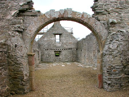
Pierowall Kirk, located on the island of Westray in Orkney, is an important part of the island's medieval religious landscape. The surviving church remains provide evidence for the spread and development of Christianity in an island society that had previously been deeply influenced by Norse culture and religion.

The ruins are particularly valuable because they represent the transformation of Westray from a Viking-age community into a Christian medieval society.

Christianity Comes to Orkney

Christianity gradually became established in Orkney during the Viking Age and early medieval period.

The transition was not instantaneous.

For generations, Christian beliefs existed alongside older Norse religious traditions.

Eventually, Christianity became the dominant religious system.

The Church as a Community Center

A medieval church was more than a building for worship.

It could serve as a center for:

  • baptism;

  • marriage;

  • burial;

  • prayer;

  • festivals;

  • and community gatherings.

The church therefore played an important role in organizing social life.

Stone Construction

Medieval churches in Orkney were commonly constructed from locally available stone.

Stone was an ideal material because it was:

  • durable;

  • abundant;

  • resistant to weather;

  • and capable of supporting substantial walls.

The Norse-Christian Transition

Westray had been part of the Norse world for centuries.

The adoption of Christianity transformed burial traditions and religious practices.

Earlier pagan burials could include weapons and other objects.

Christian cemeteries generally emphasized burial within consecrated ground.

The Medieval Parish

As Christianity became institutionalized, churches became associated with organized parishes.

A parish could include:

  • farms;

  • villages;

  • crofts;

  • and surrounding communities.

The church therefore served a broad geographic population.

Burial

Churchyards were important places of burial.

Being buried in or near a church could communicate membership in the Christian community.

Graves also created physical connections between generations.

Architecture

The surviving remains can reveal:

  • wall construction;

  • doorway arrangements;

  • floor levels;

  • and later modifications.

Architectural changes may indicate rebuilding or changing religious needs.

Westray's Medieval Landscape

Pierowall was not isolated.

The island contained:

  • farms;

  • harbors;

  • cemeteries;

  • churches;

  • and earlier archaeological sites.

The church formed one component of this broader settlement system.

Archaeological Importance

Medieval churches can preserve evidence for social changes that written records may not fully document.

Archaeologists can study:

  • building materials;

  • graves;

  • ceramics;

  • metal objects;

  • and architectural phases.

Why Pierowall Kirk Matters

The church represents the long-term transformation of Westray.

The island moved from a society strongly influenced by Norse pagan traditions toward a Christian medieval political and social system.

Conclusion

Pierowall Kirk's ruins preserve evidence of an important stage in Westray's history.

The church became part of a Christian landscape in which worship, burial, community identity, and local administration were closely connected.

Its remains demonstrate how religious transformation could reshape the physical landscape as well as the beliefs of the people who lived there.

Noup Head: Westray's Iron Age Fort

August 31, 2026

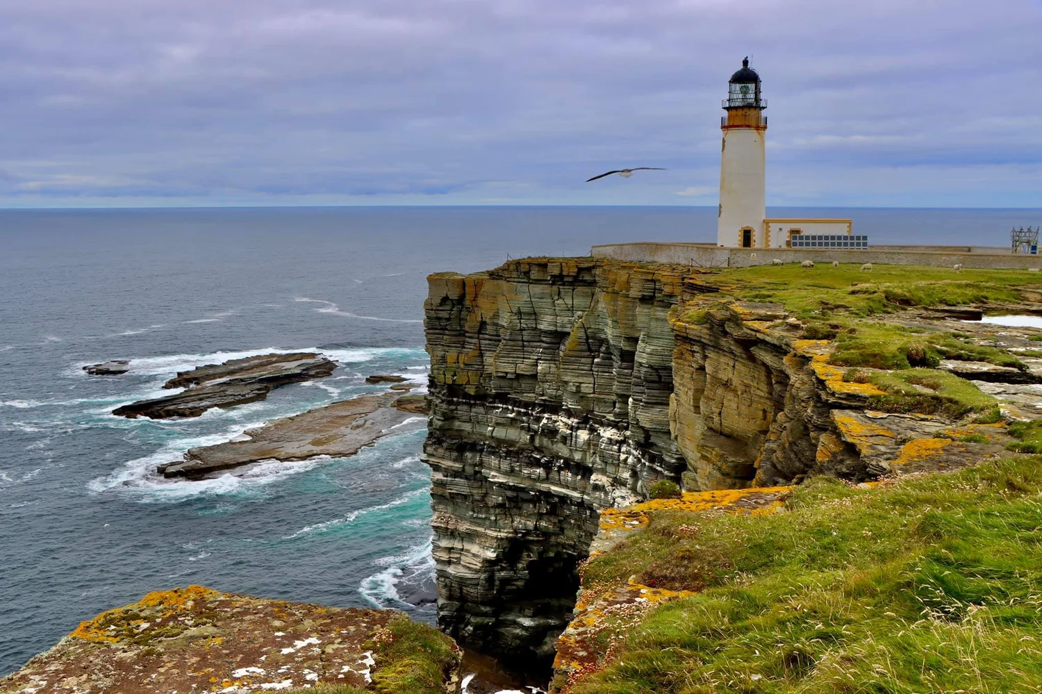
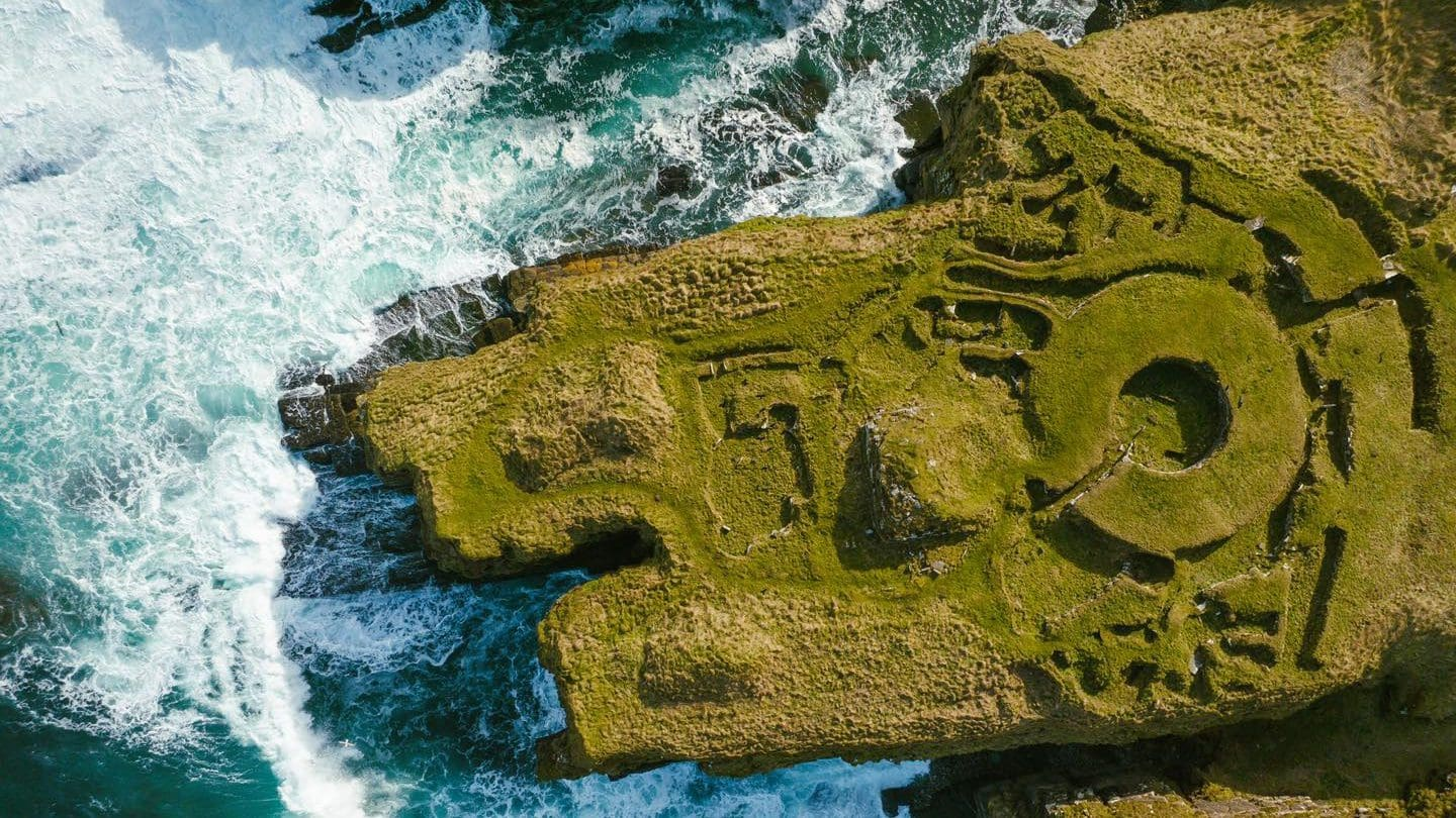
Noup Head, on the western coast of Westray, forms part of a dramatic archaeological landscape where prehistoric settlement and defensive structures are associated with the island's rugged coastal cliffs.

Iron Age forts in northern Scotland demonstrate how communities used naturally defensible landscapes to protect settlements and control access to strategic locations.

The Iron Age in Orkney

The Iron Age followed the Bronze Age and was characterized by increasing use of iron technology.

Communities developed:

  • iron tools;

  • weapons;

  • fortified settlements;

  • farming systems;

  • and increasingly complex social structures.

Coastal Fortifications

Coastal cliffs provided natural defenses.

A settlement positioned near a cliff could be protected on one or more sides by steep drops.

Additional walls or banks could strengthen the defensive position.

Why Build a Fort?

A fort could serve several purposes.

It might provide:

  • protection;

  • a settlement;

  • a place of refuge;

  • control over territory;

  • or a symbol of social authority.

Not every fort was necessarily occupied during warfare.

The Importance of Location

Noup Head overlooks the surrounding sea and coastline.

From elevated positions, inhabitants could observe:

  • approaching boats;

  • movement along the coast;

  • and surrounding territory.

Iron Age Agriculture

People living in fortified settlements remained dependent on agriculture.

They raised:

  • cattle;

  • sheep;

  • pigs;

  • and other animals.

They also cultivated cereals.

Ironworking

Iron tools were particularly useful for:

  • woodworking;

  • agriculture;

  • hunting;

  • and warfare.

Iron production required specialized knowledge of:

  • ore;

  • charcoal;

  • furnace construction;

  • and metalworking.

Social Organization

Building defensive walls required coordinated labor.

This may indicate the presence of organized communities capable of collective projects.

Coastal Resources

The inhabitants also had access to marine resources.

Fishing and shellfish collection supplemented farming.

Why Noup Head Matters

Coastal forts provide insight into Iron Age settlement strategies.

They show that communities were actively managing:

  • security;

  • territory;

  • resources;

  • and social organization.

Conclusion

Noup Head's Iron Age landscape demonstrates how prehistoric communities used Orkney's natural geography to their advantage.

The combination of cliffs, defensive structures, agriculture, and maritime resources created settlements capable of surviving in a challenging environment.

Castle o'Burrian: Westray's Broch Remains

August 31, 2026

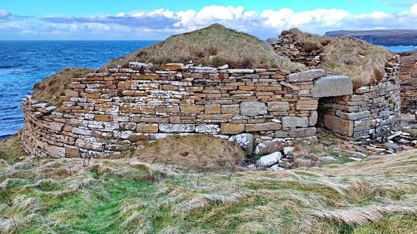
Castle o'Burrian is a prehistoric archaeological site on Westray associated with the Iron Age settlement tradition of northern Scotland.

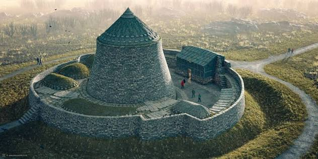
Its remains are particularly valuable for understanding the distinctive architectural tradition of brochs, monumental stone towers that developed during the Iron Age.

What Is a Broch?

A broch is a large, circular stone structure characteristic of northern Scotland.

Brochs are often:

  • thick-walled;

  • internally hollow;

  • and built with carefully layered stone.

Some contained:

  • staircases;

  • galleries;

  • chambers;

  • and multiple floors.

Engineering

Broch builders used a technique known as double-wall construction.

Two stone walls were built with a gap between them.

This could create:

  • internal galleries;

  • stairways;

  • storage areas;

  • and structural stability.

Why Build So Tall?

The height of brochs remains debated.

Possible functions include:

  • defense;

  • status display;

  • elite residence;

  • community refuge;

  • or a combination of these.

Westray's Environment

Westray provided:

  • fertile farmland;

  • coastal resources;

  • and abundant stone.

These resources supported substantial settlements.

Agriculture

Broch communities relied on farming.

They raised:

  • cattle;

  • sheep;

  • pigs;

  • and possibly horses.

Cereal cultivation was also important.

Marine Resources

Fishing and coastal gathering supplemented agriculture.

The surrounding waters provided:

  • fish;

  • shellfish;

  • seabirds;

  • and marine mammals.

Social Status

The enormous investment required to build a broch may have demonstrated the power or prestige of its builders.

A monumental tower could communicate:

  • wealth;

  • authority;

  • security;

  • and group identity.

Iron Age Society

Brochs existed within complex societies.

Communities may have been organized around:

  • households;

  • local leaders;

  • kinship groups;

  • and territorial alliances.

Archaeological Evidence

Broch sites can contain:

  • pottery;

  • animal bones;

  • iron objects;

  • stone tools;

  • and structural remains.

These materials help reconstruct daily life.

Why Castle o'Burrian Matters

The site contributes to the understanding of Iron Age architecture in Orkney.

It demonstrates that Westray participated in broader northern Scottish traditions of monumental stone construction.

Conclusion

Castle o'Burrian represents the remarkable architectural abilities of Iron Age communities.

Broch construction required careful planning, engineering knowledge, and substantial labor.

The monument therefore provides evidence not only for defense, but also for the social organization and technological capabilities of prehistoric Westray.

Grobust: Westray's Neolithic Settlement

August 31, 2026

Grobust is part of Westray's exceptionally rich archaeological record and is associated with the island's Neolithic settlement landscape.

Sites such as Grobust are important because they shift attention away from monumental tombs and toward the communities that actually lived, farmed, cooked, worked, and raised families in prehistoric Orkney.

Neolithic Westray

Approximately 5,000 years ago, Westray supported farming communities.

These people practiced a mixed economy involving:

  • agriculture;

  • livestock;

  • fishing;

  • shellfish gathering;

  • and hunting.

Houses

Neolithic houses in Orkney were commonly built from stone.

Their walls could be substantial enough to survive for thousands of years.

Domestic Spaces

A typical house might contain:

  • hearths;

  • sleeping platforms;

  • storage compartments;

  • work areas;

  • and entrances.

These features provide evidence for household organization.

Agriculture

Cereal cultivation was essential.

Barley was particularly suitable for Orkney's cool climate.

Grinding stones were used to process grain.

Livestock

Animals provided multiple resources.

Cattle and sheep could supply:

  • meat;

  • milk;

  • hides;

  • and bones.

Marine Resources

The surrounding coastline offered additional food.

People could collect:

  • shellfish;

  • fish;

  • seabirds;

  • and other marine resources.

Pottery

Pottery fragments reveal food-processing traditions.

Vessels could be used for:

  • cooking;

  • storage;

  • and serving.

Tools

Stone tools were used for:

  • cutting;

  • grinding;

  • woodworking;

  • and hunting.

Social Organization

A settlement required cooperation.

People had to coordinate:

  • farming;

  • construction;

  • food storage;

  • livestock management;

  • and resource gathering.

Why Grobust Matters

The site contributes to the understanding of everyday Neolithic life in Westray.

It demonstrates that prehistoric Orkney was not defined solely by its monumental tombs and stone circles.

Conclusion

Grobust provides evidence for the domestic foundations of Neolithic society.

Its settlement landscape reflects a community that successfully combined farming, livestock management, and marine exploitation.

The site helps reconstruct the everyday world behind Orkney's famous monuments.

Crosskirk Broch: Caithness's Iron Age Tower

August 31, 2026

The Crosskirk Broch, located in Caithness in northern Scotland, is an important example of Iron Age monumental architecture.

The broch tradition represents one of the most distinctive architectural developments in northern Britain.

Crosskirk demonstrates the ability of Iron Age communities to construct massive stone towers while maintaining agricultural and maritime economies.

The Broch Tradition

Brochs are primarily found in:

  • Caithness;

  • Sutherland;

  • Orkney;

  • Shetland;

  • and the northern Scottish mainland.

They generally date to the Iron Age.

Construction

Crosskirk's builders constructed thick stone walls.

The double-wall technique created a hollow internal structure.

Within these walls, builders could incorporate:

  • stairways;

  • galleries;

  • and small chambers.

Defensive Possibilities

The strength and height of broch architecture suggest defensive considerations.

However, archaeologists increasingly recognize that brochs probably had multiple functions.

They may have served as:

  • residences;

  • status symbols;

  • defensive structures;

  • or gathering places.

Agriculture

Broch communities were agricultural.

They cultivated cereals and raised livestock.

Animal husbandry was particularly important in the northern Scottish environment.

Iron Technology

Iron tools allowed people to improve:

  • woodworking;

  • agriculture;

  • hunting;

  • and construction.

Iron weapons also played an important role in Iron Age society.

Coastal Resources

Caithness provided access to the sea.

Fishing and marine gathering could supplement agricultural food supplies.

Social Hierarchy

The monumental scale of a broch may indicate social inequality.

Some individuals or groups may have controlled:

  • land;

  • livestock;

  • trade;

  • or labor.

Visibility

A tall stone tower would have been highly visible.

It could therefore communicate:

  • power;

  • identity;

  • territorial control;

  • and prestige.

Why Crosskirk Matters

Crosskirk helps archaeologists understand the relationship between architecture and social organization during the Iron Age.

Conclusion

Crosskirk Broch demonstrates that Iron Age communities in Caithness possessed impressive engineering capabilities.

Its massive stone walls were not simply defensive structures.

The broch likely served as a center of household activity, social identity, and political authority within its surrounding landscape.

Nybster Broch: Caithness's Wheelhouse Settlement

August 31, 2026

Nybster Broch is one of Caithness's most fascinating Iron Age sites.

The complex is associated with both broch architecture and later settlement traditions, including the distinctive wheelhouse form.

The site provides evidence for architectural development and changing patterns of settlement in northern Scotland.

The Wheelhouse

A wheelhouse is a circular stone building with internal radial partitions.

The walls create spaces that resemble the spokes of a wheel.

These internal divisions give the structure its name.

Architectural Innovation

Wheelhouses represent an adaptation of the circular architectural tradition.

Instead of one large open interior, the space was divided into multiple compartments.

These could have served:

  • household;

  • storage;

  • craft;

  • or livestock functions.

The Broch Connection

Some wheelhouses were built within or around earlier broch structures.

This demonstrates that later communities reused existing architectural landscapes.

Reuse of Ancient Buildings

Reusing a monumental structure can provide practical advantages.

Existing walls could:

  • save labor;

  • provide shelter;

  • offer defensive protection;

  • or hold symbolic importance.

Iron Age Caithness

Caithness supported farming communities.

People cultivated cereals and raised livestock.

They also exploited marine resources.

Stone Architecture

The scarcity of timber encouraged sophisticated stone construction.

Walls could be:

  • thick;

  • carefully fitted;

  • and structurally complex.

Household Life

Wheelhouses likely contained multiple activity areas.

Evidence may include:

  • pottery;

  • animal bones;

  • tools;

  • and hearths.

Social Change

The transformation from broch-centered architecture to wheelhouse settlements may reflect broader changes in:

  • society;

  • economy;

  • political organization;

  • or household structure.

Why Nybster Matters

Nybster provides evidence for architectural evolution.

It demonstrates that prehistoric communities did not simply abandon older traditions.

They modified and reused them.

Conclusion

Nybster Broch and its wheelhouse settlement illustrate the dynamic nature of Iron Age architecture in Caithness.

The site preserves evidence for technological skill, domestic organization, and the reuse of monumental structures across generations.

Ousdale Broch: Sutherland's Coastal Tower

August 31, 2026

The Ousdale Broch in Sutherland is an important example of northern Scotland's Iron Age tower architecture.

Its coastal setting highlights how prehistoric communities combined monumental stone construction with agricultural and maritime resources.

A Coastal Broch

Ousdale occupies a landscape where land and sea resources were closely connected.

A coastal position could provide:

  • fishing;

  • shellfish;

  • seabirds;

  • transportation;

  • and strategic visibility.

The Broch Structure

Brochs were built with thick double walls.

The internal wall space could contain:

  • stairs;

  • galleries;

  • storage;

  • and small chambers.

Engineering

Constructing a stable tower from dry stone required considerable skill.

Builders had to understand:

  • stone weight;

  • pressure;

  • wall thickness;

  • and structural stability.

Defense

The tower's height and thick walls could provide protection.

But defense was probably only one function.

Status and Power

The monumental appearance of a broch could demonstrate the importance of the community or household that controlled it.

It may have functioned as a visible statement of authority.

Agriculture

The surrounding land supported:

  • grazing;

  • cereal cultivation;

  • and livestock management.

Marine Economy

The sea provided complementary resources.

Fishing could supply protein throughout the year.

Regional Connections

Brochs were part of a wider architectural tradition extending across northern Scotland.

Their distribution indicates cultural connections among communities separated by considerable distances.

Why Ousdale Matters

The site demonstrates how prehistoric communities adapted monumental architecture to coastal landscapes.

Conclusion

Ousdale Broch reflects the engineering skill and social organization of Iron Age Sutherland.

Its combination of monumental stone construction, coastal resources, and agricultural surroundings demonstrates how prehistoric communities built complex societies around both land and sea.

Strath Steamer: Sutherland's Viking Grave

August 31, 2026

The Strath Steamer archaeological landscape in Sutherland is associated with evidence of Viking Age activity and burial traditions in northern Scotland.

Viking graves are particularly valuable because they provide evidence for the movement of Scandinavian people and ideas into Scotland.

Viking Expansion

From the late eighth century onward, Scandinavian seafarers expanded throughout the North Atlantic.

They established settlements in:

  • Orkney;

  • Shetland;

  • the Hebrides;

  • Ireland;

  • Iceland;

  • and other regions.

Sutherland

Northern mainland Scotland became part of this wider Scandinavian sphere.

Norse influence affected:

  • language;

  • place names;

  • political organization;

  • trade;

  • and burial customs.

Viking Burial

Viking graves can contain:

  • weapons;

  • jewelry;

  • tools;

  • domestic objects;

  • and animal remains.

The objects provide clues about the identity of the deceased.

Maritime Culture

The sea was fundamental to Viking society.

Ships enabled:

  • migration;

  • trade;

  • warfare;

  • fishing;

  • and communication.

A person buried with maritime-related objects could have had strong connections to this lifestyle.

Norse and Local Communities

The arrival of Norse settlers did not necessarily mean the complete replacement of local populations.

Interaction could involve:

  • intermarriage;

  • trade;

  • political alliances;

  • and cultural exchange.

Christianity

Viking society gradually became Christian.

This transformation changed burial customs.

Earlier graves might contain extensive grave goods.

Later Christian burials generally became less focused on objects.

Archaeological Science

Human remains can reveal:

  • diet;

  • geographic origins;

  • health;

  • age;

  • and ancestry.

Isotopic analysis can sometimes determine whether a person grew up locally or elsewhere.

Why Viking Graves Matter

Burials provide evidence that written historical sources cannot always provide.

They reveal the identities and lifestyles of ordinary people who may never have appeared in surviving documents.

Conclusion

The Viking-associated archaeological evidence of Sutherland contributes to a larger story of Scandinavian expansion into northern Scotland.

It demonstrates that Viking influence was not simply military.

It transformed communities through settlement, trade, family relationships, language, religion, and cultural exchange.

Badachro: Ross-shire's Neolithic Cairn

August 31, 2026

Badachro, in the northwest Highlands of Scotland, lies within a landscape rich in prehistoric archaeological remains.

Neolithic cairns and monuments in this region provide evidence for early farming communities and their changing relationships with the Highland environment.

The Neolithic Highlands

The Neolithic period brought significant changes to Scotland.

Communities increasingly practiced:

  • agriculture;

  • livestock management;

  • pottery production;

  • and monument construction.

Cairns

A cairn is a mound constructed primarily from stones.

In the Neolithic, cairns could serve as:

  • burial monuments;

  • ceremonial locations;

  • landmarks;

  • or territorial markers.

Burial

Human remains within prehistoric cairns can reveal information about:

  • age;

  • sex;

  • health;

  • diet;

  • and population relationships.

Monumental Labor

Constructing a cairn required organized labor.

People had to gather and move large quantities of stone.

This demonstrates community cooperation.

Highland Environment

The Highlands provided:

  • grazing;

  • freshwater;

  • forests;

  • rivers;

  • and coastal resources.

Neolithic communities adapted their economies to local conditions.

Farming

Cereal cultivation was possible in suitable areas.

Livestock were particularly important.

Cattle and sheep could provide:

  • meat;

  • milk;

  • hides;

  • and other products.

The Meaning of Monuments

A cairn transformed an ordinary part of the landscape into a place associated with the ancestors.

Such monuments could establish a relationship between:

  • community;

  • territory;

  • and memory.

Why Badachro Matters

The site contributes to the broader archaeological understanding of Neolithic settlement and funerary traditions in the northwest Highlands.

Conclusion

The Neolithic cairn landscape around Badachro demonstrates that prehistoric Highland communities were actively reshaping their environment.

Through agriculture, settlement, and monument construction, they created lasting connections between their communities and the land.

Clach an Tiompain: Sutherland's Standing Stone

August 31, 2026

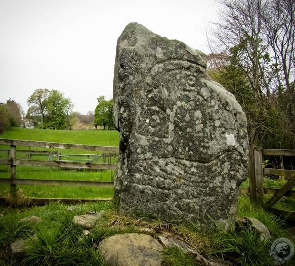
Clach an Tiompain, associated with the prehistoric landscape of Sutherland, represents the long tradition of standing-stone construction in northern Scotland.

Standing stones are among the most visually striking surviving monuments from prehistoric Britain.

Although their precise functions often remain uncertain, they clearly demonstrate that prehistoric communities deliberately placed large stones within meaningful landscapes.

What Is a Standing Stone?

A standing stone is a large stone intentionally erected vertically.

Unlike chambered tombs, standing stones often contain little obvious internal architecture.

Their meaning must therefore be interpreted through:

  • location;

  • orientation;

  • archaeological context;

  • and relationships with other monuments.

Construction

Raising a large stone required planning.

Workers had to:

  1. select the stone;

  2. transport it;

  3. prepare the ground;

  4. create a socket;

  5. raise the stone;

  6. and stabilize it.

Why Erect Standing Stones?

Several interpretations have been proposed.

They could mark:

  • territorial boundaries;

  • burial locations;

  • ceremonial spaces;

  • astronomical observations;

  • gathering places;

  • or significant routes.

A single stone may have served several purposes.

Landscape and Visibility

Standing stones were often deliberately positioned where they could be seen.

Their visibility could establish a connection between:

  • people;

  • landscape;

  • and monument.

Astronomy

Some prehistoric standing stones appear to have relationships with:

  • sunrise;

  • sunset;

  • solstices;

  • or lunar positions.

However, astronomical interpretations must be supported by evidence rather than assumed.

Social Cooperation

Moving and erecting large stones required communal effort.

The project could strengthen social bonds by bringing people together for a shared purpose.

Ritual

Standing stones may have been associated with ceremonies involving:

  • ancestors;

  • seasonal events;

  • communal gatherings;

  • or religious practices.

The exact rituals remain unknown.

Sutherland's Prehistoric Landscape

Sutherland contains a remarkable range of prehistoric monuments.

These include:

  • cairns;

  • stone rows;

  • settlements;

  • forts;

  • and standing stones.

Clach an Tiompain belongs to this broader cultural landscape.

Long-Term Memory

A standing stone can survive for thousands of years.

Even after the community that erected it disappeared, the monument remained.

Later societies could reinterpret or incorporate it into their own landscapes.

Why Clach an Tiompain Matters

The stone provides evidence for the ability of prehistoric communities to create enduring landmarks.

It demonstrates that people were not simply adapting to the natural landscape.

They were actively transforming it.

Conclusion

Clach an Tiompain represents one of the simplest yet most mysterious forms of prehistoric monument.

A single upright stone may appear uncomplicated, but its construction required planning and cooperation, while its location may have carried deep social or symbolic meaning.

Like many standing stones across Scotland, it remains a physical reminder of communities whose beliefs are largely lost but whose monuments continue to shape the landscape thousands of years later.

Clava Cairns: Inverness's Bronze Age Passage Graves

August 31, 2026

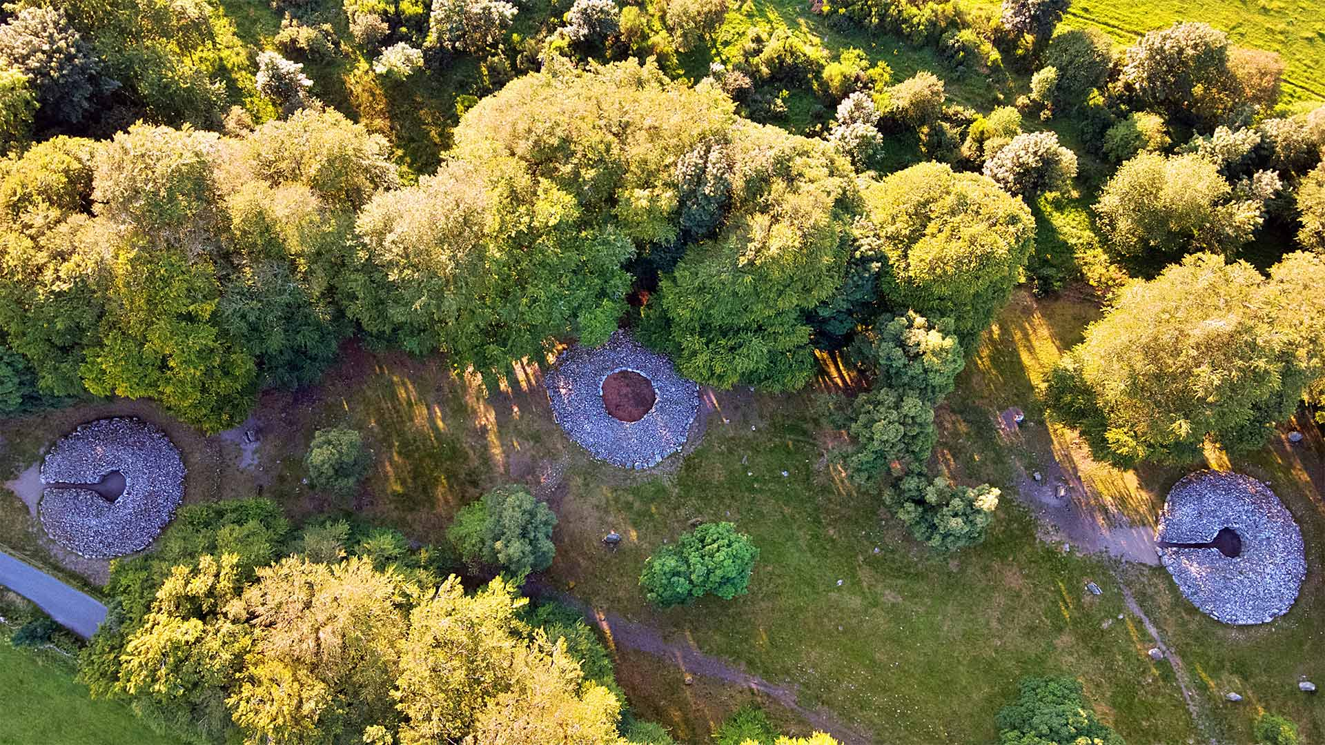
The Clava Cairns, located near Inverness in the Scottish Highlands, form one of Britain's most remarkable prehistoric ceremonial landscapes. Dating primarily to the Bronze Age, approximately 4,000 years ago, the complex contains passage graves, ring cairns, standing stones, kerbs, and other monumental features.

The site is particularly famous for its carefully constructed circular monuments and their possible relationships with the movement of the Sun.

Clava is also important because it demonstrates that Bronze Age communities continued to invest enormous effort in ceremonial architecture long after the Neolithic period had ended.

The Clava Landscape

The monuments stand on a terrace overlooking the River Nairn.

The location provides views across the surrounding Highland landscape.

The builders deliberately transformed this natural setting into a monumental environment.

Passage Graves

Some of the monuments contain passages leading into central chambers.

A passage grave consists of:

  • an entrance;

  • a narrow passage;

  • and an enclosed chamber.

The architecture controls movement between the outside world and the interior.

Ring Cairns

Other monuments consist of circular stone settings surrounded by banks or kerbs.

These are generally known as ring cairns.

Their precise function remains uncertain.

They may have been associated with:

  • burial;

  • ritual;

  • commemorative ceremonies;

  • or gatherings.

Standing Stones

Large standing stones are also present.

These stones create relationships between individual monuments.

Their positions may have been carefully planned.

Astronomy

One of the most famous features of the Clava complex is its possible relationship with the winter solstice.

The passages of some monuments appear to be aligned toward the southwest, where the setting Sun is visible around the winter solstice.

The Winter Solstice

The winter solstice marks the shortest day of the year in the Northern Hemisphere.

After the solstice, daylight begins gradually increasing again.

For prehistoric agricultural societies, seasonal changes were fundamental.

The Sun could therefore have carried considerable symbolic importance.

Burial

Human remains have been associated with some Clava monuments.

The dead may have been placed within the chambers during particular periods.

However, the exact funerary rituals remain uncertain.

The Role of Ancestors

The monuments may have provided places where communities interacted with ancestral remains.

This could reinforce:

  • family identity;

  • lineage;

  • territorial claims;

  • and social continuity.

Engineering

The monuments required substantial labor.

Builders had to:

  • quarry stone;

  • transport it;

  • construct chambers;

  • build walls;

  • and create massive outer cairns.

Why Clava Is Special

Clava's importance lies in the combination of architecture and astronomy.

The monuments appear to have been deliberately positioned within the landscape rather than built randomly.

Later Cultural Memory

Clava remained visible for thousands of years.

Later generations could have encountered the monuments and developed their own interpretations of them.

The site therefore represents a form of long-term landscape memory.

Conclusion

The Clava Cairns demonstrate the sophistication of Bronze Age communities in northern Scotland.

Their circular monuments, passage graves, standing stones, and possible solar alignments reveal a society deeply concerned with death, ancestry, seasons, and the landscape.

Clava remains one of Scotland's most extraordinary prehistoric ceremonial complexes.

Balnuaran of Clava: Inverness's Kerbed Cairns

August 31, 2026

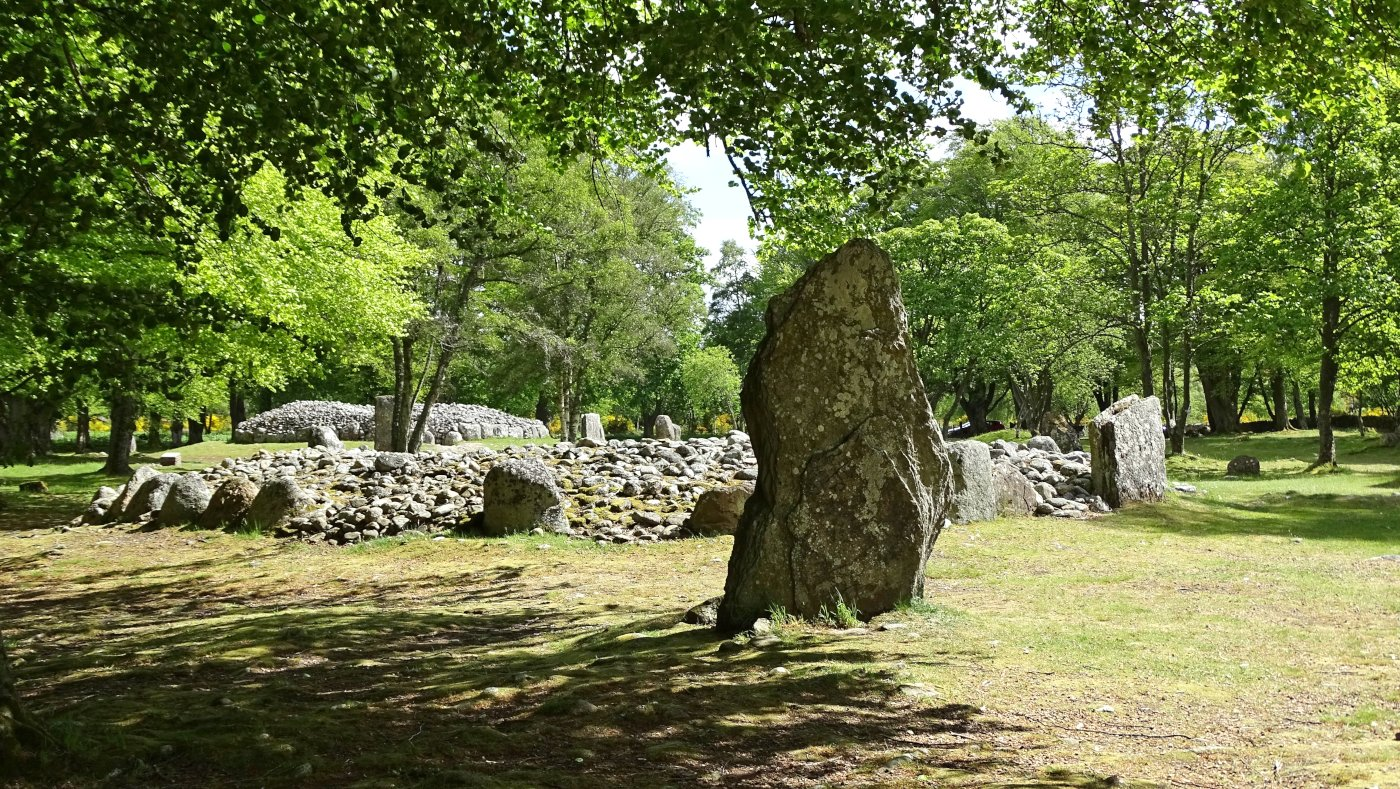
The Balnuaran of Clava is the best-preserved part of the Clava prehistoric complex near Inverness.

The site contains several monumental structures, including passage graves, ring cairns, standing stones, and carefully arranged kerbstones.

Its remarkable preservation provides an unusually clear picture of Bronze Age monumental architecture.

What Is a Kerbed Cairn?

A kerb is a line of stones forming the outer edge of a monument.

At Clava, large stones were carefully arranged around the circumference of cairns.

These stones created a deliberate boundary between the monument and its surroundings.

Circular Geometry

The circular design required careful planning.

Builders needed to determine:

  • the center;

  • the circumference;

  • stone spacing;

  • and the position of entrances.

This indicates considerable practical knowledge of geometry.

Passage Graves

Two of the best-known monuments at Balnuaran of Clava are passage graves.

Their passages point toward the southwest.

The orientation is significant because the setting Sun around the winter solstice appears along this direction.

Solar Alignment

The winter-solstice sunset may have illuminated the interior of the tomb.

This creates a striking connection between:

  • sunlight;

  • darkness;

  • death;

  • and seasonal renewal.

The Meaning of Light

We cannot know exactly what Bronze Age people believed.

However, the deliberate control of light entering the monument suggests that the movement of the Sun may have been meaningful.

Light entering a dark chamber could have created a powerful ceremonial experience.

Ring Cairns

Balnuaran also contains ring-shaped monuments without the same internal passage arrangement.

These structures demonstrate that different forms of ritual architecture existed within the same complex.

Standing Stones

Standing stones surround or accompany the monuments.

Their arrangement creates visual relationships between different parts of the complex.

Construction

Local stones were used extensively.

The builders carefully selected and arranged stones of different sizes.

Some of the larger blocks required considerable effort to transport.

Burial Practices

The monuments were associated with funerary activity.

However, the exact number of burials and sequence of use remain subjects of archaeological investigation.

Why the Site Was Important

Balnuaran was likely more than a cemetery.

The monuments may have hosted:

  • ceremonies;

  • seasonal gatherings;

  • remembrance rituals;

  • and community activities.

Conclusion

Balnuaran of Clava provides one of the clearest examples of Bronze Age monumental planning in Scotland.

Its kerbed cairns, passage graves, standing stones, and solar orientations demonstrate an extraordinary combination of engineering, geometry, ritual, and landscape planning.

Culsh Earth House: Aberdeenshire's Souterrain

August 31, 2026

The Culsh Earth House, in Aberdeenshire, belongs to a distinctive category of prehistoric underground structures known as souterrains.

These structures are particularly fascinating because they were deliberately constructed beneath the ground.

Their exact purpose remains debated, but archaeological evidence suggests they could have been associated with storage, domestic activities, or other functions.

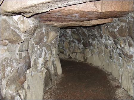
What Is a Souterrain?

The word souterrain means “underground.”

In Scottish archaeology, it refers to an underground or partially underground stone-built structure associated primarily with later prehistoric settlements.

Construction

A typical souterrain could contain:

  • a narrow entrance;

  • stone walls;

  • a low roof;

  • and a subterranean chamber.

The confined architecture would have required careful construction.

Why Go Underground?

Several explanations have been proposed.

Underground structures could provide:

  • stable temperatures;

  • protection from weather;

  • secure storage;

  • and concealment.

Storage

One of the strongest possibilities is food storage.

Cool, stable environments can slow spoilage.

The underground chamber could therefore have helped protect:

  • grain;

  • dairy products;

  • meat;

  • or other food.

However, not every souterrain necessarily served as a storage cellar.

Ritual Possibilities

Some underground structures may have had symbolic significance.

Entering darkness and returning to daylight could have carried ritual meaning.

Archaeologists therefore consider both practical and symbolic interpretations.

Iron Age Communities

Souterrains are commonly associated with Iron Age and later prehistoric settlements.

These communities practiced:

  • agriculture;

  • livestock raising;

  • craft production;

  • and trade.

Farming

Cereal crops and livestock were important.

Animals provided:

  • meat;

  • milk;

  • hides;

  • and labor.

Tools and Pottery

Artifacts found in souterrains can include:

  • pottery;

  • stone tools;

  • metal objects;

  • and food remains.

These provide clues about their use.

Social Organization

Building underground structures required substantial labor.

This indicates that prehistoric households could undertake significant construction projects.

Why Culsh Matters

Culsh contributes to our understanding of prehistoric underground architecture in northeastern Scotland.

It demonstrates that Iron Age communities were capable of manipulating the landscape beneath their settlements as well as building structures above ground.

Conclusion

The Culsh Earth House is a fascinating example of prehistoric subterranean architecture.

Whether primarily used for storage, domestic activity, ritual, or a combination of functions, the structure demonstrates the ingenuity of Iron Age communities.

Ardestie Earth House: Angus's Iron Age Underground

August 31, 2026

The Ardestie Earth House in Angus is one of Scotland's best-known examples of an Iron Age souterrain.

The structure consists of a long underground passage and chamber constructed from large stones.

Its preservation offers an unusual opportunity to examine how prehistoric communities used underground architecture.

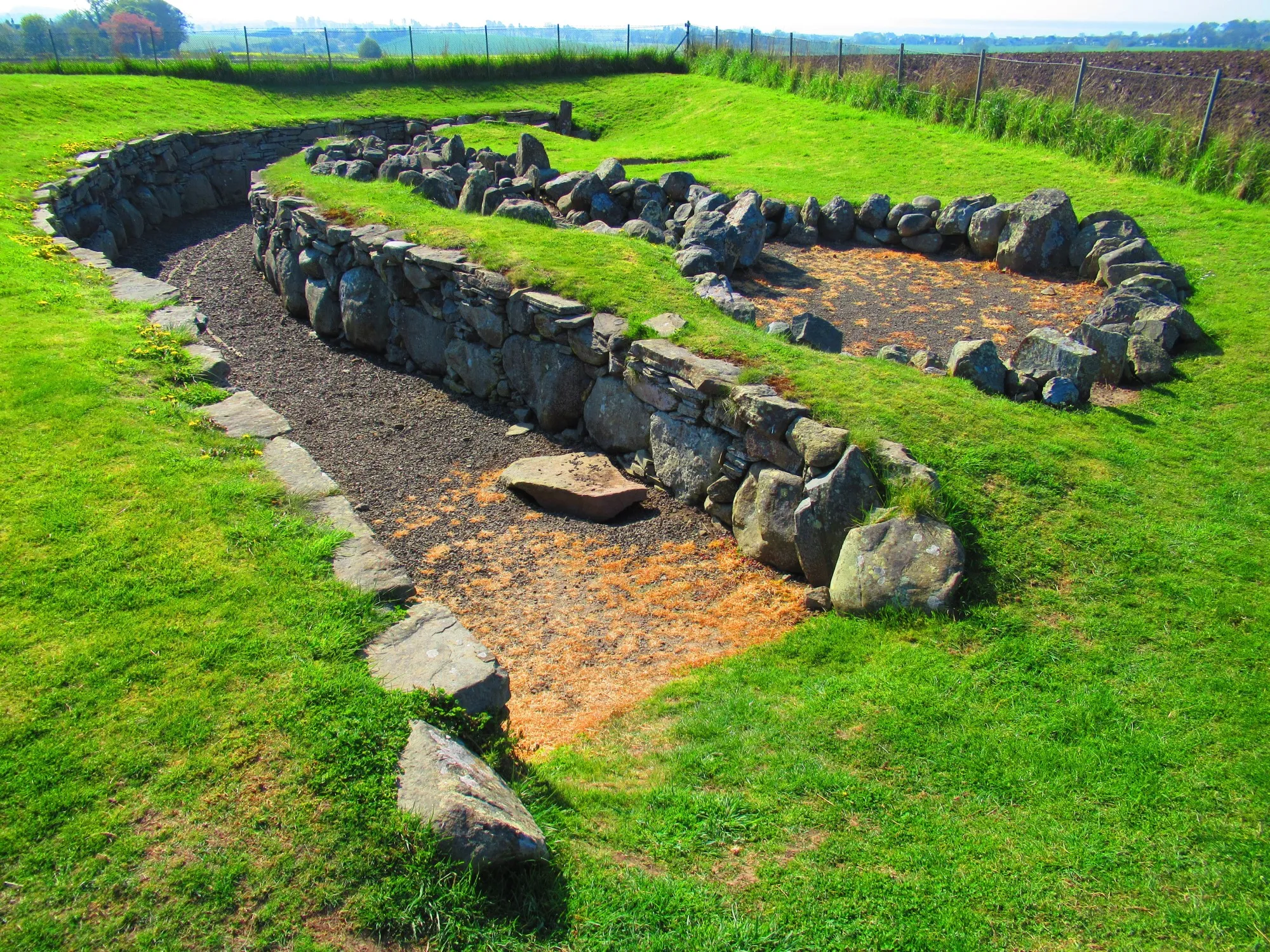
An Underground Structure

Ardestie was deliberately built below ground.

The walls consist of carefully arranged stone slabs.

The roof was supported by large stones placed across the passage.

The Entrance

A narrow entrance provided access to the subterranean chamber.

The restricted opening may have helped regulate:

  • access;

  • temperature;

  • and security.

Possible Storage

The underground environment would have remained relatively cool and stable.

This could have made it suitable for storing food.

Food Preservation

Before refrigeration, controlling temperature was important.

Underground environments naturally provide:

  • shade;

  • insulation;

  • and relatively stable temperatures.

This could slow decomposition.

Iron Age Farming

The community associated with Ardestie likely depended heavily on agriculture.

They cultivated crops and raised livestock.

Animal Husbandry

Livestock provided:

  • meat;

  • milk;

  • hides;

  • bones;

  • and labor.

Pottery

Iron Age pottery can help identify activity within the structure.

Vessels could have been used for:

  • storage;

  • cooking;

  • and food preparation.

The Purpose Debate

Archaeologists continue to debate the exact function of souterrains.

Possible interpretations include:

  • storage;

  • refuge;

  • workshop;

  • ritual space;

  • or specialized household activity.

The answer may differ from one site to another.

Landscape Context

Ardestie existed within a wider agricultural landscape.

The underground structure was not isolated.

It formed part of a settlement system containing fields, houses, livestock areas, and other structures.

Why Ardestie Matters

Ardestie demonstrates that Iron Age communities in Scotland used sophisticated techniques to manipulate underground space.

Conclusion

The Ardestie Earth House is an impressive example of prehistoric engineering.

Its underground architecture demonstrates practical knowledge of construction and environmental conditions while raising fascinating questions about food storage, security, domestic life, and ritual.

Tealing Earth House: Angus's Subterranean Storage

August 31, 2026

The Tealing Earth House in Angus is another important example of Scottish Iron Age subterranean architecture.

Its underground passage and stone construction provide evidence for the technological capabilities of prehistoric communities and their ability to create controlled environments beneath the surface.

Underground Architecture

Tealing consists of a subterranean passage or chamber constructed using stone.

The structure required careful engineering because the builders had to prevent the roof and walls from collapsing.

Temperature Control

Underground spaces naturally maintain more stable temperatures than exposed buildings.

This makes them potentially useful for:

  • food storage;

  • preservation;

  • and protection from weather.

Grain Storage

Agricultural communities needed to protect harvested crops.

Grain could be threatened by:

  • moisture;

  • rodents;

  • insects;

  • and mold.

A carefully constructed underground environment could reduce some of these risks.

Iron Age Agriculture

The people associated with Tealing practiced farming.

They grew cereals and raised livestock.

Household Economy

The earth house may have been connected to a nearby settlement.

This suggests that storage was part of a broader household economy.

Construction Skills

Builders needed to understand:

  • stone placement;

  • load distribution;

  • drainage;

  • and roof support.

The structure demonstrates substantial engineering knowledge.

Why Build Such a Narrow Passage?

The confined design may have helped:

  • maintain stable conditions;

  • protect stored materials;

  • limit access;

  • or serve symbolic functions.

Archaeological Evidence

Objects recovered from earth houses can include:

  • pottery;

  • animal remains;

  • tools;

  • and charcoal.

These materials help reconstruct activity.

Why Tealing Matters

Tealing shows that Iron Age communities used both above-ground and underground architecture.

This demonstrates their ability to adapt construction techniques to different practical needs.

Conclusion

The Tealing Earth House provides a fascinating example of prehistoric subterranean engineering.

Whether used primarily for storage or for a combination of practical and symbolic purposes, the structure demonstrates how Iron Age communities transformed the landscape beneath their feet to support their economic and social lives.

West Grange of Conan: Angus's Wheelhouse

August 31, 2026

The West Grange of Conan archaeological site in Angus is associated with prehistoric settlement traditions that include circular structures and wheelhouse-type architecture.

Wheelhouses are especially interesting because they demonstrate how Iron Age communities organized domestic space within substantial stone buildings.

What Is a Wheelhouse?

A wheelhouse is a circular stone structure whose internal partitions radiate inward from the outer wall.

The result resembles the spokes of a wheel.

Architectural Design

The structure typically contains:

  • a central open area;

  • radial compartments;

  • thick stone walls;

  • and sometimes a substantial entrance.

Domestic Functions

The compartments could have been used for:

  • storage;

  • sleeping;

  • craft production;

  • or household activities.

The central area could provide space for:

  • cooking;

  • social activity;

  • or work.

Iron Age Life

The inhabitants were agriculturalists.

They cultivated crops and raised animals.

They also exploited wild and marine resources where available.

Stone Construction

The availability of stone allowed builders to create durable structures.

Thick walls could provide excellent insulation.

Community Organization

Constructing a wheelhouse required skilled labor.

The architecture indicates that people had established traditions for:

  • quarrying;

  • transporting;

  • shaping;

  • and positioning stone.

Changing Settlement Traditions

Wheelhouses represent an evolution of earlier circular architecture.

Their appearance demonstrates that prehistoric communities continued to experiment with ways of organizing domestic space.

Why West Grange Matters

The site contributes to understanding Iron Age settlement in eastern Scotland.

It provides evidence that communities used complex circular architecture not only for defense but also for domestic life.

Conclusion

West Grange of Conan illustrates the architectural creativity of Iron Age Scotland.

Its wheelhouse tradition demonstrates how prehistoric builders transformed circular stone structures into highly organized domestic environments.

Carlungie Earth House: Barry's Iron Age Cellar

August 31, 2026

The Carlungie Earth House, near Barry in Angus, is one of the best-known souterrains in eastern Scotland.

Its underground stone passage provides evidence for the construction techniques and economic practices of Iron Age communities.

The Underground Chamber

Carlungie consists of a carefully constructed subterranean structure.

The walls are formed from stone slabs, while the roof was created using large stones spanning the chamber.

Storage Interpretation

The structure has traditionally been interpreted as a storage facility.

Its underground environment would have provided:

  • darkness;

  • cool temperatures;

  • protection;

  • and relative humidity stability.

Food Preservation

Agricultural societies had to preserve food between harvests.

Stored grain and other foods were essential for surviving periods when fresh resources were scarce.

Iron Age Farming

The communities associated with Carlungie cultivated crops and raised livestock.

Agriculture was central to their economy.

Domestic Settlement

Earth houses were generally associated with settlements.

The people using Carlungie would have lived in nearby above-ground structures.

Why Build a Separate Storage Space?

Separating food storage from living areas could provide advantages.

It could reduce:

  • pests;

  • fire risk;

  • moisture;

  • and accidental contamination.

Construction

The builders demonstrated considerable knowledge of structural engineering.

The roof stones had to distribute weight safely.

The Question of Ritual

Some archaeologists have suggested that certain souterrains may also have had ritual functions.

Underground spaces could have symbolic meanings involving:

  • darkness;

  • fertility;

  • protection;

  • or transformation.

Why Carlungie Matters

The site provides insight into the practical side of Iron Age life.

It demonstrates that food production was accompanied by sophisticated systems of storage and resource management.

Conclusion

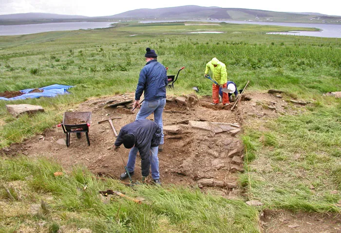
Carlungie Earth House is a remarkable prehistoric “cellar” that reveals how Iron Age communities managed food and underground space.

Its construction demonstrates technical skill, while its potential storage function provides evidence for sophisticated agricultural planning.

← Newer Posts Older Posts →
Featured
image_2026-09-03_000349313.png
September 4, 2026
Eday Manse: Eday's Stone Circles
September 4, 2026
Read more →
September 4, 2026
image_2026-09-03_000437014.png
September 4, 2026
Eday Church: Eday's Viking Graves
September 4, 2026
Read more →
September 4, 2026
image_2026-09-03_000510565.png
September 4, 2026
Redland: Eday's Farm Mound
September 4, 2026
Read more →
September 4, 2026
image_2026-09-03_000540698.png
September 4, 2026
Sandhill Smithy: Eday's Neolithic Site
September 4, 2026
Read more →
September 4, 2026
image_2026-09-03_000618857.png
September 4, 2026
Stove: Eday's Broch
September 4, 2026
Read more →
September 4, 2026
image_2026-09-03_000702424.png
September 4, 2026
Vinquoy: Eday's Chambered Cairn
September 4, 2026
Read more →
September 4, 2026
read more

Powered by The archaeologist